
Ramdis has put a floater over it.
http://rammb.cira.colostate.edu/ramsdis ... _floater_1
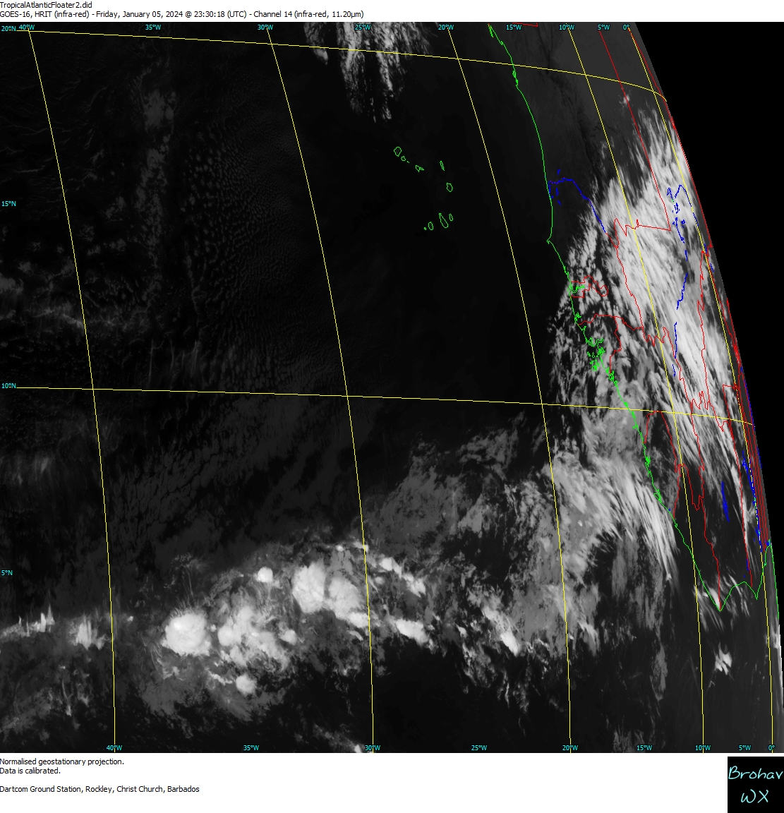
Wave behind Henri
Moderator: S2k Moderators
Forum rules

The posts in this forum are NOT official forecasts and should not be used as such. They are just the opinion of the poster and may or may not be backed by sound meteorological data. They are NOT endorsed by any professional institution or STORM2K. For official information, please refer to products from the National Hurricane Center and National Weather Service.
Re: Wave behind Henri
0 likes
The following post is NOT an official forecast and should not be used as such. It is just the opinion of the poster and may or may not be backed by sound meteorological data. It is NOT endorsed by any professional institution including storm2k.org For Official Information please refer to the NHC and NWS products.
-
gatorcane

- S2K Supporter

- Posts: 23708
- Age: 48
- Joined: Sun Mar 13, 2005 3:54 pm
- Location: Boca Raton, FL
Re: Wave behind Henri
This wave looks very impressive. I can't see how it will miss the Caribbean this time. It may be the first good wave in the Caribbean all season. Everything else has turned north prior to the Caribbean.
0 likes


Re: Wave behind Henri
Looks quite solid...eager to see this evenings Quickscat if it covers the area. As for being too far south and/or crashing into South America (which I just realized is the continent where I am, even if I am thousands of miles away), I think this has enough of a northward component to avoid hitting South America. As for being too far south to take advantage of the Coriolis Effect, I don't think that should be that much of an issue either, as storms occassionally form from 8-10 north, which is where this is right now (and moving north of due west).
0 likes


-
cycloneye

- Admin

- Posts: 149519
- Age: 69
- Joined: Thu Oct 10, 2002 10:54 am
- Location: San Juan, Puerto Rico
Re: Wave behind Henri
Looking better tonight. Code Orange at 8 PM?
0 likes
Visit the Caribbean-Central America Weather Thread where you can find at first post web cams,radars
and observations from Caribbean basin members Click Here
and observations from Caribbean basin members Click Here


Re: Wave behind Henri
cycloneye wrote:Looking better tonight. Code Orange at 8 PM?
I would'nt be surprised if there's a code orange on the next update.
0 likes
-
Gustywind

- Category 5

- Posts: 12334
- Joined: Mon Sep 03, 2007 7:29 am
- Location: Baie-Mahault, GUADELOUPE
Henri continues to weaken in the Atlantic
James Wilson, Lead Meteorologist, The Weather Channel
Oct. 7, 2009 5:30 pm ET
ATLANTIC
 http://www.weather.com/newscenter/tropical/
Elsewhere, a tropical wave is located to the southeast of Henri about 750 miles east-southeast of the Windward Islands. Although the chance for further development is unlikely at this time, expect the wave to spread rain over the central and southern Antilles as it moves through in about 24 to 48 hours.
James Wilson, Lead Meteorologist, The Weather Channel
Oct. 7, 2009 5:30 pm ET
ATLANTIC
Elsewhere, a tropical wave is located to the southeast of Henri about 750 miles east-southeast of the Windward Islands. Although the chance for further development is unlikely at this time, expect the wave to spread rain over the central and southern Antilles as it moves through in about 24 to 48 hours.
0 likes


-
Emmett_Brown

- Category 5
- Posts: 1433
- Joined: Wed Aug 24, 2005 9:10 pm
- Location: Sarasota FL
Re: Wave behind Henri
I don't recall seeing a wave in this area with this type of synoptic setup so far this season. Large H5 high forming to the north, and anticyclone over top of it, with the wave heading toward the Caribbean. While 2009 has kept these storms in check, could this one be the one that makes it through?
I smell invest.
I smell invest.
0 likes
Re: Wave behind Henri
If this consolidates near the recent burst, it should be far enough north to clear South America, though influence from dry air from the continent may still be a factor.
0 likes
-
Emmett_Brown
- Category 5
- Posts: 1433
- Joined: Wed Aug 24, 2005 9:10 pm
- Location: Sarasota FL

-
IvanSurvivor
- Tropical Storm

- Posts: 152
- Joined: Wed Aug 20, 2008 12:12 am
- Location: Pensacola Florida (Warrington)

None are near the states yet (nope, not being sarcastic, but for all the *we love to watch the weather* posts, only a few hard core sorts not being affected -along with those who might be out here- really DO watch and post - I kinda like it myself! Less silliness, more facts, more learning).
0 likes
-
cycloneye
- Admin
- Posts: 149519
- Age: 69
- Joined: Thu Oct 10, 2002 10:54 am
- Location: San Juan, Puerto Rico
Re: Wave behind Henri
They leaved it at code yellow.
TROPICAL WEATHER OUTLOOK
NWS TPC/NATIONAL HURRICANE CENTER MIAMI FL
800 PM EDT WED OCT 7 2009
FOR THE NORTH ATLANTIC...CARIBBEAN SEA AND THE GULF OF MEXICO...
THE NATIONAL HURRICANE CENTER IS ISSUING ADVISORIES ON TROPICAL
STORM HENRI...LOCATED ABOUT 305 MILES EAST-NORTHEAST OF THE
NORTHERN LEEWARD ISLANDS.
DISORGANIZED SHOWERS AND THUNDERSTORMS CONTINUE IN ASSOCIATION WITH
A TROPICAL WAVE LOCATED ABOUT 725 MILES EAST-SOUTHEAST OF THE
WINDWARD ISLANDS. DEVELOPMENT...IF ANY...OF THIS SYSTEM SHOULD BE
SLOW TO OCCUR AS IT MOVES TO THE WEST-NORTHWEST AT ABOUT 15 TO 20
MPH. THERE IS A LOW CHANCE...LESS THAN 30 PERCENT...OF THIS SYSTEM
BECOMING A TROPICAL CYCLONE DURING THE NEXT 48 HOURS.
ELSEWHERE...TROPICAL CYCLONE FORMATION IS NOT EXPECTED DURING THE
NEXT 48 HOURS.
$$
FORECASTER BEVEN
0 likes
Visit the Caribbean-Central America Weather Thread where you can find at first post web cams,radars
and observations from Caribbean basin members Click Here
and observations from Caribbean basin members Click Here


Re:
leanne_uk wrote:I am pretty suprised with that, guess we will have to wait and see what happens at the next update. I however have to get some sleep so I look forward to peeing where this is at in the morning
do you mean to say "seeing" LOL!
any ways its looking quite good at this hour, with what looks like developing bands on the north west and south side. i'm guessing with the way its been organizing all day that we will have a invest by atleast some time tonight.
also I have a question, will the shear that is currently affecting Henri prohibit any further organization down the road?
0 likes
Who is online
Users browsing this forum: Ulf and 119 guests