A new thread for the NGOM area is up.
viewtopic.php?f=31&t=120321&p=2745158#p2745158
2019 Tropics: Global Model Runs Discussion (Out to day 16)
Moderator: S2k Moderators
Forum rules

The posts in this forum are NOT official forecasts and should not be used as such. They are just the opinion of the poster and may or may not be backed by sound meteorological data. They are NOT endorsed by any professional institution or STORM2K. For official information, please refer to products from the National Hurricane Center and National Weather Service.
-
cycloneye

- Admin

- Posts: 149223
- Age: 69
- Joined: Thu Oct 10, 2002 10:54 am
- Location: San Juan, Puerto Rico
Re: 2019 Tropics: Global Model Runs Discussion (Out to day 16)
1 likes
Visit the Caribbean-Central America Weather Thread where you can find at first post web cams,radars
and observations from Caribbean basin members Click Here
and observations from Caribbean basin members Click Here

Re: 2019 Tropics: Global Model Runs Discussion (Out to day 16)
psyclone wrote:WPC is depicting buckets of QPF over the northeastern Gulf and up off the southeast coast especially after day 5. No matter what happens some significant rain appears to be on tap for someone. It's going to be worth monitoring subsequent outlooks as the timeframe reels in.
https://www.wpc.ncep.noaa.gov/qpf/day1-7.shtml
Yikes..., that WOULD be a lot of rain for a bunch of folks. Oddly, the GFS 7 day total accumulation forecast doesn't depict nearly as much though???
https://imgur.com/f9Q3eJ8
0 likes
Andy D
(For official information, please refer to the NHC and NWS products.)
(For official information, please refer to the NHC and NWS products.)

Re: 2019 Tropics: Global Model Runs Discussion (Out to day 16)
drezee wrote:Visibles tomorrow AM will be interesting
I just got home. The visibles for the African wave were quite interesting...lets see if it can stay low...
0 likes

-
AutoPenalti
- Category 5

- Posts: 4091
- Age: 29
- Joined: Mon Aug 17, 2015 4:16 pm
- Location: Ft. Lauderdale, Florida
Re: 2019 Tropics: Global Model Runs Discussion (Out to day 16)
So are we now taking about the AEW in this thread?
0 likes
The posts in this forum are NOT official forecasts and should not be used as such. They are just the opinion of the poster and may or may not be backed by sound meteorological data. They are NOT endorsed by any professional institution or STORM2K. For official information, please refer to products from the NHC and NWS.
Model Runs Cheat Sheet:
GFS (5:30 AM/PM, 11:30 AM/PM)
HWRF, GFDL, UKMET, NAVGEM (6:30-8:00 AM/PM, 12:30-2:00 AM/PM)
ECMWF (1:45 AM/PM)
TCVN is a weighted averaged

Re: 2019 Tropics: Global Model Runs Discussion (Out to day 16)
1012 MB low is along 7N / 24 W
0 likes
-
USTropics
- Professional-Met

- Posts: 2736
- Joined: Sun Aug 12, 2007 3:45 am
- Location: Florida State University
Re: 2019 Tropics: Global Model Runs Discussion (Out to day 16)
Certainly some spin evident on satellite loops, dry air has taken a toll but the area continues to try and push out convection up ahead of the vort maximum:


CIMSS vorticity maps show this as well (albeit elongated).
850mb vorticity:

500mb vorticity:

The biggest obstacle is a large SAL plume that will be moving in conjunction with this wave:

CIMSS vorticity maps show this as well (albeit elongated).
850mb vorticity:
500mb vorticity:
The biggest obstacle is a large SAL plume that will be moving in conjunction with this wave:
3 likes


Re: 2019 Tropics: Global Model Runs Discussion (Out to day 16)
GFS is marginally interested in the wave ahead of that one as it nears the Caribbean.
2 likes
Re: 2019 Tropics: Global Model Runs Discussion (Out to day 16)
USTropics wrote:Certainly some spin evident on satellite loops, dry air has taken a toll but the area continues to try and push out convection up ahead of the vort maximum:
https://i.imgur.com/1imHGDZ.gif
https://i.imgur.com/DHbUTGP.gif
CIMSS vorticity maps show this as well (albeit elongated).
850mb vorticity:
https://i.imgur.com/u3jT8mV.gif
500mb vorticity:
https://i.imgur.com/Tsz9chy.gif
The biggest obstacle is a large SAL plume that will be moving in conjunction with this wave:
https://i.imgur.com/HIpCcua.jpg
So it looks like the African train might be starting.
2 likes
Personal Forecast Disclaimer:
The posts in this forum are NOT official forecast and should not be used as such. They are just the opinion of the poster and may or may not be backed by sound meteorological data. They are NOT endorsed by any professional institution or storm2k.org. For official information, please refer to the NHC and NWS products.
The posts in this forum are NOT official forecast and should not be used as such. They are just the opinion of the poster and may or may not be backed by sound meteorological data. They are NOT endorsed by any professional institution or storm2k.org. For official information, please refer to the NHC and NWS products.
-
cycloneye
- Admin
- Posts: 149223
- Age: 69
- Joined: Thu Oct 10, 2002 10:54 am
- Location: San Juan, Puerto Rico
Re: 2019 Tropics: Global Model Runs Discussion (Out to day 16)
00z FV3-GFS spins a wave but fades fast.

1 likes
Visit the Caribbean-Central America Weather Thread where you can find at first post web cams,radars
and observations from Caribbean basin members Click Here
and observations from Caribbean basin members Click Here
-
Kingarabian

- S2K Supporter

- Posts: 16342
- Joined: Sat Aug 08, 2009 3:06 am
- Location: Honolulu, Hawaii
Re: 2019 Tropics: Global Model Runs Discussion (Out to day 16)
cycloneye wrote:00z FV3-GFS spins a wave but fades fast.
[url]https://i.imgur.com/rKSwo6l.gif[/rl]
It looks weird considering how large these wave envelopes are. Maybe the Euro will show it. But just like the circled system by the NHC that the GFS has been trying to develop on and off near 130W, the vorticity looks a bit abnormal.
0 likes
RIP Kobe Bryant
-
AJC3

- Admin
- Posts: 4153
- Age: 62
- Joined: Tue Aug 31, 2004 7:04 pm
- Location: Ballston Spa, New York
- Contact:
Re: 2019 Tropics: Global Model Runs Discussion (Out to day 16)
After it moves completely offshore later today-tonight, both the ECM and GFS now show this system maintaining itself for about 60-72 hours as a "low latitude runner" along roughly 9N before it opens up and dissipates around Wednesday night-Thursday morning. I'm usually a 'wake me up when it gets west of 40W" kind of guy, however with the wave already being impressive on satellite imagery, and with a relatively strong signal in the model guidance, it appears likely that at the very least we'll have a strong low latitude CV wave to track for the next 2-3 days. Who knows, maybe even a brief CV system? Stranger things have happened in the MDR...
5 likes
-
USTropics
- Professional-Met
- Posts: 2736
- Joined: Sun Aug 12, 2007 3:45 am
- Location: Florida State University
Re: 2019 Tropics: Global Model Runs Discussion (Out to day 16)
AJC3 wrote:
After it moves completely offshore later today-tonight, both the ECM and GFS now show this system maintaining itself for about 60-72 hours as a "low latitude runner" along roughly 9N before it opens up and dissipates around Wednesday night-Thursday morning. I'm usually a 'wake me up when it gets west of 40W" kind of guy, however with the wave already being impressive on satellite imagery, and with a relatively strong signal in the model guidance, it appears likely that at the very least we'll have a strong low latitude CV wave to track for the next 2-3 days. Who knows, maybe even a brief CV system? Stranger things have happened in the MDR...
It has my interest as well, the preceding two waves before this one were quite robust and have created a slight pocket/lessened the extent of the SAL. I've noticed the speeds of the past few waves haven't been as quick (~15 kts) either; might be able to develop one of those classic AEW pouches that provides some protection from the SAL. GFS shows an interesting intrusion of dry air from the south of the wave, which seems to be the main inhibitor (slightly evident on the CIMSS SAL output product as well).


0 likes
-
cycloneye
- Admin
- Posts: 149223
- Age: 69
- Joined: Thu Oct 10, 2002 10:54 am
- Location: San Juan, Puerto Rico
Re: 2019 Tropics: Global Model Runs Discussion (Out to day 16)
1 likes
Visit the Caribbean-Central America Weather Thread where you can find at first post web cams,radars
and observations from Caribbean basin members Click Here
and observations from Caribbean basin members Click Here
-
Hurricaneman

- Category 5
- Posts: 7404
- Age: 45
- Joined: Tue Aug 31, 2004 3:24 pm
- Location: central florida
Re: 2019 Tropics: Global Model Runs Discussion (Out to day 16)
Looks as though the 18zGFS is showing what may be a change towards a more positive for development in the MDR around the end of the run
0 likes
-
floridasun78
- Category 5
- Posts: 3755
- Joined: Sun May 17, 2009 10:16 pm
- Location: miami fl
Re: 2019 Tropics: Global Model Runs Discussion (Out to day 16)
we seen july storm out their but their short live put i see sal is far west of wave not check shear map yet i look shear map look shear could be issie little bit too west 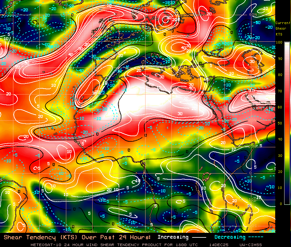
0 likes
-
Kingarabian
- S2K Supporter
- Posts: 16342
- Joined: Sat Aug 08, 2009 3:06 am
- Location: Honolulu, Hawaii

Who is online
Users browsing this forum: Google [Bot] and 47 guests