


SouthFLTropics wrote:cheezyWXguy wrote:
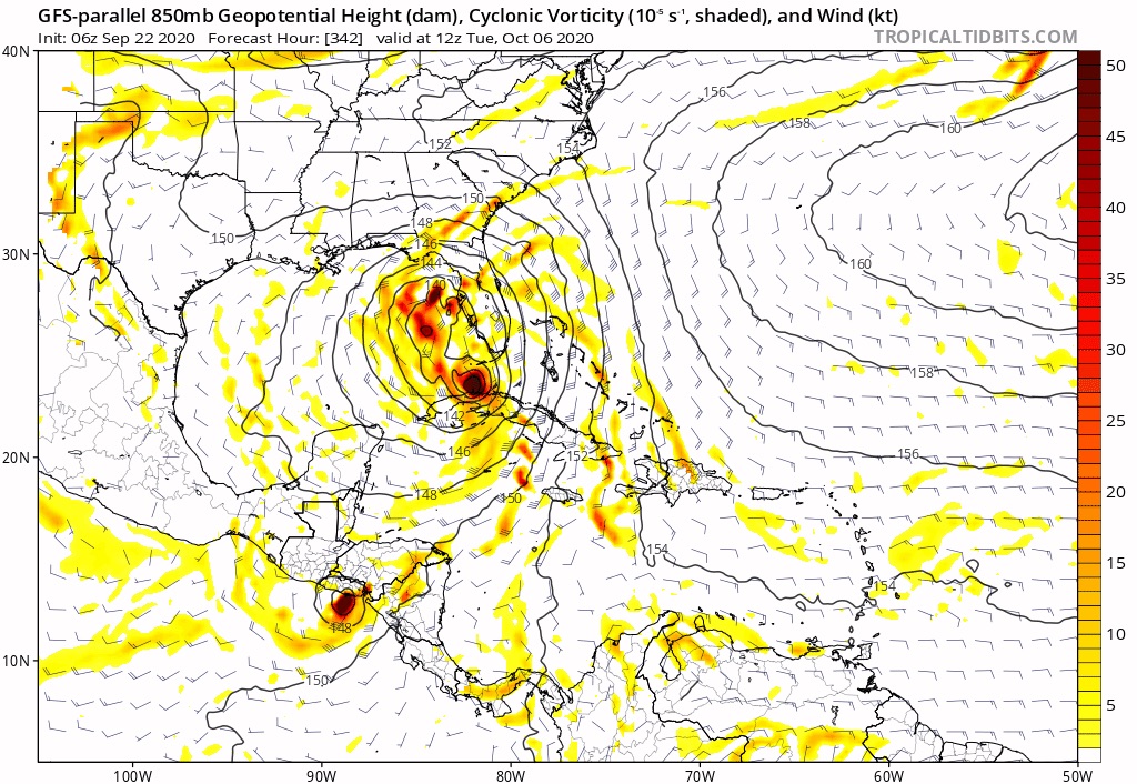
Ha that’s a pretty bizarre looking evolution of that system. Like a TS and cat1 joined at the hip
Probably a sloppy and sheared TS or low end Cat 1 getting pulled quickly out of the Caribbean and riding the front North Northeast. Large coverage area but quick moving. You can see it gets snatched out of the Caribbean and is up to near Georgia within 36 hours. Irene from 1999 may be a good analog.
At 342 hours it's just a long range signal. Nobody should interpret these far flung maps with any specifics in mind. Not saying you are as you are probably just commenting on the verbatim output.


