LarryWx wrote:cheezyWXguy wrote:LarryWx wrote:The chances this is just another in a long line of GFS W Caribbean phantoms have increased markedly during the last 24 hours. I’d say it is now at 2:1 in favor of it being a W Caribbean phantom vs it being at 2:1 in favor of it being for real just 3 days ago.
I'm not so sure. GEFS now shows a signal starting in 168 hours, and the CMC and Icon are showing signs of latching on too. It would seem the GFS only wants to show the system when it is not unreasonably pumping out epac storms. Would be interested to hear your reasoning though.
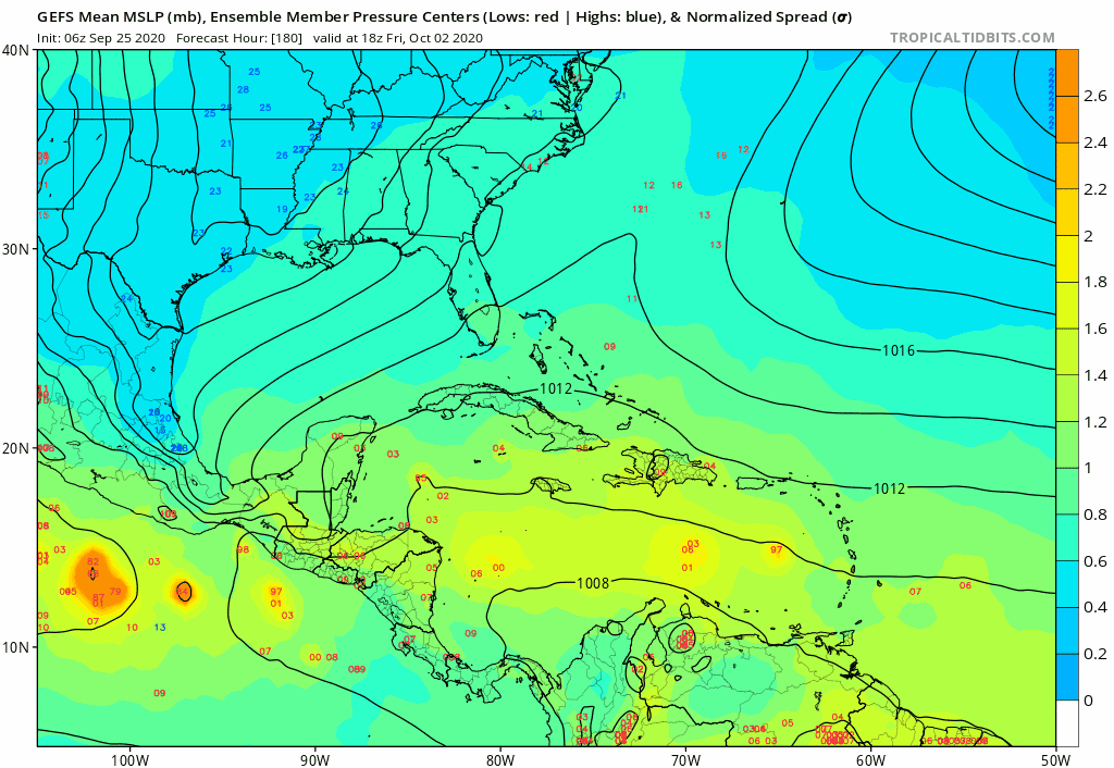
1. GFS runs had been showing 50%+ with a H for several days. Now none have done so recently.
2. GFS has had a history of fake Oct W Caribbean storms for at least several years.
3. The GEFS appears to be too genesis happy in relation to the operational.
4. The Euro suite continues to have very little. The 0Z EPS has backed off that slight uptick the 12Z EPS has and is now back to hardly anything.
5. The ICON and CMC have a history of being genesis happy. For example, the ICON had a fake 94L storm hitting NC on many runs whereas no other model had this.
6. I’m not so sure either. I’m not saying zero chance, especially in deference to the climo of the ENSO based-analogs. But the trend of the GFS toward no development in the W Caribbean is obvious.
7. The bias on weather forums is toward more development chances than reality because most members want development because no development is boring vs development being interesting. This is notwithstanding exceptions like 57 and Frank2, who tend to downplay most of the time.
We have a full blown La Niña and off the charts TCHP going for us this year. It would be off if something doesn’t eventually come out of the Western Caribbean. That region has been basically untouched territory in terms of seeing a monster hurricane in October for YEARS now.