#58 Postby Gustywind » Thu Oct 08, 2009 5:49 am
Henri downgraded to a tropical depression
Wayne Verno, Lead Meteorologist, The Weather Channel
Oct. 8, 2009 6:22 am ET
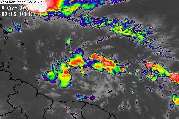
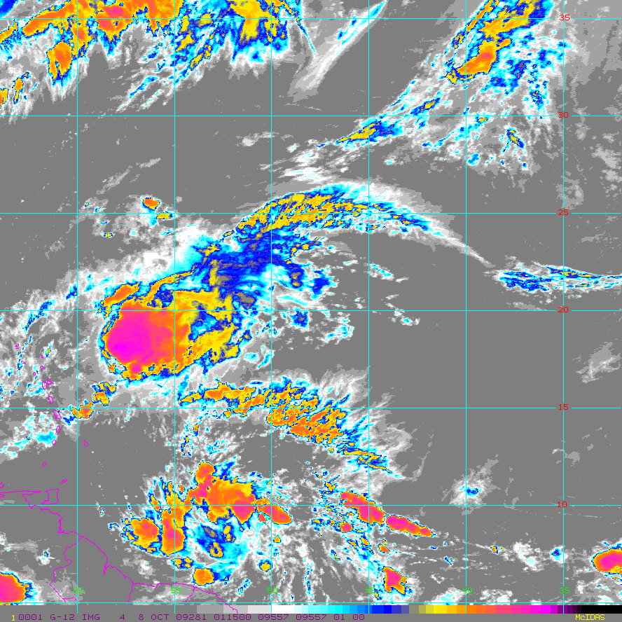
In the Atlantic, Tropical Depression Henri continues to weaken.
As of early Thursday morning, Henri was located 165 miles northeast of the northern Leeward Islands, with maximum winds near 35 mph, mainly northeast of the center.
Henri will continue to encounter upper-level winds that are strong out of the southwest. This will likely result in it weakening to a remnant low by late today while moving west-northwest, and then north.
It will not be any threat to land.
0 likes