
NHC, 72 hours
Moderator: S2k Moderators


OuterBanker wrote:Hot darn, CMC hurricane number 1 of 150 for 2011.
It's always fun to watch the CMC, it develops everything. Swear it was designed by JB.
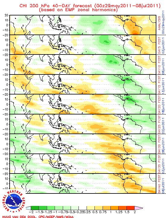
Reality is more like the euro. What does it say?


MGC wrote:Dean....careful what you wish for....remember TS Barry in 2001?
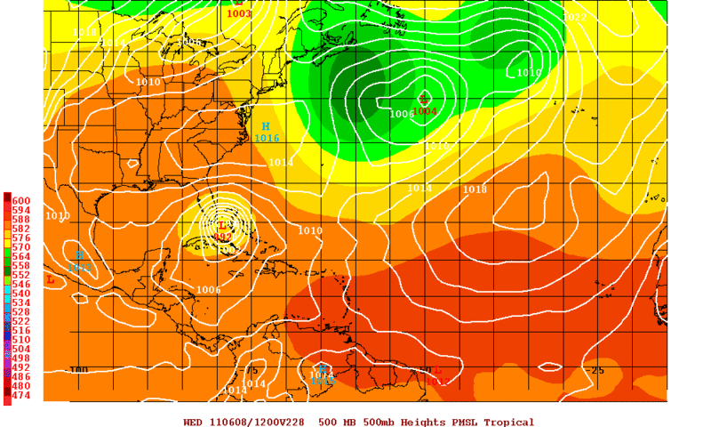
Pretty good model consensus....we will see.
I'm hoping for a tropical depression here on MGC's lawn.....
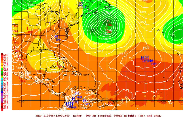
ROCK wrote:12z NOGAPS developes it around 132hr.....
https://www.fnmoc.navy.mil/wxmap_cgi/cg ... t=Tropical
Ptarmigan wrote:ROCK wrote:12z NOGAPS developes it around 132hr.....
https://www.fnmoc.navy.mil/wxmap_cgi/cg ... t=Tropical
Arlene?


CYCLONE MIKE wrote:I for one sure hope this develops into something and makes its way towards the north central gulf coast area, although very doubtful it will happen. A little off topic but we are in a drought in a very bad way right now.
Users browsing this forum: No registered users and 301 guests


