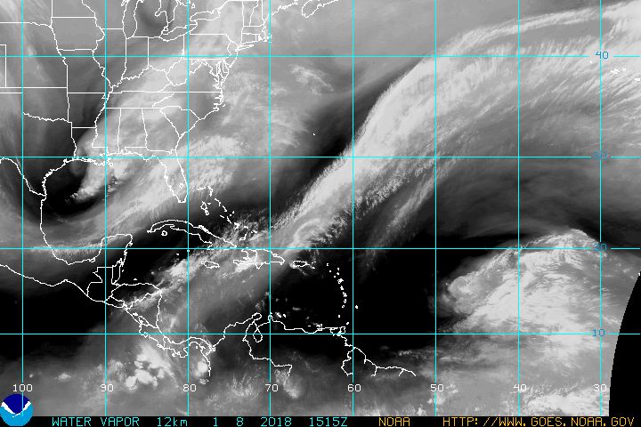
cycloneye wrote:Not to take away the focus from Irene but I think that our main attention must be 96L as it will be a possible threat to some of the islands.
Luis, I thought we agreed you'd keep a storm away from PR these next 2 weeks. *tapping foot* The in-laws are headed there today for 10 days, and hubby and I are going next Fri. for a week. LOL We don't need a storm coming there or coming up this way to worry about. Could ya set up some fans for me? Please