


gatorcane wrote:SFLcane wrote:LarryWx wrote:
Whereas it might be unlikely to become a hurricane and maybe even a TS at this early stage, it isn't just the typically overdone GFS with hurricanes. Seven (14%) of the 0Z EPS members are hurricanes, with 5-6 being MHs. So, I wouldn't make a heavy bet that this won't become a H or even a MH. Let's see what the 12Z Euro suite shows.
There is an actually trackable TW. Conditions look prime ahead and looks like those favorable climate models were correct after all we shall see.
https://twitter.com/andyhazelton/status/1680976201937047558?s=46&t=sStb56JhzYdUjITqDzKFmQ
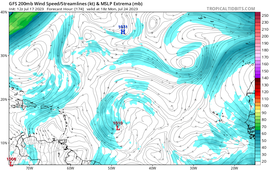
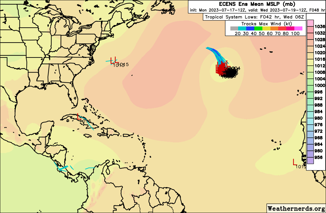
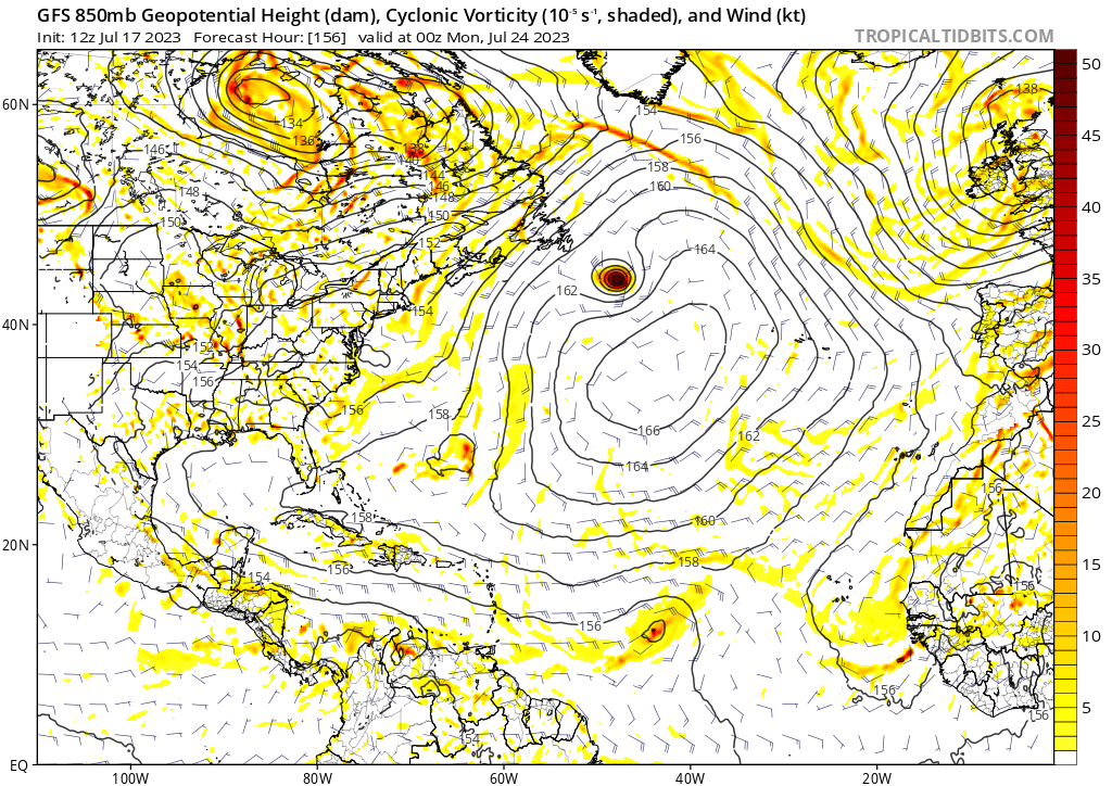
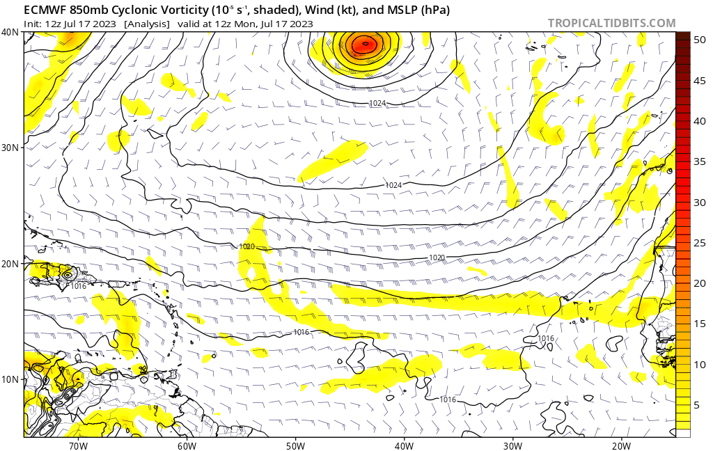
Except conditions are not favorable as you would expect this time of year out there. 12Z Euro looks realistic (animation below), that is, a typical tropical wave heading west in the MDR in July with no development. The CMC pretty much agrees with the Euro also:
https://i.postimg.cc/52s3mWf7/ec-fast-uv850-vort-eatl-fh0-168.gif
When the GFS is the outlier, don't believe it. I think the wave near Africa will most likely track through the Caribbean without development.


