

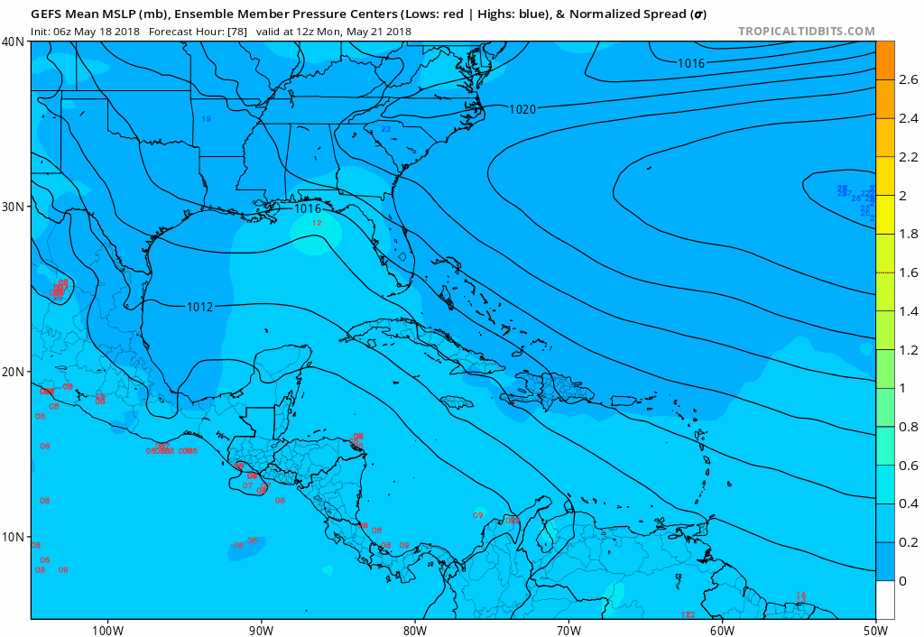
TheStormExpert wrote:Alyono wrote:MUCH weaker so far. Not even a closed low any longer on the GFS
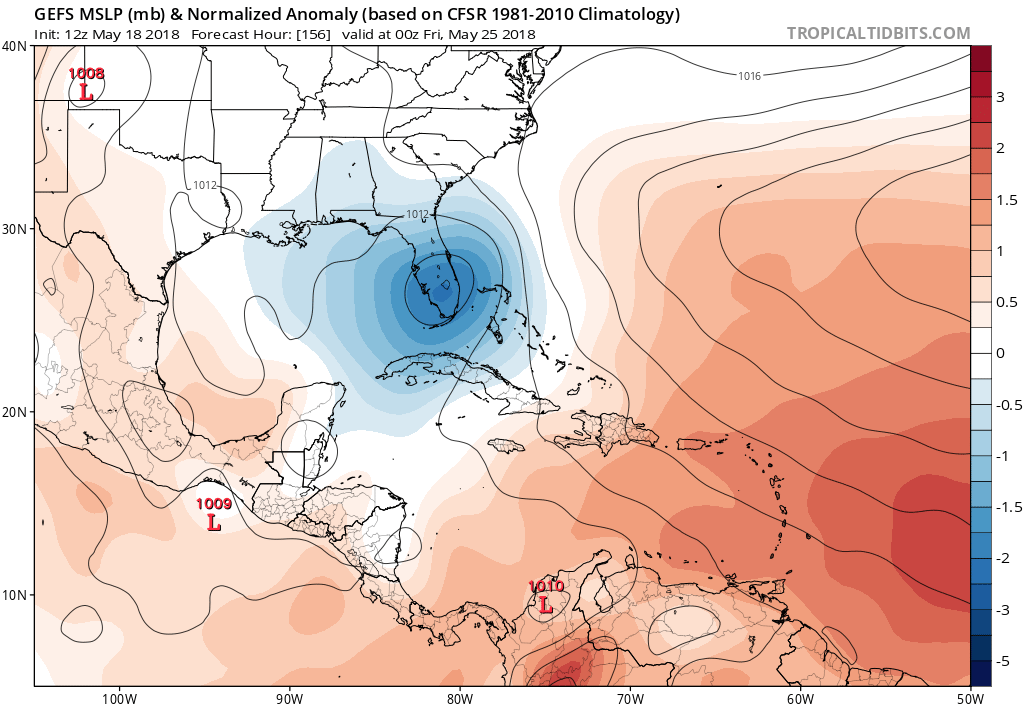
Canadian still has the EPAC TC with now only a disorganized low that is too weak to be classified in the Gulf
12Z models coming in weaker. Even ICON was slightly weaker
The GFS was likely overdoing it (as usual) and is now playing catchup. Wouldn't be surprised if in the end this doesn't even get classified a TC.
the most likely scenario has always been no TC out of this. More likely, either moisture or an extratropical low
Maybe a 1 in 4 chance of a TC or STC at this time


