Tropical Wave in Bay of Campeche (Is Invest 91L)

This is the general tropical discussion area. Anyone can take their shot at predicting a storms path.

Moderator: S2k Moderators

Forum rules

The posts in this forum are NOT official forecasts and should not be used as such. They are just the opinion of the poster and may or may not be backed by sound meteorological data. They are NOT endorsed by any professional institution or STORM2K. For official information, please refer to products from the National Hurricane Center and National Weather Service.

Help Support Storm2K
Message
Author
Frank P
S2K Supporter
S2K Supporter
Posts: 2776
Joined: Fri Aug 29, 2003 10:52 am
Location: Biloxi Beach, Ms
Contact:

Re: Tropical Wave in Eastern Caribbean (0/40)

#861 Postby Frank P » Mon Sep 02, 2024 3:26 pm

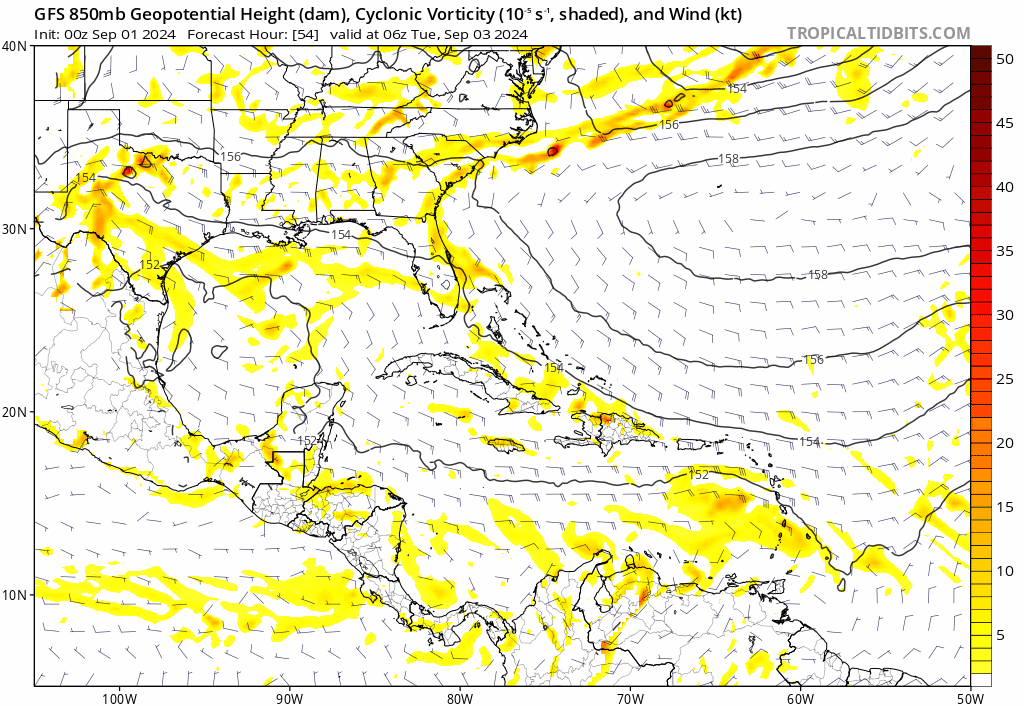
Stratton23 wrote:Frank P, if thats the case, its possible we could see the vorticity focusing more on the northern side of the wave, which could have some pretty dramatic changes down the road, very interesting week ahead with this one

looking at that EURO ensembles run, it's amazing the only ones that go inland out to 240h is the ones heading towards in the northern gulf, all the others look like a gang war in the BOC... weird, tells me one of two things, some members speed up the forward motion causing the system to be influenced by the strong cool front that will be coming down next week turn it north. Or the system misses the front and meanders around in the BOC and SW GOM for some time. All that of course depends on the system developing and this model comes to fruition... haven't a clue what will happen
1 likes   

underthwx
Category 5
Category 5
Posts: 2360
Joined: Sat Jul 30, 2011 2:14 pm
Location: Brazoria County Texas

Re: Tropical Wave in Eastern Caribbean (0/40)

#862 Postby underthwx » Mon Sep 02, 2024 3:27 pm

Stratton23 wrote:EPS upticked in the BOC, also looks like its combining our gulf low and the system into one, the members all kinda merge together, interesting

I read that the broad low near the middle texas coast...is forecast to move inland by Tuesday....so...based on that fact...the broad low will not be a influence on the eastern carribean wave?....right?...
0 likes   

Stratton23
Category 5
Category 5
Posts: 2519
Joined: Fri Jul 21, 2023 10:59 pm
Location: Katy, Tx

Re: Tropical Wave in Eastern Caribbean (0/40)

#863 Postby Stratton23 » Mon Sep 02, 2024 3:29 pm

Frank P the operational Euro has almost a nicholas track, weak low riding up the mexican coast line just off shore, it will be interesting, but thinking their might be some sort of general weakness over the western gulf, we will see, but it could get very interesting down the road
2 likes   

Frank P
S2K Supporter
S2K Supporter
Posts: 2776
Joined: Fri Aug 29, 2003 10:52 am
Location: Biloxi Beach, Ms
Contact:

Re: Tropical Wave in Eastern Caribbean (0/40)

#864 Postby Frank P » Mon Sep 02, 2024 3:34 pm

radar out of PR
Image
2 likes   

Stratton23
Category 5
Category 5
Posts: 2519
Joined: Fri Jul 21, 2023 10:59 pm
Location: Katy, Tx

Re: Tropical Wave in Eastern Caribbean (0/40)

#865 Postby Stratton23 » Mon Sep 02, 2024 3:46 pm

yeah their definitely is some rotation in that region, interesting
0 likes   

Frank P
S2K Supporter
S2K Supporter
Posts: 2776
Joined: Fri Aug 29, 2003 10:52 am
Location: Biloxi Beach, Ms
Contact:

Re: Tropical Wave in Eastern Caribbean (0/40)

#866 Postby Frank P » Mon Sep 02, 2024 3:49 pm

Convection is the northern lobe is spitting outflow boundaries now and cloud tops cooling, and the southern lobe the convection is deepening as of the latest IR images. System looks to me to be moving in a WNW motion.

Image
2 likes   

User avatar
cajungal
Category 5
Category 5
Posts: 2330
Age: 49
Joined: Sun Mar 14, 2004 9:34 pm
Location: Schriever, Louisiana (60 miles southwest of New Orleans)

Re: Tropical Wave in Eastern Caribbean (0/40)

#867 Postby cajungal » Mon Sep 02, 2024 4:31 pm

LAF92 wrote:[url]https://i.postimg.cc/Bv7S1Twy/IMG-1308.jpg [/url]
12z Euro ensembles a out to 10 days


Will still be watching here in SE Louisiana
1 likes   

Stratton23
Category 5
Category 5
Posts: 2519
Joined: Fri Jul 21, 2023 10:59 pm
Location: Katy, Tx

Re: Tropical Wave in Eastern Caribbean (0/40)

#868 Postby Stratton23 » Mon Sep 02, 2024 4:33 pm

18z ICON develops a more defined vortex and eventually becomes a TS on approach to the yucatan, it also eventually merges with the gulf low again, im wondering if thats becoming a real possibility, the euro kinda shows the same thing happening
0 likes   

User avatar
skyline385
Category 5
Category 5
Posts: 2728
Age: 35
Joined: Wed Aug 26, 2020 11:15 pm
Location: Houston TX

Re: Tropical Wave in Eastern Caribbean (0/40)

#869 Postby skyline385 » Mon Sep 02, 2024 4:35 pm

This is interesting, AIFS 12z suddenly got onboard the GoM system from the gyre over Yucatan (from our AOI) trend.

12z EPS also had an uptick in members showing that solution

Image

Image
2 likes   

User avatar
Teban54
Category 5
Category 5
Posts: 3204
Joined: Sat May 19, 2018 1:19 pm

Re: Tropical Wave in Eastern Caribbean (0/40)

#870 Postby Teban54 » Mon Sep 02, 2024 4:58 pm

18z GFS has much better vorticity at all levels in just 6-12 hours, continuing through currently available parts of the run (60 hrs):

Image

Edit: Now loading through 102 hrs and I feel it may be an ugly run. 1005 mb, but more importantly, further north than earlier runs.
2 likes   

User avatar
WaveBreaking
Category 2
Category 2
Posts: 578
Joined: Sun Jun 30, 2024 11:33 am
Location: US

Re: Tropical Wave in Eastern Caribbean (0/40)

#871 Postby WaveBreaking » Mon Sep 02, 2024 5:10 pm

18z run has a nearly closed 1004 mb low in the WCAR @ 108 hours. More north than previous runs too.
0 likes   
I am NOT a professional meteorologist, so take all of my posts with a grain of salt. My opinions are mine and mine alone.

MEANINGLESS_NUMBERS
Category 1
Category 1
Posts: 329
Joined: Mon Nov 02, 2020 1:43 pm

Re: Tropical Wave in Eastern Caribbean (0/40)

#872 Postby MEANINGLESS_NUMBERS » Mon Sep 02, 2024 5:11 pm

Happy hour GFS delivering as always.
0 likes   
Emily '87, Felix '95, Gert '99, Fabian '03, Humberto '19, Paulette '20, Teddy '20, Fiona '22, Lee '23, Ernesto '24

Frank P
S2K Supporter
S2K Supporter
Posts: 2776
Joined: Fri Aug 29, 2003 10:52 am
Location: Biloxi Beach, Ms
Contact:

Re: Tropical Wave in Eastern Caribbean (0/40)

#873 Postby Frank P » Mon Sep 02, 2024 5:11 pm

This could be the first attempt at a hot tower since I've been watching this system, appears at the last image. Basically right in the front center of the blob. Convection looks high on the IR.
Image
2 likes   

User avatar
WaveBreaking
Category 2
Category 2
Posts: 578
Joined: Sun Jun 30, 2024 11:33 am
Location: US

Re: Tropical Wave in Eastern Caribbean (0/40)

#874 Postby WaveBreaking » Mon Sep 02, 2024 5:13 pm

18z gfs starts firing convection around a center @ 120 hours.

Image
0 likes   

I am NOT a professional meteorologist, so take all of my posts with a grain of salt. My opinions are mine and mine alone.

User avatar
Teban54
Category 5
Category 5
Posts: 3204
Joined: Sat May 19, 2018 1:19 pm

Re: Tropical Wave in Eastern Caribbean (0/40)

#875 Postby Teban54 » Mon Sep 02, 2024 5:15 pm

MEANINGLESS_NUMBERS wrote:Happy hour GFS delivering as always.

Unlike most 18z runs, though, we should know whether it has merit in real time in just 12-18 hours. This run shows a big convective burst at 1z (3 hours from now) that continues for at least 6 hours (albeit fading out a bit at the next frame). If vorticity is still strong tomorrow morning, it would suggest 18z GFS may be catching up with short-term trends rather than doing typical happy hour stuff.

Image
0 likes   

User avatar
WaveBreaking
Category 2
Category 2
Posts: 578
Joined: Sun Jun 30, 2024 11:33 am
Location: US

Re: Tropical Wave in Eastern Caribbean (0/40)

#876 Postby WaveBreaking » Mon Sep 02, 2024 5:20 pm

Teban54 wrote:
MEANINGLESS_NUMBERS wrote:Happy hour GFS delivering as always.

Unlike most 18z runs, though, we should know whether it has merit in real time in just 12-18 hours. This run shows a big convective burst at 1z (3 hours from now) that continues for at least 6 hours (albeit fading out a bit at the next frame). If vorticity is still strong tomorrow morning, it would suggest 18z GFS may be catching up with short-term trends rather than doing typical happy hour stuff.

https://i.postimg.cc/gjHvKBh7/image.png


If this latest pulse of convection near the middle of the wave axis that Frank P pointed out maintains itself. Then the 18z run might be onto something.

Image
1 likes   

I am NOT a professional meteorologist, so take all of my posts with a grain of salt. My opinions are mine and mine alone.

DunedinDave
Tropical Storm
Tropical Storm
Posts: 227
Joined: Fri Aug 25, 2023 10:31 am

Re: Tropical Wave in Eastern Caribbean (0/40)

#877 Postby DunedinDave » Mon Sep 02, 2024 5:25 pm

Looks like this may ramp up but fortunately it will looks like it will run into CA and potentially crush it.
0 likes   

User avatar
LadyBug72
Tropical Storm
Tropical Storm
Posts: 118
Joined: Mon Jun 01, 2020 3:39 pm
Location: about 20 miles from Galveston, Tx

Re: Tropical Wave in Eastern Caribbean (0/40)

#878 Postby LadyBug72 » Mon Sep 02, 2024 5:34 pm

skyline385 wrote:This is interesting, AIFS 12z suddenly got onboard the GoM system from the gyre over Yucatan (from our AOI) trend.

12z EPS also had an uptick in members showing that solution

https://i.imgur.com/T1MKfx5.png

https://i.imgur.com/4WgEUDs.png


Can someone please explain what the different colored lines mean?
0 likes   
Formerly known as the user: Nikki

Alicia 83, Allison 01, Rita 05, Ike 08, Harvey 17, Nicholas 21, Coastal Texas Derecho 24, Beryl 24

Stratton23
Category 5
Category 5
Posts: 2519
Joined: Fri Jul 21, 2023 10:59 pm
Location: Katy, Tx

Re: Tropical Wave in Eastern Caribbean (0/40)

#879 Postby Stratton23 » Mon Sep 02, 2024 5:35 pm

I have a strong suspicion that the GFS is too progressive with the upper air pattern, I think its lifting the trough out too fast before ridging builds in, considering it has a hurricane just off the yucatan peninsula, it definitely would feel that trough a but more before turning west
0 likes   

mantis83
Tropical Storm
Tropical Storm
Posts: 198
Joined: Fri Dec 05, 2003 4:47 pm

Re: Tropical Wave in Eastern Caribbean (0/40)

#880 Postby mantis83 » Mon Sep 02, 2024 5:36 pm

DunedinDave wrote:Looks like this may ramp up but fortunately it will looks like it will run into CA and potentially crush it.

yes sir weakens pretty dramatically once it crashes into mexico.....
Last edited by mantis83 on Mon Sep 02, 2024 5:37 pm, edited 1 time in total.
0 likes   


Return to “Talkin' Tropics”

Who is online

Users browsing this forum: No registered users and 38 guests