


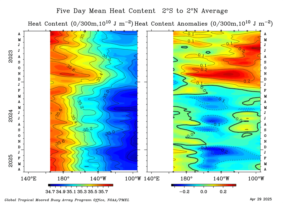
StruThiO wrote:One things for sure, with la nina still managing to drop (as it went down to -0.8 this week), there really is barely any time at all for ENSO to be significantly detrimental to the upcoming hurricane season. I hope things change fast because I don't want an active season after last year. Question: I know Nino 1+2 is subject to more dramatic and quick fluctuations in temperature, but when it's sharply negative like it is currently (per tropicaltidbits) would that "slow" el Nino in any way? Thanks.
2009 El Nino was a late bloomer where it didn't take off until late May-June.


