Tropical Weather Outlook
NWS National Hurricane Center Miami FL
200 PM EDT Wed Aug 22 2018
For the North Atlantic...Caribbean Sea and the Gulf of Mexico:
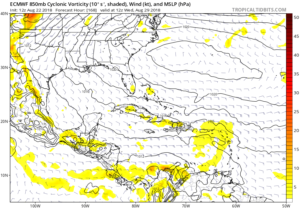
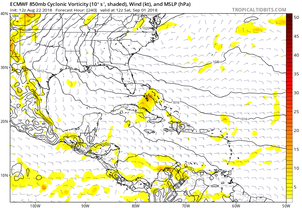
A tropical wave is forecast to emerge off the west coast of Africa
by late Thursday, and then move westward at around 15 mph for the
next several days thereafter. Environmental conditions are expected
to gradually become more conducive for some development to occur by
early next week.
* Formation chance through 48 hours...low...near 0 percent.
* Formation chance through 5 days...low...20 percent.
Forecaster Stewart
NWS National Hurricane Center Miami FL
200 PM EDT Wed Aug 22 2018
For the North Atlantic...Caribbean Sea and the Gulf of Mexico:
A tropical wave is forecast to emerge off the west coast of Africa
by late Thursday, and then move westward at around 15 mph for the
next several days thereafter. Environmental conditions are expected
to gradually become more conducive for some development to occur by
early next week.
* Formation chance through 48 hours...low...near 0 percent.
* Formation chance through 5 days...low...20 percent.
Forecaster Stewart