


Teban54 wrote:skyline385 wrote:Kingarabian wrote:
There are arguable cases in the past where AEWs splash down as formed TCs. They usually get a red circle, then are classified a TD a day later.
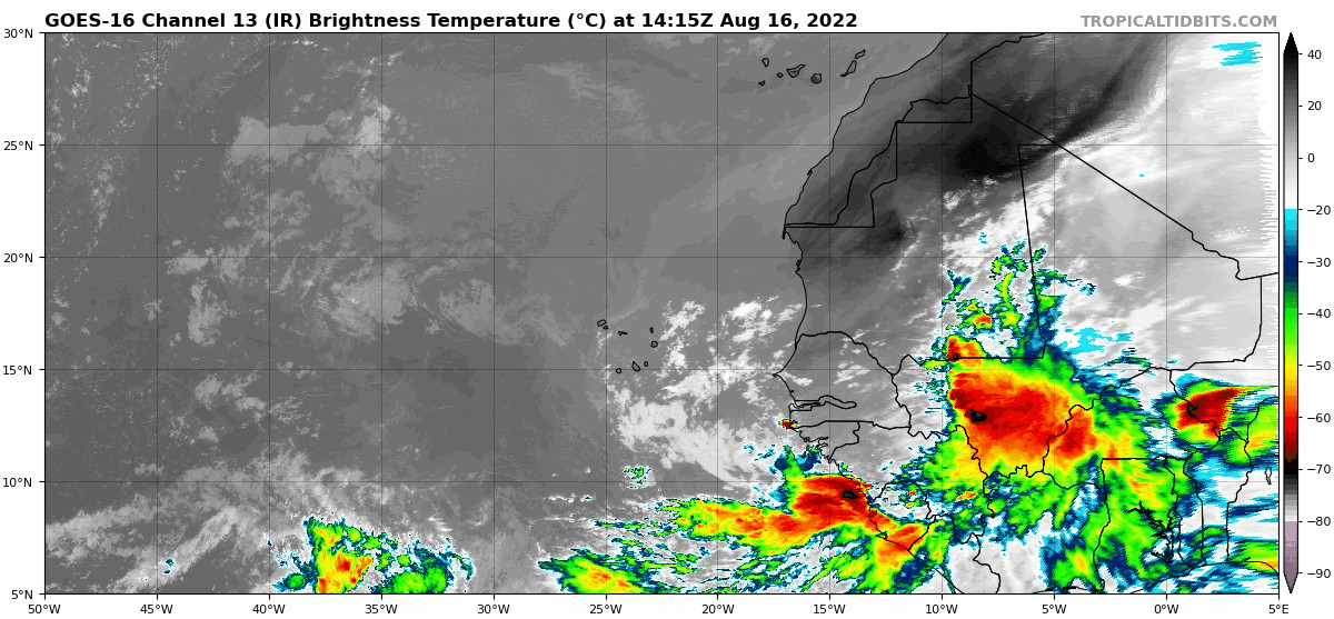
I know there are strong waves which can splash down and immediately transition to a TC but a TC over land? Do you have any examples of this, am really curious about this.
Also FWIW i asked Andy about this a few days back and he was the one who suggested that the ECMWF has a overdeepening bias inland.
https://twitter.com/andyhazelton/status/1555879509878095872?s=21&t=PYBO-860uuxZL6cJRn5bYA
Sent from my iPhone using Tapatalk
According to HURDAT data (visualizer search result here):
- Unnamed TD, 1971: TD inside Africa, peaked as TD
- Christine, 1973: TD inside Africa, peaked as TS
- Unnamed TD, 1978: TD inside Africa, peaked as TD
- Unnamed TD, 1978: TD inside Africa, peaked as TD
Most of them only have one advisory cycle inland, and their second data point is already over water.
IMO, the TDs over land may be suspect, and with today's technology they might not have been classified as such while still over Africa. I also think some of these TDs with long tracks typical of CV storms have probably reached TS strength at some point, even just briefly.
A poster said in the 2021 models thread that Donna 1960 may have been a storm before exiting Africa, but HURDAT still has Donna forming over water officially:CourierPR wrote:SEASON_CANCELED wrote:
When has a tropical system formed hundreds of miles inland with no water underneath?
Please...redpill me.
There was evidence that Donna, in 1960 was already a storm before exiting Africa.
There are many examples of storms that were classified as TDs very close to the African coast. Most recent examples include Rene 2020, Helene 2018 and Florence 2018.
Basically if the EPS is showing a, inland edge of Africa TC, it means the wave could have a large envelope and is very convectivly active with an evident MLC.


