2022 Global Model Runs Discussion (Out thru day 16)

This is the general tropical discussion area. Anyone can take their shot at predicting a storms path.

Moderator: S2k Moderators

Forum rules

The posts in this forum are NOT official forecasts and should not be used as such. They are just the opinion of the poster and may or may not be backed by sound meteorological data. They are NOT endorsed by any professional institution or STORM2K. For official information, please refer to products from the National Hurricane Center and National Weather Service.

Help Support Storm2K
Message
Author
User avatar
weeniepatrol
Category 3
Category 3
Posts: 856
Joined: Sat Aug 22, 2020 5:30 pm
Location: WA State

Re: 2022 Indicators (SSTs/SAL/MSLP/Shear/Steering/Instability) and >Day 16 Models

#1121 Postby weeniepatrol » Fri Aug 05, 2022 12:35 pm

toad strangler wrote:
AutoPenalti wrote:
SFLcane wrote:I found the hurricane guys... :lol:

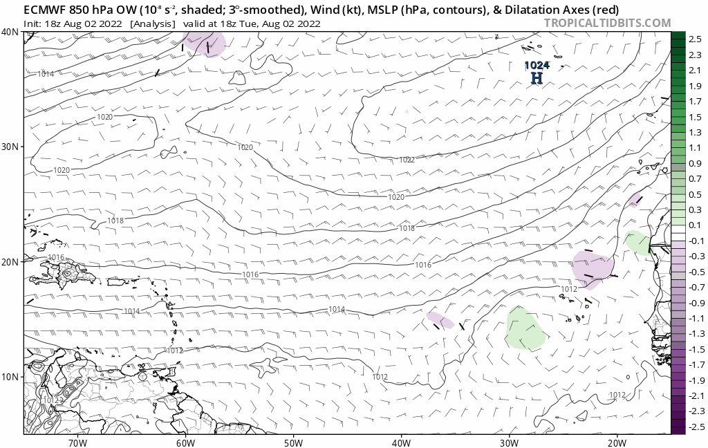
Atlantic is a plie of wasteland right now. Huge wavebreaking! Wake me up when something interesting pops up.

https://i.postimg.cc/KYVTfTzx/gfs.gif

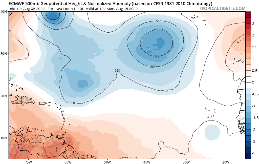
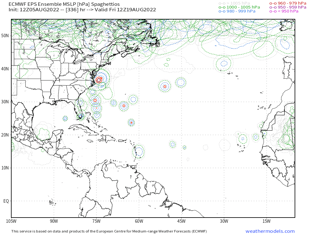
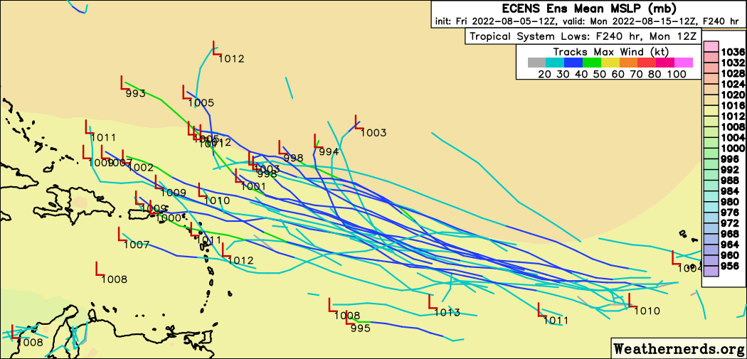
Incoming inactive season.


It's a good time to be a bear.

http://twitter.com/NHC_TAFB/status/1555599514437918720?s=20&t=2d2KQGFlGKX_WTFMFWP6rg


Just loaded up on $MDR monthlies! gonna print :lol:
1 likes   

User avatar
weeniepatrol
Category 3
Category 3
Posts: 856
Joined: Sat Aug 22, 2020 5:30 pm
Location: WA State

Re: 2022 Global Model Runs Discussion (Out thru day 16)

#1122 Postby weeniepatrol » Fri Aug 05, 2022 1:20 pm

lol

Image
0 likes   

User avatar
cycloneye
Admin
Admin
Posts: 139025
Age: 67
Joined: Thu Oct 10, 2002 10:54 am
Location: San Juan, Puerto Rico

Re: 2022 Global Model Runs Discussion (Out thru day 16)

#1123 Postby cycloneye » Fri Aug 05, 2022 1:33 pm

Turns WNW.

Image
0 likes   
Visit the Caribbean-Central America Weather Thread where you can find at first post web cams,radars
and observations from Caribbean basin members Click Here

User avatar
skyline385
Category 5
Category 5
Posts: 2444
Age: 33
Joined: Wed Aug 26, 2020 11:15 pm
Location: Palm Beach County FL

Re: 2022 Global Model Runs Discussion (Out thru day 16)

#1124 Postby skyline385 » Fri Aug 05, 2022 1:52 pm

cycloneye wrote:Turns WNW.

Image

That same wave has been popping up on ICON and CMC too.


Sent from my iPhone using Tapatalk
0 likes   

User avatar
cycloneye
Admin
Admin
Posts: 139025
Age: 67
Joined: Thu Oct 10, 2002 10:54 am
Location: San Juan, Puerto Rico

Re: 2022 Global Model Runs Discussion (Out thru day 16)

#1125 Postby cycloneye » Fri Aug 05, 2022 1:52 pm

It has three. :D

Image
0 likes   
Visit the Caribbean-Central America Weather Thread where you can find at first post web cams,radars
and observations from Caribbean basin members Click Here

User avatar
toad strangler
S2K Supporter
S2K Supporter
Posts: 4162
Joined: Sun Jul 28, 2013 3:09 pm
Location: Earth
Contact:

Re: 2022 Global Model Runs Discussion (Out thru day 16)

#1126 Postby toad strangler » Fri Aug 05, 2022 1:58 pm

Everyone thinks they are a comedian. :roll: :lol:

 http://twitter.com/AndyHazelton/status/1555620485957812224


5 likes   

User avatar
cycloneye
Admin
Admin
Posts: 139025
Age: 67
Joined: Thu Oct 10, 2002 10:54 am
Location: San Juan, Puerto Rico

Re: 2022 Global Model Runs Discussion (Out thru day 16)

#1127 Postby cycloneye » Fri Aug 05, 2022 1:59 pm

Looks at the movement of the storm at the end.

Image
2 likes   
Visit the Caribbean-Central America Weather Thread where you can find at first post web cams,radars
and observations from Caribbean basin members Click Here

User avatar
SFLcane
S2K Supporter
S2K Supporter
Posts: 9606
Age: 46
Joined: Sat Jun 05, 2010 1:44 pm
Location: Lake Worth Florida

Re: 2022 Global Model Runs Discussion (Out thru day 16)

#1128 Postby SFLcane » Fri Aug 05, 2022 2:01 pm

Image
0 likes   

User avatar
toad strangler
S2K Supporter
S2K Supporter
Posts: 4162
Joined: Sun Jul 28, 2013 3:09 pm
Location: Earth
Contact:

Re: 2022 Global Model Runs Discussion (Out thru day 16)

#1129 Postby toad strangler » Fri Aug 05, 2022 2:02 pm

cycloneye wrote:Looks at the movement of the storm at the end.

https://i.imgur.com/WRTejrM.gif


Shhhh :D
2 likes   

User avatar
SFLcane
S2K Supporter
S2K Supporter
Posts: 9606
Age: 46
Joined: Sat Jun 05, 2010 1:44 pm
Location: Lake Worth Florida

Re: 2022 Global Model Runs Discussion (Out thru day 16)

#1130 Postby SFLcane » Fri Aug 05, 2022 2:02 pm

Please explain to me what on earth is this lol!? :lol:

Image
1 likes   

caneseddy
Category 5
Category 5
Posts: 1138
Joined: Fri Sep 03, 2004 9:31 pm
Location: Plantation, FL

Re: 2022 Global Model Runs Discussion (Out thru day 16)

#1131 Postby caneseddy » Fri Aug 05, 2022 2:13 pm

What's interesting about this run is that on July 25, Hurricane Mike posted the following (referring to the second storm) since first one probably aint' goin to happen


Super-super long range, the CFS climate model a day or two ago showed a wave leaving Africa soon that becomes a storm/hurricane in the Gulf around August 7th, and then shows a long-tracked Cape Verde storm that goes north of the U.S. Virgin Islands, through the Bahamas and straight into Southeast Florida by August 24.

All speculative, but a sign of possible activity to come
0 likes   

User avatar
toad strangler
S2K Supporter
S2K Supporter
Posts: 4162
Joined: Sun Jul 28, 2013 3:09 pm
Location: Earth
Contact:

Re: 2022 Global Model Runs Discussion (Out thru day 16)

#1132 Postby toad strangler » Fri Aug 05, 2022 2:20 pm

caneseddy wrote:What's interesting about this run is that on July 25, Hurricane Mike posted the following (referring to the second storm) since first one probably aint' goin to happen


Super-super long range, the CFS climate model a day or two ago showed a wave leaving Africa soon that becomes a storm/hurricane in the Gulf around August 7th, and then shows a long-tracked Cape Verde storm that goes north of the U.S. Virgin Islands, through the Bahamas and straight into Southeast Florida by August 24.

All speculative, but a sign of possible activity to come


Andrew fought dry air and shear all the way across the basin to well N of PR when it all changed. Not bringing up THAT storm for any other reason than the calendar and similar track if it verifies :D :spam:
0 likes   

User avatar
SFLcane
S2K Supporter
S2K Supporter
Posts: 9606
Age: 46
Joined: Sat Jun 05, 2010 1:44 pm
Location: Lake Worth Florida

Re: 2022 Global Model Runs Discussion (Out thru day 16)

#1133 Postby SFLcane » Fri Aug 05, 2022 2:48 pm

:sick:

Image

Image
5 likes   

LarryWx
Category 5
Category 5
Posts: 5698
Joined: Sun Sep 07, 2003 2:04 pm
Location: GA

Re: 2022 Global Model Runs Discussion (Out thru day 16)

#1134 Postby LarryWx » Fri Aug 05, 2022 2:55 pm


Much more active with this MDR wave vs the last several EPS runs. It likely is the most active run so far.
0 likes   
Personal Forecast Disclaimer:
The posts in this forum are NOT official forecasts and should not be used as such. They are just the opinion of the poster and may or may not be backed by sound meteorological data. They are NOT endorsed by any professional institution or storm2k.org. For official information, please refer to the NHC and NWS products.

lsuhurricane
Tropical Storm
Tropical Storm
Posts: 208
Joined: Tue Aug 15, 2017 2:53 pm

Re: 2022 Global Model Runs Discussion (Out thru day 16)

#1135 Postby lsuhurricane » Fri Aug 05, 2022 2:56 pm

Image

12z Euro Ensembles are seeing quite an active spread!
2 likes   

User avatar
skyline385
Category 5
Category 5
Posts: 2444
Age: 33
Joined: Wed Aug 26, 2020 11:15 pm
Location: Palm Beach County FL

2022 Global Model Runs Discussion (Out thru day 16)

#1136 Postby skyline385 » Fri Aug 05, 2022 3:00 pm

12Z EPS decided to go nuts huh. Hilarious how i see atleast 3 members take a 90 degree turn like they hit a wall lol.

Image


Sent from my iPhone using Tapatalk
0 likes   

User avatar
Blown Away
S2K Supporter
S2K Supporter
Posts: 9861
Joined: Wed May 26, 2004 6:17 am

Re: 2022 Global Model Runs Discussion (Out thru day 16)

#1137 Postby Blown Away » Fri Aug 05, 2022 3:09 pm

Image
I think we have a player. Notice a L bend at the end of run.
3 likes   
Hurricane Eye Experience: David 79, Irene 99, Frances 04, Jeanne 04, Wilma 05...
Hurricane Brush Experience: Andrew 92, Erin 95, Floyd 99, Matthew 16, Irma 17, Ian 22, Nicole 22…

zzh
Category 1
Category 1
Posts: 375
Joined: Fri Aug 27, 2021 2:18 pm

Re: 2022 Global Model Runs Discussion (Out thru day 16)

#1138 Postby zzh » Fri Aug 05, 2022 3:10 pm

The chance of recurve is high with the presence of cut off lows.
3 likes   

User avatar
aspen
Category 5
Category 5
Posts: 8056
Joined: Sat Oct 12, 2019 7:10 pm
Location: Connecticut, USA

Re: 2022 Global Model Runs Discussion (Out thru day 16)

#1139 Postby aspen » Fri Aug 05, 2022 3:13 pm


A lot of support, but I’m half expecting this to suddenly vanish like the one from last week lol
0 likes   
Irene '11 Sandy '12 Hermine '16 5/15/2018 Derecho Fay '20 Isaias '20 Elsa '21 Henri '21 Ida '21

I am only a meteorology enthusiast who knows a decent amount about tropical cyclones. Look to the professional mets, the NHC, or your local weather office for the best information.

User avatar
SFLcane
S2K Supporter
S2K Supporter
Posts: 9606
Age: 46
Joined: Sat Jun 05, 2010 1:44 pm
Location: Lake Worth Florida

Re: 2022 Global Model Runs Discussion (Out thru day 16)

#1140 Postby SFLcane » Fri Aug 05, 2022 3:19 pm

aspen wrote:

A lot of support, but I’m half expecting this to suddenly vanish like the one from last week lol


Question is, is this the high water mark and the models back off? Or do they keep trending up?
0 likes   


Return to “Talkin' Tropics”

Who is online

Users browsing this forum: Beef Stew, Blown Away, Google Adsense [Bot] and 97 guests