
wxman57 wrote:I'd like to have another season like 1914, but perhaps with one fewer storm.
https://en.wikipedia.org/wiki/1914_Atlantic_hurricane_season
I suspect 1914 had more storms that went undetected.
Moderator: S2k Moderators

wxman57 wrote:I'd like to have another season like 1914, but perhaps with one fewer storm.
https://en.wikipedia.org/wiki/1914_Atlantic_hurricane_season

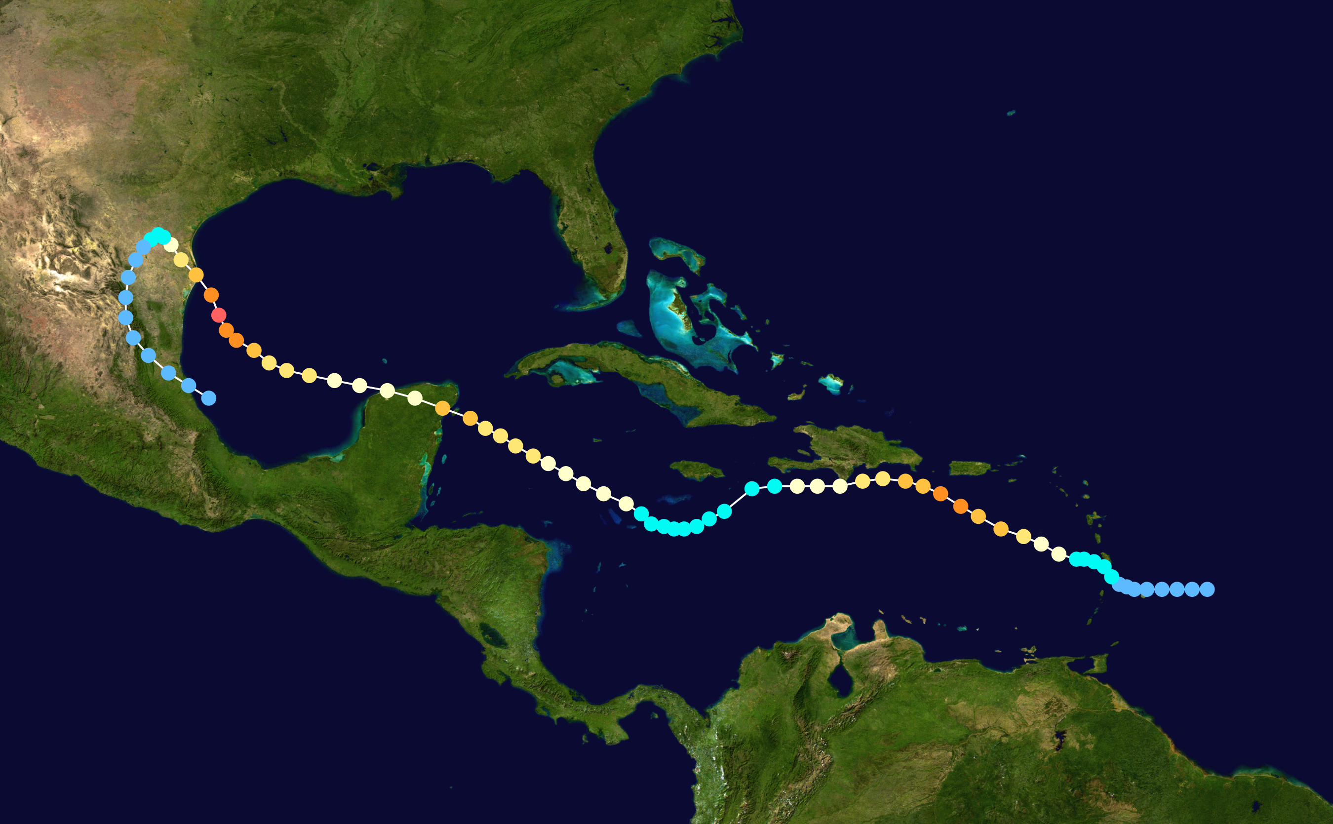
Category5Kaiju wrote:TheAustinMan wrote:CrazyC83 wrote:1933 or 1893 today would likely have had close to 30 storms in each of them. Who knows how many escaped in the ocean unaware...
One wonders how social media would respond to something like September 4, 1933, when two high-end Category 3 hurricanes made landfall on the lower 48 within 24 hours of each other. Brownsville ,Texas, recorded 949 mb / 70 kt, which suggested 940 mb / 110 kt at landfall. Jupiter, Florida, recorded a 948 mb central pressure.
Source: US Daily Weather Maps
https://i.imgur.com/h2N4cLU.png
Of course, there's also 1837, when it's believed Florida was hit by two hurricanes on the same day on two separate occasions.
I'm just waiting for that kind of day to happen again. Imagine the crippling dilemma that major news organizations, let alone storm chasers and meteorologists, are going to face in terms of which storm to cover, especially if both storms target populated regions of the US
Hurricaneman wrote:I can just imagine the posts for Andrew in 1992 like
Sheared and won’t do anything
It’s a tropical wave, lost its circulation
Doesn’t have enough time to do anything significant
To
Andrew is going through Rapid Intensification and is a cat 4 with 945 pressure
Is now 175 mph with 922 pressure near The Bahamas
Is doing an eyewall meld on its way to Miami
Is landfalling at the NHC and measuring 922 pressure with sustained winds of 165mph with gusts to 190+


al78 wrote:Hurricaneman wrote:I can just imagine the posts for Andrew in 1992 like
Sheared and won’t do anything
It’s a tropical wave, lost its circulation
Doesn’t have enough time to do anything significant
To
Andrew is going through Rapid Intensification and is a cat 4 with 945 pressure
Is now 175 mph with 922 pressure near The Bahamas
Is doing an eyewall meld on its way to Miami
Is landfalling at the NHC and measuring 922 pressure with sustained winds of 165mph with gusts to 190+
Wasn't Andrew assessed as a category 4 hurricane with 145 mph sustained winds at its south Florida landfall at the time, and was upgraded some number of years later?


Ptarmigan wrote:wxman57 wrote:I'd like to have another season like 1914, but perhaps with one fewer storm.
https://en.wikipedia.org/wiki/1914_Atlantic_hurricane_season
I suspect 1914 had more storms that went undetected.
On the evening of the 4th the wind circulation over Georgia indicated the development of a disturbance over that region. On the morning of the 6th vessel reports indicated the presence of this disturbance off the south Atlantic coast 200 or 300 miles southeast of Cape Hatteras. By the morning of the 7th it was over Long Island with increased energy, high winds being reported at Nantucket and Block Island. It passed to the Grand Banks during the 48 hours following.
...
During the night of the 26th-27th a low developed over the Middle Atlantic States and on the morning of the 28th was near Norfolk, Va. In the 24 hours following it passed off the coast, and during the nest several days proceeded slowly north-northeastward until at the end of the month it was southeast of Nantucket.
On the 5th there was a moderate depression just south of Nantucket, Mass., with a northeastward movement, and small-craft warnings were ordered for the New England coast. The disturbance passed off rapidly, however, and the winds were only fresh.
At this time also there was a moderate disturbance over the Gulf of Mexico with a marked high pressure area over eastern New York. Storm warnings were therefore ordered at 10 a.m. from Savannah, Ga., to Norfolk, Va., and fresh to moderate strong winds occurred during the day. At 8 .m. of the 2nd, the Gulf disturbance appeared to be a little more threatening and storm warnings were ordered at 930 p.m. from Savannah, Ga., to Fort Monroe, VA. There was no further development, however, and on the morning of the 3d the warnings were ordered clown. There were still some evidences of the disturbance over the northern Gulf of Mexico, and small-craft warnings to this effect were issued. On the morning of the 4th there was a tropical disturbance near the mouth of the Yucatan Channel, accompanied by heavy rains but without winds of consequence, and advisory messages to this effect were at once sent to all coast stations between Boston and New Orleans. The disturbance did not develop materially and no further advices were necessary. On the morning of the 4th there was a moderate depression some distance off the North Carolina coast with marked high pressure to the northward and small-craft warnings were therefore ordered for the extreme southern New England coast. These were followed by fresh to strong northeast winds.


Users browsing this forum: Beef Stew, Chris90, Christiana, ColdMiser123, Cpv17, crownweather, Google [Bot], Google Adsense [Bot], NotSparta, ouragans, zzzh and 191 guests