weeniepatrol wrote:
Eastern Tropical Atlantic:
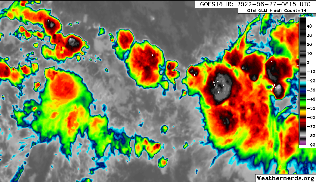
A tropical wave located several hundred miles southwest of the
Cabo Verde Islands is producing disorganized showers and
thunderstorms. Environmental conditions could become conducive for
gradual development later this week while the system moves
west-northwestward at around 15 mph over the central tropical
Atlantic.
* Formation chance through 48 hours...low...near 0 percent.
* Formation chance through 5 days...low...20 percent.
https://i.imgur.com/NVdOeLR.png
It's interesting to see NHC mention this wave in the TWO because the wave the models are actually picking up on is the one farther east at 18W.
Edit: Upon further review, it looks like the wave near 18W actually catches up to the wave being mentioned by NHC (near 31W) . The waves are forecast to merge either between 40-50W WED-THU (ECM solution) or between 50-60W THU-FRI (GFS solution).
Either way, I'll re-title/tweak this thread a bit.
An Atlantic tropical wave has its axis along 18W, south of 16N
and moving W at 15-20 kt. Scattered moderate to isolated strong
convection is observed from 04N to 10N and between 14W and 22W.
Another tropical wave has its axis along 31W, south of 15N and
moving W around 15 kt. Scattered moderate convection is noted from
02N to 09N and between 26W and 36W.
I think what we'll see over the next few days is the NHC will start to mention some interaction between these two waves mentioned above, since that's what both the ECM and GFS are showing from mid-late week. In any event, I adjusted the thread title, however I plan on posting the TWD sections for both waves over the next several days, based on what I think will take place later this week.