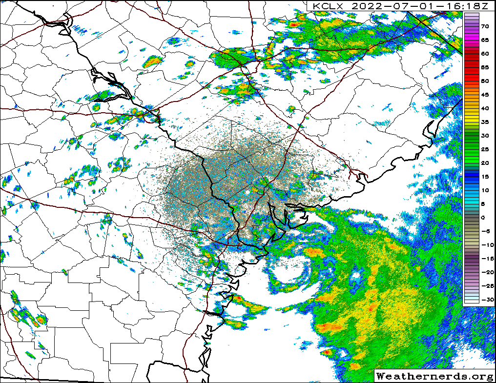
Not sure if anyone else has seen this on this site, but just offshore of Savannah, there's a relatively well-defined rotation with deep convection (albeit sheared away from the center of circulation) that is quite evident on both radar reflectivity and velocity imagery. The values aren't exactly impressive in magnitude, but it's definitely something you'd more likely see with a developing TC in terms of appearance than what I would typically expect. I've included a radar loop out of KLCX/the Charleston radar in this post below to illustrate what I'm talking about.
I don't expect this feature to last long as it's under a decent amount of bulk layer shear (though the low-level winds are relatively aligned through 500 mb), but certainly interesting to wake up and notice what appears to be something that could qualify as a TD. Just a reminder we're in hurricane season either way I suppose.
EDIT: imgur isn't letting me pull up the necessary links for me to properly embed the video, so it seems like you'll have to click through to get onto imgur to see the loop. Very annoying but oh well.