


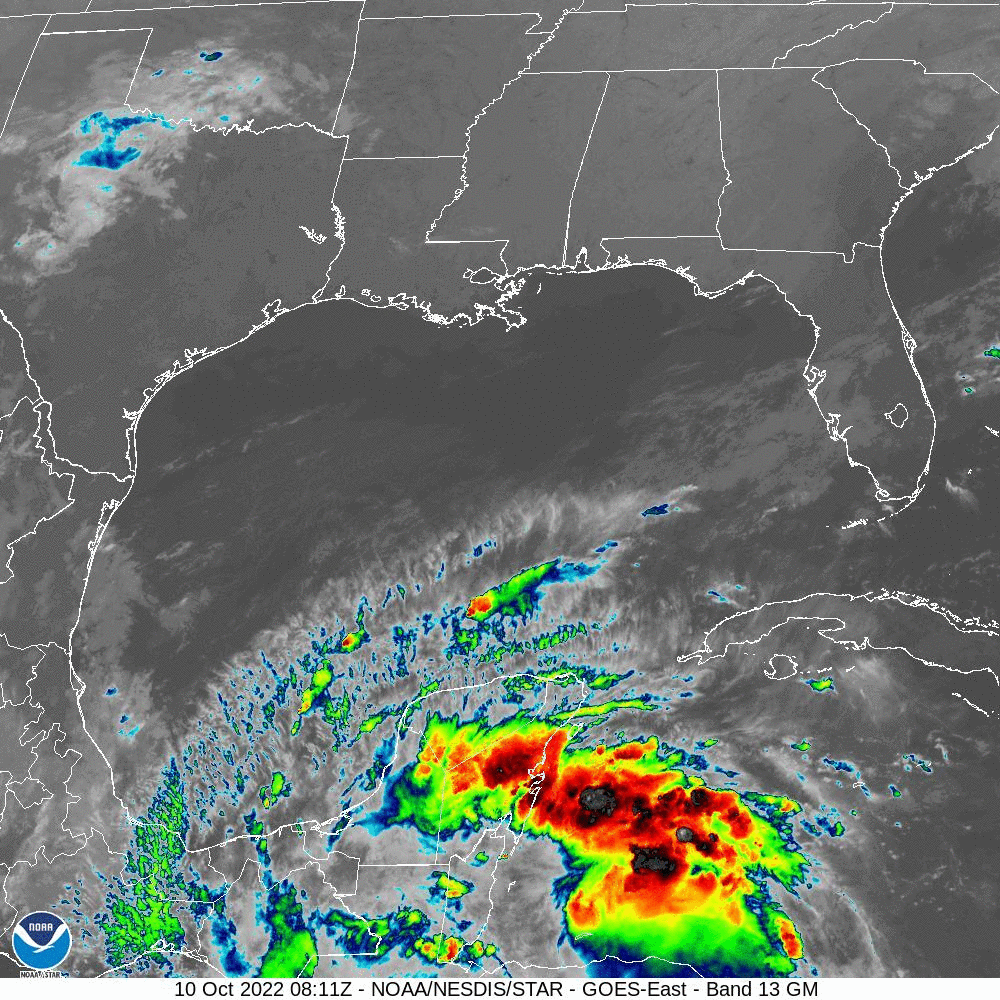
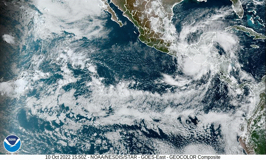
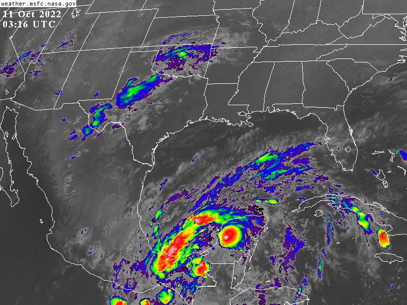
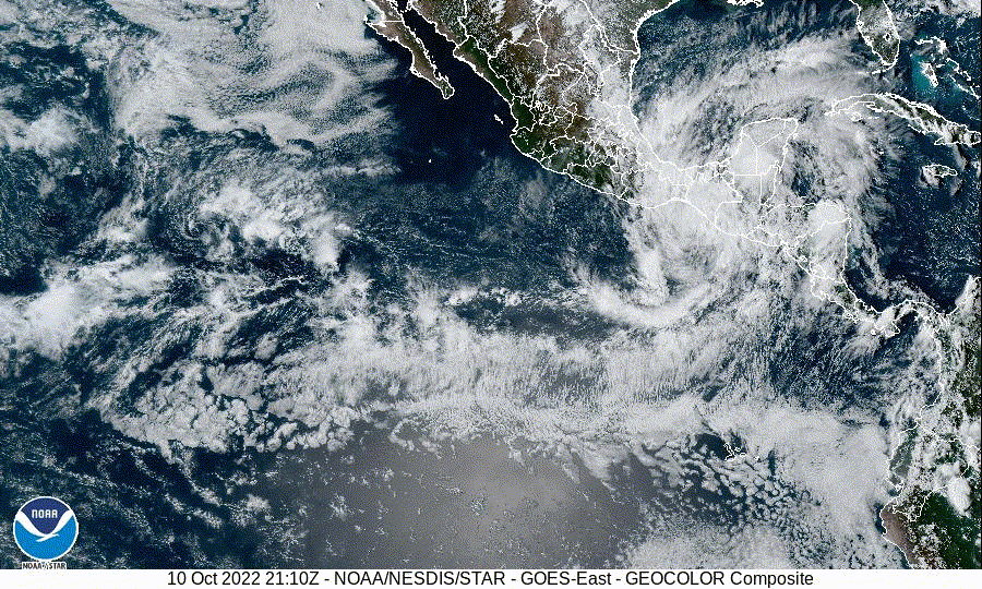
Southwest Gulf of Mexico:
An area of disturbed weather located to the north of Tropical Storm
Julia is forecast to move westward toward the far southwest Gulf of
Mexico during the next day or two. Some slight development of this
system is possible by mid-week if the disturbance remains over
water. Regardless of development, heavy rain is expected over
portions of southern Mexico, Belize, and Guatemala during the next
couple of days.
* Formation chance through 48 hours...low...10 percent.
* Formation chance through 5 days...low...10 percent.


