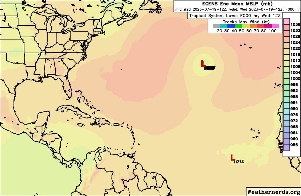
1. Eastern Tropical Atlantic:
Cloudiness and showers over the eastern tropical Atlantic centered
a few hundred miles south of the Cabo Verde Islands are associated
with a tropical wave. While dry air should prevent significant
organization during the next few days, environmental conditions
could become more conducive for some development by this weekend
while the wave moves westward across the central tropical Atlantic
at 15 to 20 mph.
* Formation chance through 48 hours...low...near 0 percent.
* Formation chance through 7 days...low...20 percent.