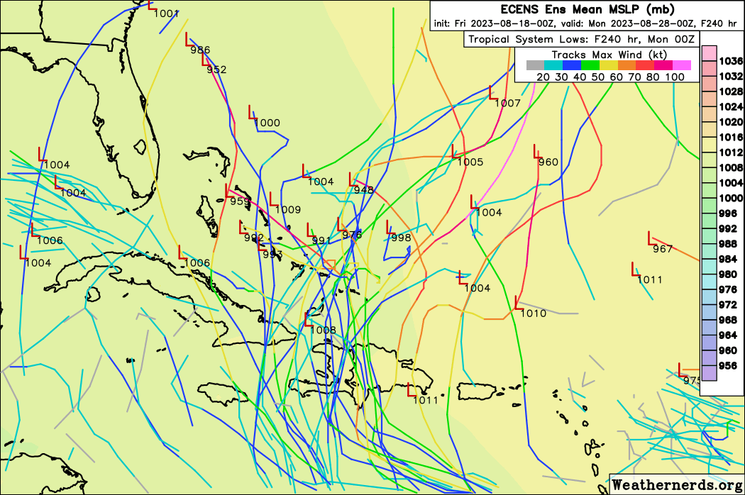
Ianswfl wrote:AutoPenalti wrote:That’s another west shift from 12z.
Any more west shift and looking at a Matthew type storm maybe. That path looks more like what Jeanne took in 2004. Complex pattern. Worst would be further west shift and goes up over Cuba and the Keys.
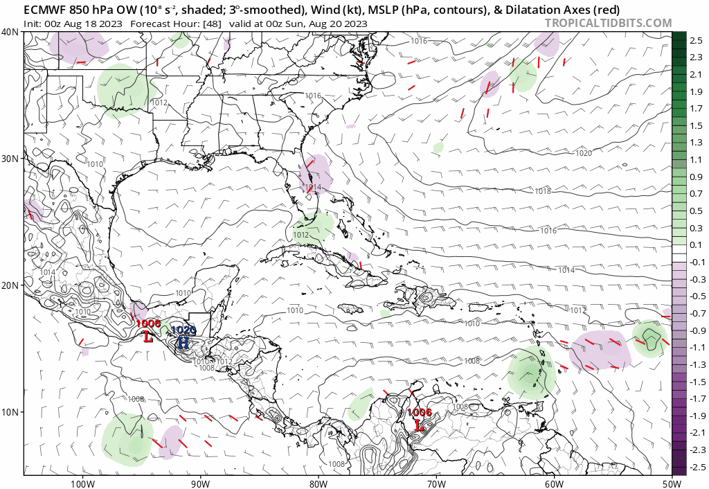
00z Euro… Shift W, does loop in SE Bahamas then finishes moving NW… Upper conditions seem good in SE Bahamas for strengthening…