The following post is NOT an official forecast and should not be used as such. It is just the opinion of the poster and may or may not be backed by sound meteorological data. It is NOT endorsed by any professional institution including storm2k.org For Official Information please refer to the NHC and NWS products.
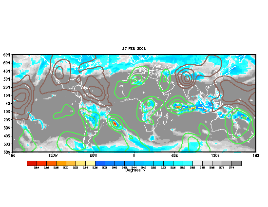
Well this is the first map that I have made so please excuse the corniness but, maybe you'll get the points I'm trying to get across. Please go easy on me

First point is that a very prominant TUTT in the Atlantic seems to be weakening today and it is evident as it is elongating and the southwesterly shear across the Eastern Caribbean is slacking off. You can look at that for yourself on the following water vapor imagry.
http://hadar.cira.colostate.edu/ramsdis ... _ls_0.html
We are in for a cycle of Positive MJO in the Atlantic..

GFS and other models in the next five days are showing a strengthening Bermuda High moving westard after the trough digging into the Southeast US pulls out. As evidence below:
http://moe.met.fsu.edu/cgi-bin/gfstc2.c ... =Animation
SAL is causing dry air in the mid levels in the Eastern Atlantic up to about the Eastern Caribbean. This may cause convection associated with Tropical waves moving westward across the Atlantic to be supressed until they reach the Caribbean.
GFS is hinting at much lower windshear in about 3 - 5 days throughout the Caribbean which would help thunderstorm/convection in that area associated with the tropical waves to be able to constantly fire rather than being sheared apart as they have been in the previous weeks.
Barring any other Upper level features forming in and around the Caribbean I think the hot spot for tropical cyclone development will be in well the Caribbean. As per the features that I mentioned above. Granted I am still learning so any input to this thread would be greatly appriciated as well as anyone elses thoughts on the rest of the hurricane season.


