Page 1 of 1
What causes Cape Verde waves to "poof"?
Posted: Wed Aug 06, 2008 3:02 pm
by BigA
Obviously, a fair number of waves that move off the African coast lose their convection rapidly. Could someone please educate me as to why (what meteorological processes) this occurs? Why does the convection often fail to maintain itself over water?
Posted: Wed Aug 06, 2008 4:01 pm
by HURAKAN
Many factors including cool SST, dry air, SAL, windshear, etc.
Posted: Wed Aug 06, 2008 4:22 pm
by Gustywind
Re: What causes Cape Verde waves to "poof"?
Posted: Wed Aug 06, 2008 4:32 pm
by BigA
HURAKAN wrote:Many factors including cool SST, dry air, SAL, windshear, etc.
These reasons seem true and reasonable.
It makes me wonder, though, why they are able to maintain themselves convectively over Africa, which would seem to have much drier air than the ocean, as well as comparable levels of wind shear.
Posted: Wed Aug 06, 2008 4:43 pm
by HURAKAN
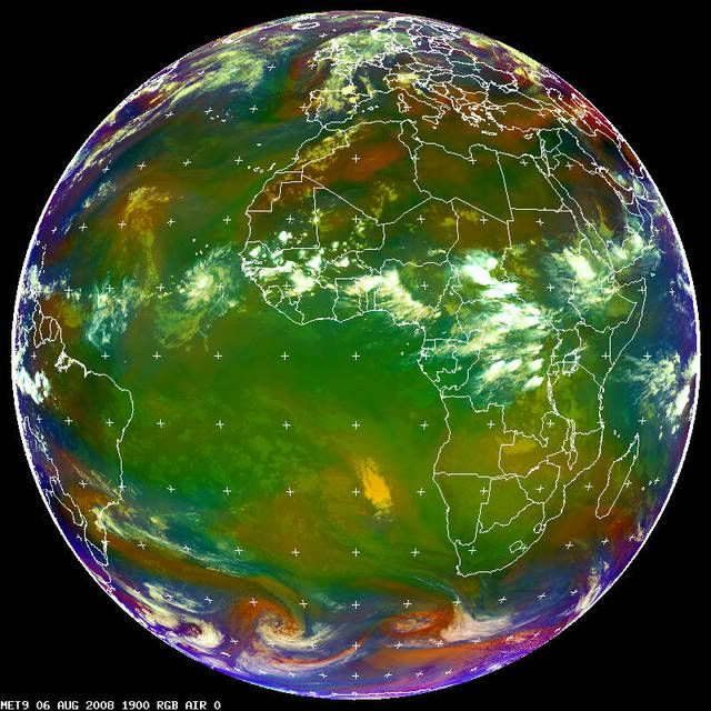
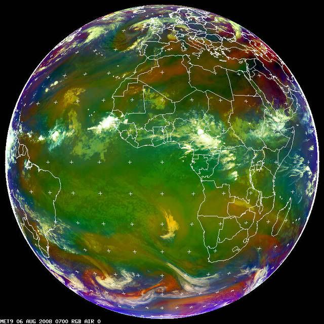
I understood your question and I know that I didn't provide a complete answer. In Africa they are mainly sustained by diurnal heating, just like the storms we have in Florida. Look at the images below. I don't fully understand, and this is a great opportunity if a pro met wants to explain, why some of these waves become more organized than others over the African continent.
Land DMAX:
Land DMIN:
Posted: Sun Aug 17, 2008 8:24 pm
by wxmann_91
The surface of the water is a lot cooler than the surface of the land. However, the upper air temps above both surfaces remains pretty much the same. Thus, the lapse rates (instability) over land are much steeper/stronger than the lapse rates over the ocean. Steeper lapse rates mean stronger convection.
That's not the only explanation though. Many times the convection you see associated with waves is actually not near the wave axis itself, and is instead in front of it. These MCS's (Mesoscale Convective Systems), as they are called, thrive on the vertical lift in front of the wave axis and the instability on land. As these MCS's emerge over the more stable water (you can usually tell that it is one if anomalously cold cloud tops are oriented in a NNW-SSE direction IN FRONT of a cyclonic spin) they usually fall apart and quickly, giving an appearance that the wave has "poofed", although in actuality a wave doesn't actually poof, and can travel several thousand miles without much convection, into the EPAC or towards better conditions further west in the ATL, where it can redevelop convection.