Hurricane Wilma - Cat. 5
Moderator: S2k Moderators
-
DESTRUCTION5

- Category 5

- Posts: 4430
- Age: 44
- Joined: Wed Sep 03, 2003 11:25 am
- Location: Stuart, FL
-
DESTRUCTION5
- Category 5
- Posts: 4430
- Age: 44
- Joined: Wed Sep 03, 2003 11:25 am
- Location: Stuart, FL
-
Josephine96
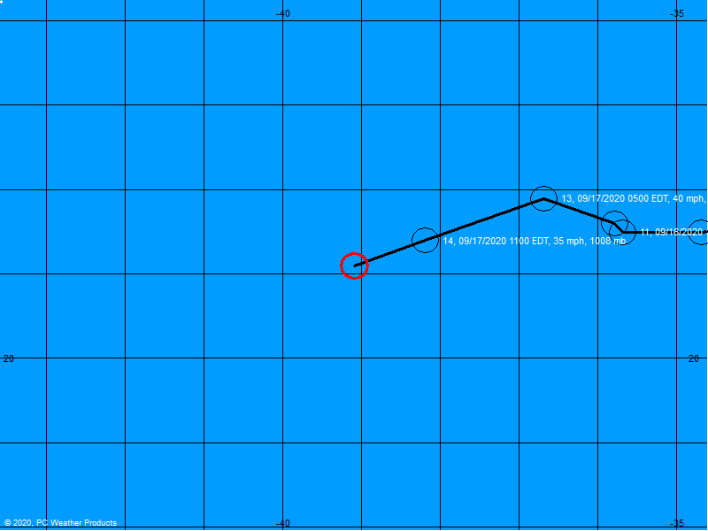
A slower recurve? Hmm.. could that mean if she's gonna make a longer turn, she could make landfall further up the coast..?
Also.. Just out of curiosity.. If you look where the dot for Monday is.. Does that mean they think she's gonna exit the coast a little further north..?
My amateur eyes could be wrong, so please don't blast me..
Also.. Just out of curiosity.. If you look where the dot for Monday is.. Does that mean they think she's gonna exit the coast a little further north..?
My amateur eyes could be wrong, so please don't blast me..
0 likes
-
cycloneye

- Admin

- Posts: 149322
- Age: 69
- Joined: Thu Oct 10, 2002 10:54 am
- Location: San Juan, Puerto Rico
Derek Ortt wrote:it is STILL forecast to hit Florida as a major hurricane
Derek do you think that the sentence about the weakening before Florida before landfall should be at discussion? I ask because now people see that and will relax in Florida and that is my fear about lack of preparation there.
0 likes
Visit the Caribbean-Central America Weather Thread where you can find at first post web cams,radars
and observations from Caribbean basin members Click Here
and observations from Caribbean basin members Click Here
-
Derek Ortt
-
storms in NC

- S2K Supporter

- Posts: 2338
- Joined: Thu Jul 28, 2005 2:58 pm
- Location: Wallace,NC 40 miles NE of Wilm
- Contact:
-
skysummit

- S2K Supporter
- Posts: 5305
- Age: 50
- Joined: Tue Aug 31, 2004 11:09 pm
- Location: Ponchatoula, LA
- Contact:
Derek Ortt wrote:that sentence is the reason why I believe the discussions should be inter govt use only still
while it is true, a cat 3 is a lot weaker than a 5, the public will not interpret it in that manner. Besides, there has been no real change to the forecast intensity anyways
Right...and they need to remember what Katrina did on the east coast as a Cat 1. Also, what Cindy did to New Orleans as a strong TS. Both these girls surprised their audience, and I believe Wilma will do the same.
0 likes

-
storms in NC
- S2K Supporter
- Posts: 2338
- Joined: Thu Jul 28, 2005 2:58 pm
- Location: Wallace,NC 40 miles NE of Wilm
- Contact:
skysummit wrote:Derek Ortt wrote:that sentence is the reason why I believe the discussions should be inter govt use only still
while it is true, a cat 3 is a lot weaker than a 5, the public will not interpret it in that manner. Besides, there has been no real change to the forecast intensity anyways
Right...and they need to remember what Katrina did on the east coast as a Cat 1. Also, what Cindy did to New Orleans as a strong TS. Both these girls surprised their audience, and I believe Wilma will do the same.
Katrian a cat 1? don't think so. must be a type O
0 likes
-
skysummit
- S2K Supporter
- Posts: 5305
- Age: 50
- Joined: Tue Aug 31, 2004 11:09 pm
- Location: Ponchatoula, LA
- Contact:
storms in NC wrote:skysummit wrote:Derek Ortt wrote:that sentence is the reason why I believe the discussions should be inter govt use only still
while it is true, a cat 3 is a lot weaker than a 5, the public will not interpret it in that manner. Besides, there has been no real change to the forecast intensity anyways
Right...and they need to remember what Katrina did on the east coast as a Cat 1. Also, what Cindy did to New Orleans as a strong TS. Both these girls surprised their audience, and I believe Wilma will do the same.
Katrian a cat 1? don't think so. must be a type O
Nope...no type O. Katrina hit the SE coast of Florida as a Cat 1.
0 likes
-
Chigger_Lopez
- Tropical Depression

- Posts: 72
- Joined: Thu Sep 11, 2003 10:11 pm
- Location: Jupiter, FL
"WILMA IS NOW EXPECTED TO
SPEND ENOUGH TIME IN OR NEAR THE YUCATAN TO RESULT IN A
SIGNIFICANTLY WEAKER STORM IN THE GULF WHEN IT APPROACHES FLORIDA."
If cited alone, this may seem to some like NHC is referring to a significantly weaker storm than what was originally forecasted at landfall approach. It is being taken out of context. It refers to the previous sentence where NHC said it could regain strength to a CAT 5. "SIGNIFICANTLY WEAKER THAN A CAT 5 AT LANDFALL", which would be a CAT 2-3.
0 likes
-
storms in NC
- S2K Supporter
- Posts: 2338
- Joined: Thu Jul 28, 2005 2:58 pm
- Location: Wallace,NC 40 miles NE of Wilm
- Contact:

All in it's path, please remember this has turned into a large storm and effects will be seen well away from the center. While land interaction and conditions may weaken her the forecast is very uncertain right now. If I was in the path, I'd be making preps for a Cat 4 to be making landfall Saturday - Sunday.
0 likes
-
wxwatcher2

- Category 1

- Posts: 282
- Joined: Mon Sep 06, 2004 4:51 pm
- Location: Central Florida
Slightly off topic. I'm in florida and I am so tired of hurricanes.
Anyone else kind of like so be it just come on already Wilma and do whatever it is you're going to do.
Tracking storms is no longer fun for me. I'm actually over it.
I view them as interruptions to life rather than anything even slightly interesting anymore.
Anyone else kind of like so be it just come on already Wilma and do whatever it is you're going to do.
Tracking storms is no longer fun for me. I'm actually over it.
I view them as interruptions to life rather than anything even slightly interesting anymore.
0 likes
-
mikemiller18
- Tropical Low

- Posts: 31
- Joined: Thu Aug 25, 2005 12:07 am
Looking at the satellite loop on CNN right now, I notice two things:
(1) The eye looks like it will clear out and start tightening in the next six hours (it's at 35 nautical miles right now, up from 5 miles at the 4am CDT advisory), and
(2) It needs to start going NNW to miss the Yucatan. I don't see that much of a NW turn yet -- slightly, but not enough right now to avoid a Yucatan hit. Adding both of these up means that Cozumel might be seeing a strong cat 4 or even a cat 5 by this time tomorrow.
0 likes
Good morning everyone...
I truly hope this is not off-topic, but I thought I would share with you what we have experienced here on our island as a result of what I believe were feeder bands off Wilma the night before last.(I could be very wrong, but please bear with me, I am a newbie here.....) I live on the island of Provo, 575 miles SE of Miami.
Our island has suffered much damage here as a result of the horrific storms we had the night before last.(combination of winds, lightning and heavy rains) ...roads flooded out, many trees down. Our power has just gone on again after being out since 8PM Tuesday......No one seems to have been prepared for what we experienced in terms of weather that night.
No other way to describe it, but a 'weather event' I will never forget(I went thru a few 'canes on the coast of NE as a child...).
My thoughts and prayers are with all of you.
Gretchen
0 likes
Who is online
Users browsing this forum: No registered users and 250 guests