
Edit: now that I check, HAFS-A actually initializes at 75.1W and is even the most southern solution (about 2.5 degrees south of Jamaica) in the 06z cycle.

Moderators: hurricanetrack, S2k Moderators


GCANE wrote:Chances starting to look better for this to reform around 15N 74.5W sometime during the day today.
In fact recon is heading there now.


GCANE wrote:14.95N 74.45W looking real good.
Top-end rain rate.
Persistent cirrus outflow with stacking and radial fingers.
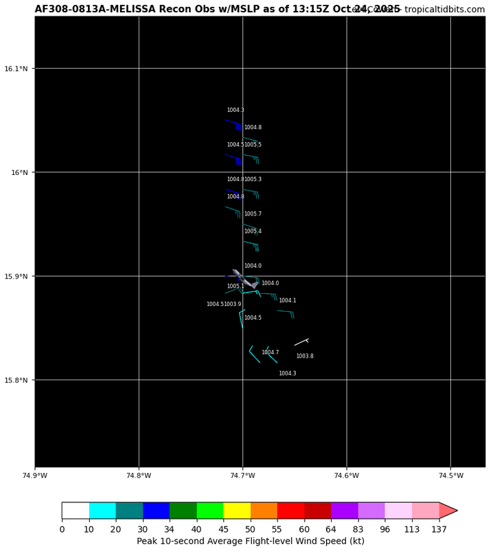
AutoPenalti wrote:GCANE wrote:14.95N 74.45W looking real good.
Top-end rain rate.
Persistent cirrus outflow with stacking and radial fingers.
Isn't this where they tagged the center?
Hypercane_Kyle wrote:Rooting for a LLC re-location south personally. The more this thing gets away from Jamacia the better.

Return to “Active Storms/Invests - Atlantic/EastPAC/CentralPAC/MED”
Users browsing this forum: No registered users and 141 guests


