

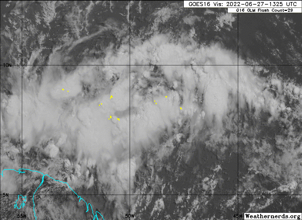
IsabelaWeather wrote:I just dont see how this is going to avoid SA right now. Its not gaining and latitude.
Per the models, it'll start to gain latitude within the next 6-12 hours. If I'm not mistaken, should be reaching the western periphery of the blocking high to its north and flow should gradually switch to WNW instead of due west.


