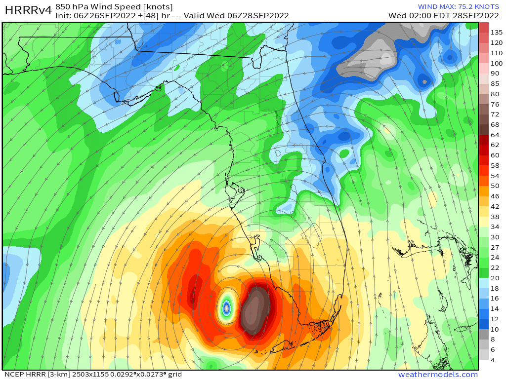
Isn’t that model mesoscale? HRRR sounds familiar
ATL: IAN - Models
Moderator: S2k Moderators
-
AutoPenalti
- Category 5

- Posts: 3949
- Age: 27
- Joined: Mon Aug 17, 2015 4:16 pm
- Location: Ft. Lauderdale, Florida
Re: ATL: IAN - Models
Isn’t that model mesoscale? HRRR sounds familiar
2 likes
The posts in this forum are NOT official forecasts and should not be used as such. They are just the opinion of the poster and may or may not be backed by sound meteorological data. They are NOT endorsed by any professional institution or STORM2K. For official information, please refer to products from the NHC and NWS.
Model Runs Cheat Sheet:
GFS (5:30 AM/PM, 11:30 AM/PM)
HWRF, GFDL, UKMET, NAVGEM (6:30-8:00 AM/PM, 12:30-2:00 AM/PM)
ECMWF (1:45 AM/PM)
TCVN is a weighted averaged
-
chris_fit

- Category 5
- Posts: 3078
- Joined: Wed Sep 10, 2003 11:58 pm
- Location: Tampa Bay Area, FL
- Contact:
Re: ATL: IAN - Models
Seems like a connection there with the trough, but no significant E movement

1 likes
-
Ivanhater

- Storm2k Moderator

- Posts: 10852
- Age: 37
- Joined: Fri Jul 01, 2005 8:25 am
- Location: Pensacola
Re: ATL: IAN - Models
Huge west shift on Euro.
Looks stronger and slower. Earlier runs had it hooking NW at landfall. Euro looks around Apalachicola
Looks stronger and slower. Earlier runs had it hooking NW at landfall. Euro looks around Apalachicola
1 likes
Michael
-
Hurricane Mike
- Category 2

- Posts: 562
- Joined: Tue Apr 10, 2018 7:44 am
Re: ATL: IAN - Models
Wow if that 06z Euro verified, the storm surge would just push straight up Tampa Bay.
3 likes
-
Blown Away

- S2K Supporter

- Posts: 9861
- Joined: Wed May 26, 2004 6:17 am
Re: ATL: IAN - Models
Hurricane Mike wrote:Wow if that 06z Euro verified, the storm surge would just push straight up Tampa Bay.
For sure storm surge would happen, but the sustained hurricane winds stay offshore at that position.
2 likes
Hurricane Eye Experience: David 79, Irene 99, Frances 04, Jeanne 04, Wilma 05...
Hurricane Brush Experience: Andrew 92, Erin 95, Floyd 99, Matthew 16, Irma 17, Ian 22, Nicole 22…
Hurricane Brush Experience: Andrew 92, Erin 95, Floyd 99, Matthew 16, Irma 17, Ian 22, Nicole 22…

Re: ATL: IAN - Models
Wow, big shift to the west by the 06z Euro 
The forecast is becoming a nightmare.
The forecast is becoming a nightmare.
4 likes
-
tolakram
- Admin

- Posts: 19165
- Age: 60
- Joined: Sun Aug 27, 2006 8:23 pm
- Location: Florence, KY (name is Mark)
Re: ATL: IAN - Models
Once again, no matter how much we doubt it, and I was a doubter, the GFS simply does better in this area. It's crazy, but it also hasn't happened yet, so I still have lingering doubts. Euro consistency is meaningless in my opinion.
10 likes
M a r k
- - - - -
Join us in chat: Storm2K Chatroom Invite. Android and IOS apps also available.
The posts in this forum are NOT official forecasts and should not be used as such. Posts are NOT endorsed by any professional institution or STORM2K.org. For official information and forecasts, please refer to NHC and NWS products.

-
skyline385

- Category 5
- Posts: 2444
- Age: 33
- Joined: Wed Aug 26, 2020 11:15 pm
- Location: Palm Beach County FL
Re: ATL: IAN - Models
AutoPenalti wrote:
Isn’t that model mesoscale? HRRR sounds familiar
It is, doesn't have a global grid either like the high resolution NAM versions
1 likes

Re: ATL: IAN - Models
tolakram wrote:Once again, no matter how much we doubt it, and I was a doubter, the GFS simply does better in this area. It's crazy, but it also hasn't happened yet, so I still have lingering doubts. Euro consistency is meaningless in my opinion.
My head is spinning between the flopping model runs at such a short time scale between Euro and GFS. 06z GFS moved east, 06z Euro moved west....now what happens at 12z? Do they finally align with each other? If we weren't talking about a CAT4 storm, most of my concern might be academic but we're literally on pins and needles on the Florida west coast now.
2 likes
-
skyline385
- Category 5
- Posts: 2444
- Age: 33
- Joined: Wed Aug 26, 2020 11:15 pm
- Location: Palm Beach County FL
Re: ATL: IAN - Models
tolakram wrote:Once again, no matter how much we doubt it, and I was a doubter, the GFS simply does better in this area. It's crazy, but it also hasn't happened yet, so I still have lingering doubts. Euro consistency is meaningless in my opinion.
GFS was also the first to see the stall/slowdown, I remember when so many folks were very insistent that a stall isn't possible in the Gulf in late September
Last edited by skyline385 on Mon Sep 26, 2022 7:50 am, edited 1 time in total.
2 likes

Re: ATL: IAN - Models
i mean the GFS has been ALL OVER the place the last 4 days...easy to give it credit because one of them has to be right eventually lol...GFS can put it into Sanibel or Destin next run and neither would surprise me or to see it laser in on somewhere now and be right
4 likes
Just like Jon Snow..."I know nothing" except what I know, and most of what I know is gathered by the fine people of the NHC

Re: ATL: IAN - Models
Now seems like a good time to remind everyone to please donate to help keep these boards going and support Storm2K
There is a handy PayPal link at the top of the page, and I’m sure even the smallest of amounts helps
I just added a small amount myself to keep this invaluable service going
There is a handy PayPal link at the top of the page, and I’m sure even the smallest of amounts helps
I just added a small amount myself to keep this invaluable service going
Last edited by Elsiecoro on Mon Sep 26, 2022 7:55 am, edited 1 time in total.
4 likes

Re: ATL: IAN - Models
skyline385 wrote:tolakram wrote:Once again, no matter how much we doubt it, and I was a doubter, the GFS simply does better in this area. It's crazy, but it also hasn't happened yet, so I still have lingering doubts. Euro consistency is meaningless in my opinion.
GFS was also the first to see the stall/slowdown, I remember when so many folks were very insistent that a stall isn't possible in the Gulf in late September
In 50+ years tracking hurricanes, the only thing I can say with certainty is that anythings possible, even if it's never been recorded before.
7 likes
Living at the intersection of Rita and Humberto and Ike and Harvey and Laura and Delta!
This post is NOT an official forecast and should not be used as such. It is just my opinion and may or may not be backed by sound meteorological products.
This post is NOT an official forecast and should not be used as such. It is just my opinion and may or may not be backed by sound meteorological products.
-
skyline385
- Category 5
- Posts: 2444
- Age: 33
- Joined: Wed Aug 26, 2020 11:15 pm
- Location: Palm Beach County FL
Re: ATL: IAN - Models
CronkPSU wrote:i mean the GFS has been ALL OVER the place the last 4 days...easy to give it credit because one of them has to be right eventually lol...GFS can put it into Sanibel or Destin next run and neither would surprise me or to see it laser in on somewhere now and be right
I made a trend comparison between the GFS and Euro a few pages back, basically both models have fluctuated nearly the same over the past 2-3 days, GFS has been on the west while the Euro has been on east.
1 likes
-
AutoPenalti
- Category 5
- Posts: 3949
- Age: 27
- Joined: Mon Aug 17, 2015 4:16 pm
- Location: Ft. Lauderdale, Florida
Re: ATL: IAN - Models
7 likes
The posts in this forum are NOT official forecasts and should not be used as such. They are just the opinion of the poster and may or may not be backed by sound meteorological data. They are NOT endorsed by any professional institution or STORM2K. For official information, please refer to products from the NHC and NWS.
Model Runs Cheat Sheet:
GFS (5:30 AM/PM, 11:30 AM/PM)
HWRF, GFDL, UKMET, NAVGEM (6:30-8:00 AM/PM, 12:30-2:00 AM/PM)
ECMWF (1:45 AM/PM)
TCVN is a weighted averaged
-
cycloneye

- Admin
- Posts: 139050
- Age: 67
- Joined: Thu Oct 10, 2002 10:54 am
- Location: San Juan, Puerto Rico
Re: ATL: IAN - Models
5 likes
Visit the Caribbean-Central America Weather Thread where you can find at first post web cams,radars
and observations from Caribbean basin members Click Here
and observations from Caribbean basin members Click Here
-
Ivanhater
- Storm2k Moderator
- Posts: 10852
- Age: 37
- Joined: Fri Jul 01, 2005 8:25 am
- Location: Pensacola
Re: ATL: IAN - Models
Yeah. I don't get why some people keep calling it the "worst model for Ian" when in fact, it has the been the best this far.
5 likes
Michael
-
cycloneye
- Admin
- Posts: 139050
- Age: 67
- Joined: Thu Oct 10, 2002 10:54 am
- Location: San Juan, Puerto Rico
Re: ATL: IAN - Models

1 likes
Visit the Caribbean-Central America Weather Thread where you can find at first post web cams,radars
and observations from Caribbean basin members Click Here
and observations from Caribbean basin members Click Here
Who is online
Users browsing this forum: No registered users and 15 guests