they probably should have sent the plane.........

Moderator: S2k Moderators


Aric Dunn wrote:Interesting...
they probably should have sent the plane.........
https://www.fnmoc.navy.mil/tcweb/dynamic/products/tc22/ATL/91L.INVEST/ssmis/91rgb/20221005.2250.f17.91pct91h91v.91L.INVEST.30kts.1006mb.11.4N.62.8W.075pc.jpg


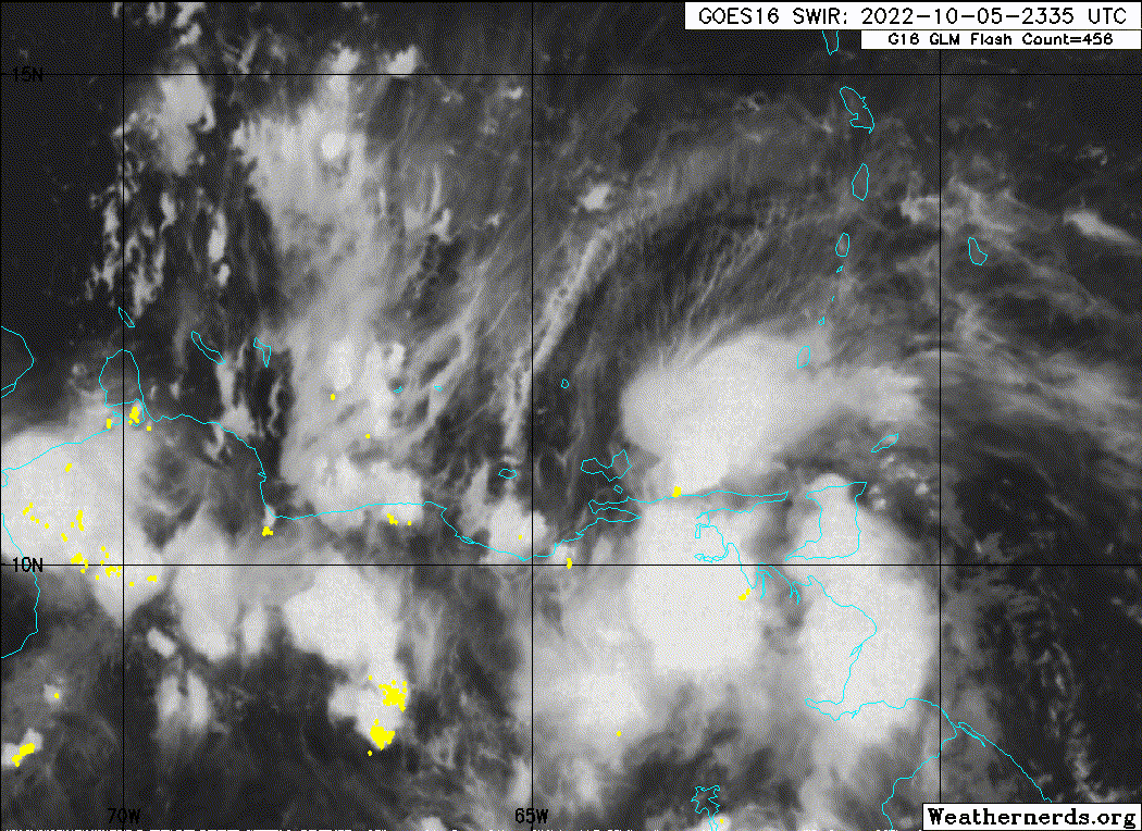
aspen wrote:I think PTC advisories are warranted now. It’s up to 70% in 48 hours, the NHC has recognized its improved organization, and recon from earlier today found evidence for TS-force surface winds. It’s tracking so close to land that advisories may be needed.
MarioProtVI wrote:aspen wrote:I think PTC advisories are warranted now. It’s up to 70% in 48 hours, the NHC has recognized its improved organization, and recon from earlier today found evidence for TS-force surface winds. It’s tracking so close to land that advisories may be needed.
It’ll have to wait until 11am tomorrow since they never initiate PTC advisories at night.

Nuno wrote:MarioProtVI wrote:aspen wrote:I think PTC advisories are warranted now. It’s up to 70% in 48 hours, the NHC has recognized its improved organization, and recon from earlier today found evidence for TS-force surface winds. It’s tracking so close to land that advisories may be needed.
It’ll have to wait until 11am tomorrow since they never initiate PTC advisories at night.
I hope they initiate them sooner at 5am. Don't need to wait to 11am.
cycloneye wrote:https://twitter.com/wxtrackercody/status/1577847720114634753

zzzh wrote:https://i.imgur.com/a0BwhjZ.jpg
Center is clear on microwave. Much further north than NHC position.


Aric Dunn wrote:zzzh wrote:https://i.imgur.com/a0BwhjZ.jpg
Center is clear on microwave. Much further north than NHC position.
Yeah I think ASCAT is having issues with all the islands and land nearby. the LLC is pretty apparent on satellite and multiple microwave passes now a good bit north. hopefully, they send a plane tomorrow,.
https://i.ibb.co/zhd3YxH/91l.png
AJC3 wrote:Aric Dunn wrote:zzzh wrote:https://i.imgur.com/a0BwhjZ.jpg
Center is clear on microwave. Much further north than NHC position.
Yeah I think ASCAT is having issues with all the islands and land nearby. the LLC is pretty apparent on satellite and multiple microwave passes now a good bit north. hopefully, they send a plane tomorrow,.
https://i.ibb.co/zhd3YxH/91l.png
It's not the instrument. When a formative system is embedded in the easterly trades, the surface LLC shown in scatterometer data is always going to be displaced south of the LL vort center you see in M/I because of the translational forward speed. Take an idealized (uniform) LLVC, vectorially add 15kt across its environment, and watch what happens to the center. A great example of this is cyclone Agni in 2004. All of the M/I passes as well as conventional satellite data showed the apparent formative vort center remaining north of the equator, however QS clearly showed the surface wind center dipped south of it.
I made a post about this on here several years ago. I'll see if I can find it...
cheezyWXguy wrote:AJC3 wrote:Aric Dunn wrote:
Yeah I think ASCAT is having issues with all the islands and land nearby. the LLC is pretty apparent on satellite and multiple microwave passes now a good bit north. hopefully, they send a plane tomorrow,.
https://i.ibb.co/zhd3YxH/91l.png
It's not the instrument. When a formative system is embedded in the easterly trades, the surface LLC shown in scatterometer data is always going to be displaced south of the LL vort center you see in M/I because of the translational forward speed. Take an idealized (uniform) LLVC, vectorially add 15kt across its environment, and watch what happens to the center. A great example of this is cyclone Agni in 2004. All of the M/I passes as well as conventional satellite data showed the apparent formative vort center remaining north of the equator, however QS clearly showed the surface wind center dipped south of it.
I made a post about this on here several years ago. I'll see if I can find it...
This is interesting but a bit over my head. Is ascat too far south with the center, or is microwave too far north?

Users browsing this forum: No registered users and 30 guests