Aye carumba!
That rainband is painfully bright to look at. Sun angle must be perfect to make those thunderstorm clouds just glow.
INVEST 90L: Gulf of Mexico : Gone from NRL
Moderator: S2k Moderators
-
Extremeweatherguy

- Category 5

- Posts: 11095
- Joined: Mon Oct 10, 2005 8:13 pm
- Location: Houston, TX
Well the initial rainband seems to be fading a bit (though it will still likely produce a period of moderate/heavy rain and gusty winds), but the big news now is the fact that more of these bands are trying to setup. If the trend continues, then we could be in for a pretty soggy evening and overnight as the low center makes landfall near High Island and then tracks inland toward NE Harris county.
0 likes
-
Ed Mahmoud
Re: INVEST 90L: Gulf of Mexico : Discussions & Images
There is a thread about whether 2007 is a dud season, and two Cat 5s making landfall, says for Central America, not at all, but seeing how a naked swirl travelled the entire Gulf, and finally fired a few storms right before landfall, outside of the extreme deep tropics, down between 10 and 15ºN, the tropics have been rather sedate.
Of course, if people in the Golden Triangle region of Texas, or the people that lost homes around Poza Rica, MX, wanted to argue the point, they sure could.
Of course, if people in the Golden Triangle region of Texas, or the people that lost homes around Poza Rica, MX, wanted to argue the point, they sure could.
0 likes
-
jasons2k

- Storm2k Executive

- Posts: 8077
- Age: 50
- Joined: Wed Jul 06, 2005 12:32 pm
- Location: The Woodlands, TX
Re: INVEST 90L: Gulf of Mexico : Discussions & Images
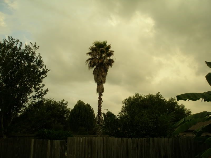
Speaking of the clouds, this was about 5:30-5:45 looking to the east:


0 likes

Re: INVEST 90L: Gulf of Mexico : Discussions & Images
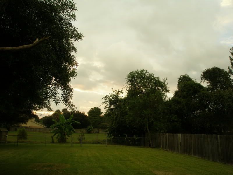
Yeppers. One light feederband....setting at .0.01. The yard is almost flooded. 
Here are a few photos to share
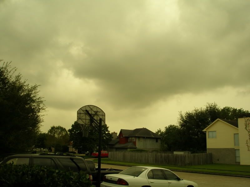
Here are a few photos to share
0 likes
-
Yankeegirl

- Category 5
- Posts: 3417
- Age: 48
- Joined: Sun May 23, 2004 11:59 pm
- Location: Cy-Fair, Northwest Houston
- Contact:
-
TexasSam

- Category 2

- Posts: 573
- Age: 64
- Joined: Thu Aug 28, 2003 12:16 am
- Location: Port Arthur, Texas
Re: INVEST 90L: Gulf of Mexico : Discussions & Images
From looking at the Houston/Galveston radar the so called "center" of this thing might go right over Baytown. I hope we don't have one of them core rain events later tonight, like alison did.
0 likes
-
vbhoutex

- Storm2k Executive
- Posts: 28974
- Age: 72
- Joined: Wed Oct 09, 2002 11:31 pm
- Location: Spring Branch area, Houston, TX
- Contact:
Re: INVEST 90L: Gulf of Mexico : Discussions & Images
TexasSam wrote:From looking at the Houston/Galveston radar the so called "center" of this thing might go right over Baytown. I hope we don't have one of them core rain events later tonight, like alison did.
Way too much dry air surrounding this system for that to happen fortunately.
0 likes
-
Extremeweatherguy
- Category 5
- Posts: 11095
- Joined: Mon Oct 10, 2005 8:13 pm
- Location: Houston, TX
we should all feel very lucky that this never strengthened during all those days it was over the GOM. The LLC is currently taking one of the worst case scenario paths for Harris county and if it would have been a strong TS or a hurricane, then it would have been bad news! Thank God though this was only a weak low!
0 likes
-
Terry
- S2K Supporter

- Posts: 1450
- Joined: Wed Aug 11, 2004 8:25 pm
- Location: Lakeland and Anna Maria Island, FL
- Contact:
Re: INVEST 90L: Gulf of Mexico : Discussions & Images
You just have to love those feederbands............as long as they don't do harm.
0 likes
-
southerngale

- Retired Staff

- Posts: 27420
- Joined: Thu Oct 10, 2002 1:27 am
- Location: Southeast Texas (Beaumont area)

-
americanrebel

- Category 1

- Posts: 399
- Age: 47
- Joined: Tue Sep 18, 2007 3:42 pm
- Location: Intracoastal City, La.

-
americanrebel
- Category 1
- Posts: 399
- Age: 47
- Joined: Tue Sep 18, 2007 3:42 pm
- Location: Intracoastal City, La.

Re:
southerngale wrote:We've had some on and off feederbands since yesterday... no big deal, of course.
Btw, 90L looks better now than it did over water. lol
(which isn't saying a lot)
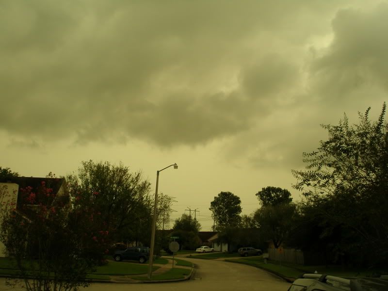
Looks like areas northeast of Houston got rain. I think up to 3 inches fell.
0 likes
Re:
Extremeweatherguy wrote:we should all feel very lucky that this never strengthened during all those days it was over the GOM. The LLC is currently taking one of the worst case scenario paths for Harris county and if it would have been a strong TS or a hurricane, then it would have been bad news! Thank God though this was only a weak low!
Interesting. That was a close call!
0 likes


Who is online
Users browsing this forum: No registered users and 110 guests