ATL: Tropical Depression Fay

Moderator: S2k Moderators
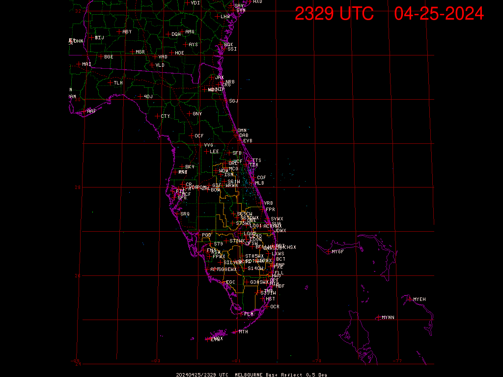
Message
Author
User avatar
CronkPSU
S2K Supporter
S2K Supporter
Posts: 2014
Joined: Sun Aug 07, 2005 10:44 pm
Location: Avalon Park, FL

Re: ATL: Tropical Storm Fay Inside Florida Peninsula

#10961 Postby CronkPSU » Wed Aug 20, 2008 1:39 am

why would you get your weather from the weather channel....sheeh, they haven't been doing real time weather in like 6 years!

looks like at least part of the remaining core is over water

Image
0 likes   

User avatar
cheezyWXguy
Category 5
Category 5
Posts: 6108
Joined: Mon Feb 13, 2006 12:29 am
Location: Dallas, TX

Re: Re:

#10962 Postby cheezyWXguy » Wed Aug 20, 2008 1:39 am

baitism wrote:
Deb321 wrote:ok I'm confused is Fay still inland or not? TWC just said she is still inland. :double:


I think it still is.... http://www.ssd.noaa.gov/goes/flt/t1/loop-avn.html

that image is 2 hours old...its likely almost, if not totally, offshore right now.
0 likes   

User avatar
baitism
Category 1
Category 1
Posts: 266
Joined: Wed Jul 06, 2005 3:00 pm
Location: Overland Park, KS

Re: ATL: Tropical Storm Fay Inside Florida Peninsula

#10963 Postby baitism » Wed Aug 20, 2008 1:43 am

Oops. Forgot about the sat blackout. When will that be over?
0 likes   

User avatar
Deb321
Tropical Storm
Tropical Storm
Posts: 150
Age: 72
Joined: Wed Aug 24, 2005 8:52 pm
Location: Saint Marys Georgia

#10964 Postby Deb321 » Wed Aug 20, 2008 1:43 am

ok thanks . I really don't get my info from TWC just happen to have it on. If I want to know about anything tropical I usually come here, like now. :wink:
0 likes   

tampawx
S2K Supporter
S2K Supporter
Posts: 38
Age: 56
Joined: Wed Sep 24, 2003 9:51 pm
Location: Tampa Bay, FL

#10965 Postby tampawx » Wed Aug 20, 2008 1:44 am

Appears the center is straddling the coast just east-southeast of KMLB radar site.
0 likes   

fasterdisaster
Category 5
Category 5
Posts: 1868
Joined: Mon Sep 19, 2005 4:41 pm
Location: Miami, Florida

Re: Re:

#10966 Postby fasterdisaster » Wed Aug 20, 2008 1:46 am

cheezyWXguy wrote:
baitism wrote:
Deb321 wrote:ok I'm confused is Fay still inland or not? TWC just said she is still inland. :double:


I think it still is.... http://www.ssd.noaa.gov/goes/flt/t1/loop-avn.html

that image is 2 hours old...its likely almost, if not totally, offshore right now.


Not true.

http://www.wunderground.com/radar/radblast.asp?zoommode=zoom&num=6&delay=15&rbscale=0.20869565217391303&scale=1.000&noclutter=0&ID=MLB&type=N0R&lat=0&lon=0&label=you&showstorms=0&map.x=410&map.y=232&centerx=400&centery=240&lightning=0&smooth=0&showlabels=1&rainsnow=0
0 likes   

User avatar
CronkPSU
S2K Supporter
S2K Supporter
Posts: 2014
Joined: Sun Aug 07, 2005 10:44 pm
Location: Avalon Park, FL

Re: ATL: Tropical Storm Fay Inside Florida Peninsula

#10967 Postby CronkPSU » Wed Aug 20, 2008 1:47 am

close up

Image
0 likes   

User avatar
Sean in New Orleans
Category 5
Category 5
Posts: 1794
Joined: Thu Aug 28, 2003 7:26 pm
Location: New Orleans, LA 30.0N 90.0W
Contact:

#10968 Postby Sean in New Orleans » Wed Aug 20, 2008 1:48 am

It appears to me to be hugging the Coast and moving N very slowly. We'll know later today if we are seeing a turn, but, it is W of the forecast track as of now. We may see the system hug the panhandle of Florida as opposed to S. Alabama. Watching movement, I'm having a hard time envisioning this system within the boundaries of the State of GA and maybe even not entering AL until it hits the W tip of the Florida panhandle. I've been concerned for two days that the slow forward motion would result in a Western turn farther South than what the NHC has been forecasting.....
0 likes   

Matt-hurricanewatcher

Re:

#10969 Postby Matt-hurricanewatcher » Wed Aug 20, 2008 1:54 am

Sean in New Orleans wrote:It appears to me to be hugging the Coast and moving N very slowly. We'll know later today if we are seeing a turn, but, it is W of the forecast track as of now. We may see the system hug the panhandle of Florida as opposed to S. Alabama. Watching movement, I'm having a hard time envisioning this system within the boundaries of the State of GA and maybe even not entering AL until it hits the W tip of the Florida panhandle. I've been concerned for two days that the slow forward motion would result in a Western turn farther South than what the NHC has been forecasting.....


Yeah it is west/north of the nhc track. In which case it is moving slightly faster then was expected by many models. I believe if it don't slow down within the next 6-8 hours it won't ever have a chance to make it into the gulf. I think Northern Florida/GA like the nhc say is where this is going...Then inland around there track.

This would have to be one bad area of high pressure to push this into the gulf.
0 likes   

fasterdisaster
Category 5
Category 5
Posts: 1868
Joined: Mon Sep 19, 2005 4:41 pm
Location: Miami, Florida

Re: Re:

#10970 Postby fasterdisaster » Wed Aug 20, 2008 1:55 am

Matt-hurricanewatcher wrote:
Sean in New Orleans wrote:It appears to me to be hugging the Coast and moving N very slowly. We'll know later today if we are seeing a turn, but, it is W of the forecast track as of now. We may see the system hug the panhandle of Florida as opposed to S. Alabama. Watching movement, I'm having a hard time envisioning this system within the boundaries of the State of GA and maybe even not entering AL until it hits the W tip of the Florida panhandle. I've been concerned for two days that the slow forward motion would result in a Western turn farther South than what the NHC has been forecasting.....


Yeah it is west/north of the nhc track. In which case it is moving slightly faster then was expected by many models. I believe if it don't slow down within the next 6-8 hours it won't ever have a chance to make it into the gulf. I think Northern Florida/GA like the nhc say is where this is going...Then inland around there track.

This would have to be one bad area of high pressure to push this into the gulf.


What? The fact that it's making the turn sooner means it will get into the Gulf further south.
0 likes   


fasterdisaster
Category 5
Category 5
Posts: 1868
Joined: Mon Sep 19, 2005 4:41 pm
Location: Miami, Florida

Re: Re:

#10972 Postby fasterdisaster » Wed Aug 20, 2008 2:00 am


I wasn't trying to sound rude, it's just there are only so many ways to politely correct someone. Sorry if you thought I sounded rude. :oops:
0 likes   

User avatar
cheezyWXguy
Category 5
Category 5
Posts: 6108
Joined: Mon Feb 13, 2006 12:29 am
Location: Dallas, TX

Re: Re:

#10973 Postby cheezyWXguy » Wed Aug 20, 2008 2:03 am

fasterdisaster wrote:


I wasn't trying to sound rude, it's just there are only so many ways to politely correct someone. Sorry if you thought I sounded rude. :oops:

haha no big deal. Very hard to tell mood and tone over the internet and this happens a lot.
0 likes   

Nexus
Tropical Storm
Tropical Storm
Posts: 137
Joined: Sat Sep 11, 2004 12:13 am

#10974 Postby Nexus » Wed Aug 20, 2008 2:10 am

Sat out of the eclipse:

Image
0 likes   

fasterdisaster
Category 5
Category 5
Posts: 1868
Joined: Mon Sep 19, 2005 4:41 pm
Location: Miami, Florida

#10975 Postby fasterdisaster » Wed Aug 20, 2008 2:11 am

Interesting! Maybe her center is farther inland than radar indicates.
0 likes   

User avatar
cheezyWXguy
Category 5
Category 5
Posts: 6108
Joined: Mon Feb 13, 2006 12:29 am
Location: Dallas, TX

Re:

#10976 Postby cheezyWXguy » Wed Aug 20, 2008 2:11 am

Nexus wrote:Sat out of the eclipse:

Image

the image still says 415 on my computer...new image is labelled either 615 or 645
0 likes   

Clipper96

#10977 Postby Clipper96 » Wed Aug 20, 2008 2:13 am

You can almost sense that the core would explode if it could get fully offshore.
0 likes   

Nexus
Tropical Storm
Tropical Storm
Posts: 137
Joined: Sat Sep 11, 2004 12:13 am

#10978 Postby Nexus » Wed Aug 20, 2008 2:14 am

May have to refresh your page, Rainbow image:

Image
Last edited by Nexus on Wed Aug 20, 2008 2:18 am, edited 2 times in total.
0 likes   

fasterdisaster
Category 5
Category 5
Posts: 1868
Joined: Mon Sep 19, 2005 4:41 pm
Location: Miami, Florida

#10979 Postby fasterdisaster » Wed Aug 20, 2008 2:15 am

Oh well guess the timestamp explains it. In that case though that does help some because it means she ISN'T moving due north and in fact does have some east component.
0 likes   

User avatar
baitism
Category 1
Category 1
Posts: 266
Joined: Wed Jul 06, 2005 3:00 pm
Location: Overland Park, KS

Re: ATL: Tropical Storm Fay Inside Florida Peninsula

#10980 Postby baitism » Wed Aug 20, 2008 2:19 am

Someone explain to me why the satellite IR images should the area to the south and southeast of the center almost devoid of convection, but the land based radar sites show storms building pretty quickly...

Motion looks NNW to me
0 likes   


Return to “2008”

Who is online

Users browsing this forum: No registered users and 21 guests