


Moderator: S2k Moderators
Extremeweatherguy wrote:Keep in mind that Hurricane David (1979) hit Hispanola head on and then still managed to impact Florida a few days later as a Category 2 Hurricane...MiamiensisWx wrote:rjgator wrote:Seems to be a lot of squabling over the landfall location of a low on a tropical wave that is still East of 40 degrees longitude. Board seems fisty this year. I guess it is just all the bottled up energy to have something to watch.
Lets spend our energy on anaylizing the storms and trying to get our opinions (and that is all they are) out there and not squabling about the 10 day tracks of tropical waves.....
...and all of the FL speculation could be frivolous if it impacts Hispaniola.
http://en.wikipedia.org/wiki/Image:David_1979_track.png
The idea that Hispanola instantly kills all storms is not always true.


HURAKAN wrote:RL3AO wrote:If I remember correctly, recon can get out to 50W if they take off from Barbados?
Yes. An the unmanned flying vehicles can go even farther.
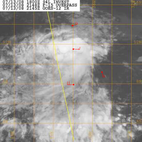
Blown_away wrote:94L looks so good rate now, I think the NHC could upgrade this to a TD tonight. I know they won't since it is in the central Atlantic and they have time, but it looks real good. Better than half of those sheared TD/TS's we watched last season.


jusjas wrote:Hi all,
I live in Trinidad - the most southerly isle of the Caribbean. Can I ask someone a question please? What is the chance of invest 94 hitting Trinidad? Thanks
Regards
jusjas
RL3AO wrote:Blown_away wrote:94L looks so good rate now, I think the NHC could upgrade this to a TD tonight. I know they won't since it is in the central Atlantic and they have time, but it looks real good. Better than half of those sheared TD/TS's we watched last season.
Do you have proof that there is a closed low level circualation? If you (and the NHC) don't, then no upgrade.
Matt-hurricanewatcher wrote:
I would say there is a developing LLC near 10/38. For one we have two buoys within the area, that shown a west and east and southeast wind. So it is pretty close. Once it develops a LLC, I would say its a depression.
Users browsing this forum: No registered users and 76 guests


