robbielyn wrote:johngaltfla wrote:robbielyn wrote:Ok seems to me with a small hurricane wind field it looks like again tampa will dodge a bullet. the shield remains in place. it will barely be a cat 1 if that. like i said just an inconvenient storm for my area. sorry sanibel a little more serious for you down there.
IF you are wrong and it does ride the ridge up the coastline your neck of the woods will get the worse. Keep in mind the storm had been predicted at many points to head up towards the Big Bend area. I would review my plans at a minimum.
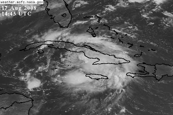
Well i live 10 miles east from the coast of hernando beach. I rent a room from my landlady who guess what has no plywood or storm shutters. But that is ok. I will be called to hang out at the hospital where i work if a hurricane comes. if its a ts then i can just work my regular shift. I know things can change on a dime but this is too predictable and goes against the odds of the riding straight up the coast. There is a reason the models are shifting east which is more typical. So I am minimally prepared but I am far from feeling like this is going to be a big deal for my area. After it crosses cuba then I will let you all know if my gut feeling is accurate or deceiving me.
Many models are shifting west. Only the NHC track for some reason is shifting east