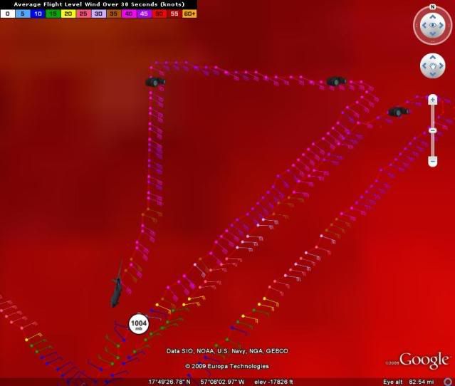
ronjon wrote:Wow, that HWRF track and intensity is starting to look like 1992 all over.
Lets hope not................
TG
Moderator: S2k Moderators


ronjon wrote:Wow, that HWRF track and intensity is starting to look like 1992 all over.


Tropics Guy wrote:ronjon wrote:Wow, that HWRF track and intensity is starting to look like 1992 all over.
Lets hope not................
TG
deltadog03 wrote:Hurakan, great work as always!! Can we use the NASA interactive site or no?
ronjon wrote:Aric Dunn wrote:Evil Jeremy wrote:Will be interesting to see if the rest of the models also turn more west. We shall know soon.
I imagine they will .. they all seem to follow each other pretty closely.. with the gfs bringing to florida and the bam models way west along with the NAM .. we should see things shif.
but its mostly because it has not moved much today and the timing has now changed so the trough is being able to move out before Erika get near the bahamas
Also, I think the key will be how strong high pressure nosing south from New England gets to be and how progressive it is. I tried searching for the synoptics for Andrew earlier today on the web but couldn't find it. It was a similar setup with a trough lifting out and high pressure building from the north. I'm sure with Andrew the high pressure was much stronger though then this high.

Users browsing this forum: No registered users and 121 guests