

Interesting to see how the HWRF and GFDL disagree.
Moderator: S2k Moderators


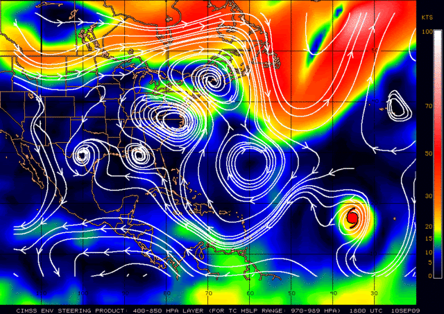
cycloneye wrote:The big question is what will be left of Fred as the consensus of the models is after going north,then turns west.

wxman57 wrote:cycloneye wrote:The big question is what will be left of Fred as the consensus of the models is after going north,then turns west.
Remnant swirl of clouds like the wave ahead of it? It's NOT heading for the Caribbean or the U.S.


cinlfla wrote:What is "ACE"?
tia
expat2carib wrote:Wow....wow... ozonpete. You sound like a ninja warrior. I appreciate your opinions a lot. It looks like there is a lot of testosterone involved though'
Keep on going strong! I'm not sarcasticYou will be a great forecaster one day. Take care of those hormones though. Things not always go that strong.
Regards
Users browsing this forum: No registered users and 32 guests


