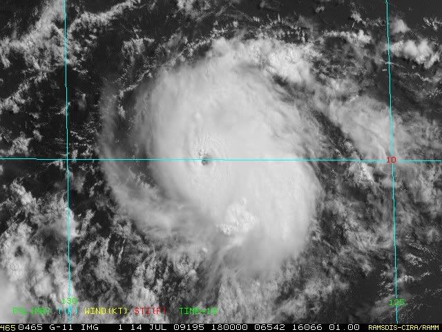
KWT wrote:It hasn't got the large eye but it does have some features doesnt it!
I know it's not "a" but it has some features for people to usually refer to it as "a."
Moderator: S2k Moderators
HURAKAN wrote:KWT wrote:It hasn't got the large eye but it does have some features doesnt it!
I know it's not "a" but it has some features for people to usually refer to it as "a."
CrazyC83 wrote:Just by a visual look, I'd bump it up to 90-95 kt for the 1800Z best track point. My guess for the pressure is 974mb, since smaller storms tend to have higher pressures than normally expected.


Users browsing this forum: No registered users and 118 guests