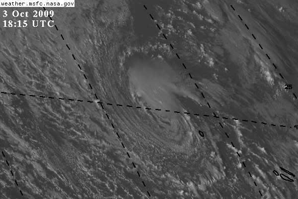
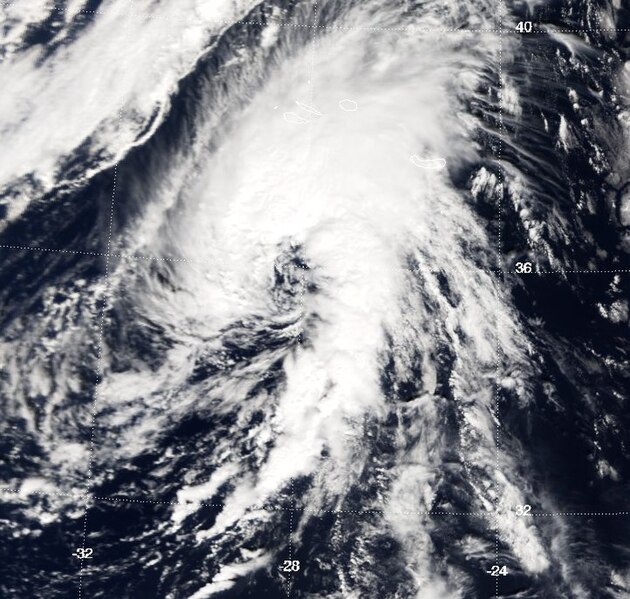
So does the UK Met Office (not shown). Also, unlike a pure tropical system, the wide extent of higher winds north of the center is not typical of a tropical system and suggests much of this comes from the gradient between it and a 1023-mb high to the north. The convection is highly asymmetric and mostly to the north and east of the center
Also, as stated above, any warm core is very shallow, as the 500-mb analysis shows (note that this is a TIF file).
supercane