ATL: Ex Tropical Storm EARL - Discussion
Moderator: S2k Moderators


-
blazess556
- Professional-Met

- Posts: 250
- Joined: Mon Aug 31, 2009 10:51 pm
- Location: Germantown, MD
SHOWERS AND THUNDERSTORMS CONTINUE TO BECOME BETTER ORGANIZED IN
ASSOCIATION WITH AN AREA OF LOW PRESSURE PASSING ABOUT 100 MILES
SOUTH OF THE CAPE VERDE ISLANDS...AND IT APPEARS THAT A TROPICAL
DEPRESSION COULD BE FORMING. IF THIS TREND CONTINUES... ADVISORIES
ON THIS SYSTEM COULD BE INITIATED AS EARLY AS LATER THIS MORNING.
THERE IS A HIGH CHANCE...90 PERCENT...OF THIS SYSTEM BECOMING A
TROPICAL CYCLONE DURING THE NEXT 48 HOURS AS IT MOVES
WEST-NORTHWESTWARD AT NEAR 15 MPH. LOCALLY HEAVY SHOWERS AND
STRONG GUSTY WINDS ARE POSSIBLE OVER PORTIONS OF THE CAPE VERDE
ISLANDS TODAY...AND INTERESTS IN THOSE ISLANDS SHOULD MONITOR THE
PROGRESS OF THIS SYSTEM.
0 likes

Re: ATL : INVEST 96L - Discussion
Boundary-layer and mid-level moisture looks as good as where Danielle was in terms of location.
Yesterday it was a bit challanged, but MIMIC is showing a good developing convergence which will help protect from SAL.
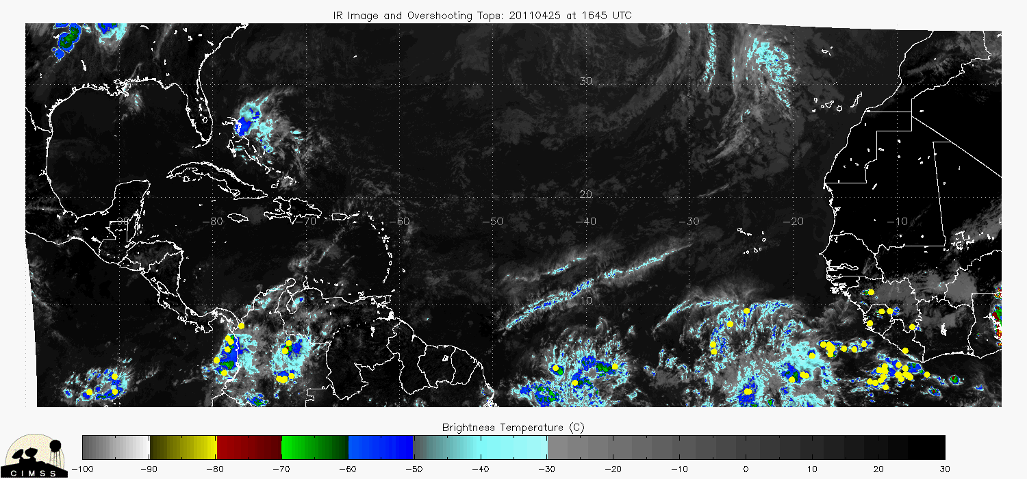
A lot of overshooting tops are helping to warm the core and generate the so called 'pouch."
http://cimss.ssec.wisc.edu/tropic/real- ... t72hrs.gif

Yesterday it was a bit challanged, but MIMIC is showing a good developing convergence which will help protect from SAL.
A lot of overshooting tops are helping to warm the core and generate the so called 'pouch."
http://cimss.ssec.wisc.edu/tropic/real- ... t72hrs.gif
0 likes


Looks like that area near the CV Islands is detached from the ITCZ convection to the south, i reckon this is a goer and probably becomes a storm down the line...
The only uncertainty in the longer term in terms of strength i shearing from Danielle but if I had to make a punt I'd say the chances are reasonable out to 4 days of a hurricane coming from this, I'd be doubtful of anything beyond that though to be honest.
The only uncertainty in the longer term in terms of strength i shearing from Danielle but if I had to make a punt I'd say the chances are reasonable out to 4 days of a hurricane coming from this, I'd be doubtful of anything beyond that though to be honest.
0 likes
Personal Forecast Disclaimer:
The posts in this forum are NOT official forecast and should not be used as such. They are just the opinion of the poster and may or may not be backed by sound meteorological data. They are NOT endorsed by any professional institution or storm2k.org. For official information, please refer to the NHC and NWS products
The posts in this forum are NOT official forecast and should not be used as such. They are just the opinion of the poster and may or may not be backed by sound meteorological data. They are NOT endorsed by any professional institution or storm2k.org. For official information, please refer to the NHC and NWS products
12Z best track update from ATCF still shows it as a low, but I think the TWO suggests an upgrade:
AL, 96, 2010082412, , BEST, 0, 135N, 230W, 25, 1008, LO, 34, NEQ, 0, 0, 0, 0, 1011, 125, 40, 0, 0, L, 0, , 0, 0, INVEST, M,
AL, 96, 2010082406, , BEST, 0, 128N, 209W, 25, 1008, DB, 0, , 0, 0, 0, 0, 1009, 125, 40, 0, 0, L, 0, , 0, 0, INVEST, M,
AL, 96, 2010082412, , BEST, 0, 135N, 230W, 25, 1008, LO, 34, NEQ, 0, 0, 0, 0, 1011, 125, 40, 0, 0, L, 0, , 0, 0, INVEST, M,
AL, 96, 2010082406, , BEST, 0, 128N, 209W, 25, 1008, DB, 0, , 0, 0, 0, 0, 1009, 125, 40, 0, 0, L, 0, , 0, 0, INVEST, M,
0 likes


-
wxman57

- Moderator-Pro Met

- Posts: 23174
- Age: 68
- Joined: Sat Jun 21, 2003 8:06 pm
- Location: Houston, TX (southwest)
Re:
supercane wrote:12Z best track update from ATCF still shows it as a low, but I think the TWO suggests an upgrade:
AL, 96, 2010082412, , BEST, 0, 135N, 230W, 25, 1008, LO, 34, NEQ, 0, 0, 0, 0, 1011, 125, 40, 0, 0, L, 0, , 0, 0, INVEST, M,
AL, 96, 2010082406, , BEST, 0, 128N, 209W, 25, 1008, DB, 0, , 0, 0, 0, 0, 1009, 125, 40, 0, 0, L, 0, , 0, 0, INVEST, M,
Question for one of you who knows more about these messages than I - what is that final letter in the line supposed to represent? They're both "M" here, but I see "S" and "D" on Danielle's file. They don't seem to correspond to any particular storm classification.
0 likes
Very interesting supercane, that may well be why the NHC have held back on upgrading it then I suppose!
0 likes
Personal Forecast Disclaimer:
The posts in this forum are NOT official forecast and should not be used as such. They are just the opinion of the poster and may or may not be backed by sound meteorological data. They are NOT endorsed by any professional institution or storm2k.org. For official information, please refer to the NHC and NWS products
The posts in this forum are NOT official forecast and should not be used as such. They are just the opinion of the poster and may or may not be backed by sound meteorological data. They are NOT endorsed by any professional institution or storm2k.org. For official information, please refer to the NHC and NWS products
-
senorpepr

- Military Met/Moderator

- Posts: 12542
- Age: 43
- Joined: Fri Aug 22, 2003 9:22 pm
- Location: Mackenbach, Germany
- Contact:
Re: Re:
wxman57 wrote:supercane wrote:12Z best track update from ATCF still shows it as a low, but I think the TWO suggests an upgrade:
AL, 96, 2010082412, , BEST, 0, 135N, 230W, 25, 1008, LO, 34, NEQ, 0, 0, 0, 0, 1011, 125, 40, 0, 0, L, 0, , 0, 0, INVEST, M,
AL, 96, 2010082406, , BEST, 0, 128N, 209W, 25, 1008, DB, 0, , 0, 0, 0, 0, 1009, 125, 40, 0, 0, L, 0, , 0, 0, INVEST, M,
Question for one of you who knows more about these messages than I - what is that final letter in the line supposed to represent? They're both "M" here, but I see "S" and "D" on Danielle's file. They don't seem to correspond to any particular storm classification.
DEPTH - system depth, D-deep, M-medium, S-shallow, X-unknown
http://www.nrlmry.navy.mil/atcf_web/doc ... rdeck.html
0 likes
-
ColinDelia

- S2K Supporter

- Posts: 918
- Joined: Mon Aug 29, 2005 5:52 am
- Location: The Beach, FL
-
cycloneye

- Admin

- Posts: 149470
- Age: 69
- Joined: Thu Oct 10, 2002 10:54 am
- Location: San Juan, Puerto Rico
Re: ATL : INVEST 96L - Discussion
Aparently after the ASCAT pass, they decided to hold up on upgrading for now.
0 likes
Visit the Caribbean-Central America Weather Thread where you can find at first post web cams,radars
and observations from Caribbean basin members Click Here
and observations from Caribbean basin members Click Here

Re: ATL : INVEST 96L - Discussion
cycloneye wrote:Aparently after the ASCAT pass, they decided to hold up on upgrading for now.
Yeah I think if I was in the NHC position I'd quite probably do the same thing as well to be honest!
0 likes
Personal Forecast Disclaimer:
The posts in this forum are NOT official forecast and should not be used as such. They are just the opinion of the poster and may or may not be backed by sound meteorological data. They are NOT endorsed by any professional institution or storm2k.org. For official information, please refer to the NHC and NWS products
The posts in this forum are NOT official forecast and should not be used as such. They are just the opinion of the poster and may or may not be backed by sound meteorological data. They are NOT endorsed by any professional institution or storm2k.org. For official information, please refer to the NHC and NWS products
-
wxman57
- Moderator-Pro Met
- Posts: 23174
- Age: 68
- Joined: Sat Jun 21, 2003 8:06 pm
- Location: Houston, TX (southwest)
Re: ATL : INVEST 96L - Discussion
Just as with Danielle at first, there are two competing circulations. One north by the Cape Verde Islands, one well to the south. Until the two come together it'll be hard for 96L to organize. Will probably take another 12-24 hrs.
0 likes
-
Blown Away

- S2K Supporter
- Posts: 10253
- Joined: Wed May 26, 2004 6:17 am
Re: ATL : INVEST 96L - Discussion
wxman57 wrote:Just as with Danielle at first, there are two competing circulations. One north by the Cape Verde Islands, one well to the south. Until the two come together it'll be hard for 96L to organize. Will probably take another 12-24 hrs.
Wxman57 is 96L a likely fish/recurve? What's your take on the track and the probability it could make it far enough west to affect land?
0 likes
Hurricane Eye Experience: David 79, Irene 99, Frances 04, Jeanne 04, Wilma 05… Hurricane Brush Experience: Andrew 92, Erin 95, Floyd 99, Matthew 16, Irma 17, Ian 22, Nicole 22…
-
wxman57
- Moderator-Pro Met
- Posts: 23174
- Age: 68
- Joined: Sat Jun 21, 2003 8:06 pm
- Location: Houston, TX (southwest)
Re: ATL : INVEST 96L - Discussion
Blown Away wrote:wxman57 wrote:Just as with Danielle at first, there are two competing circulations. One north by the Cape Verde Islands, one well to the south. Until the two come together it'll be hard for 96L to organize. Will probably take another 12-24 hrs.
Wxman57 is 96L a likely fish/recurve? What's your take on the track and the probability it could make it far enough west to affect land?
Could take a track a little south of Danielle, but I don't see anything yet to indicate a definite Caribbean threat or a U.S. threat. We'll have to wait a few days to see how it comes together to be more confident.
0 likes
Who is online
Users browsing this forum: No registered users and 30 guests