12Z Best Track
AL, 96, 2010070512, , BEST, 0, 211N, 857W, 25, 1009
ATL: TROPICAL DEPRESSION TWO - DISCUSSION
Moderator: S2k Moderators
Re: ATL: INVEST 96L - DISCUSSION
0 likes

Re: ATL: INVEST 96L - DISCUSSION
tolakram wrote:I like to follow MIMIC-TPW, and it appears to put the spin near the Gulf.
Uploaded with ImageShack.us
Somewhere near this convection I assume.
Loop: http://wwwghcc.msfc.nasa.gov/cgi-bin/ge ... umframes=5


Yeah, just looking at the Visible loop this morning the trough is in the Yucatan pass and southerly winds in the NW Caribbean
0 likes
The following post is NOT an official forecast and should not be used as such. It is just the opinion of the poster and may or may not be backed by sound meteorological data. It is NOT endorsed by any professional institution including storm2k.org For Official Information please refer to the NHC and NWS products.
-
cycloneye

- Admin

- Posts: 149507
- Age: 69
- Joined: Thu Oct 10, 2002 10:54 am
- Location: San Juan, Puerto Rico
Re: ATL: INVEST 96L - DISCUSSION
clfenwi wrote:12Z Best Track
AL, 96, 2010070512, , BEST, 0, 211N, 857W, 25, 1009
That is a big relocation from the last position at 06z 17.3N-83.3W.
0 likes
Visit the Caribbean-Central America Weather Thread where you can find at first post web cams,radars
and observations from Caribbean basin members Click Here
and observations from Caribbean basin members Click Here
-
redfish1
- Tropical Storm

- Posts: 125
- Age: 45
- Joined: Thu Jun 17, 2010 9:24 pm
- Location: Port Arthur, Tx
Re: ATL: INVEST 96L - DISCUSSION
cycloneye wrote:clfenwi wrote:12Z Best Track
AL, 96, 2010070512, , BEST, 0, 211N, 857W, 25, 1009
That is a big relocation from the last position at 06z 17.3N-83.3W.
if thats the case would it have a better chance of going more north since it is getting closer to 95L?
l
0 likes
-
mvtrucking

- S2K Supporter

- Posts: 698
- Age: 67
- Joined: Sat Jul 09, 2005 10:01 am
- Location: Monroe,La
Re: ATL: INVEST 96L - DISCUSSION
redfish1 wrote:
if thats the case would it have a better chance of going more north since it is getting closer to 95L?
No way of knowing right now, just have to watch & wait to see what happens with this wave.
0 likes
-
Fego

- S2K Supporter
- Posts: 767
- Age: 66
- Joined: Sun Apr 18, 2004 7:58 pm
- Location: San Juan, Puerto Rico
- Contact:
Re: ATL: INVEST 96L - DISCUSSION
mvtrucking wrote:redfish1 wrote:
if thats the case would it have a better chance of going more north since it is getting closer to 95L?
No way of knowing right now, just have to watch & wait to see what happens with this wave.
Talking about getting closer or not to 95L, here is an extract from todays marine weather discussion.
THE TROPICAL WAVE IN THE WESTERN CARIBBEAN IS EXPECTED TO PASS
THROUGH THE YUCATAN CHANNEL TODAY. MUCH OF THE GLOBAL GUIDANCE
ALLOWS THE MID LEVEL ENERGY ON THE NORTHERN EDGE OF THIS WAVE TO
BE LURED NORTHWARD INTO THE WEAK TROUGHING ASSOCIATED WITH THE
LOW LINGERING IN THE N CENTRAL GULF. THE OPERATIONAL GFS HAS
BEEN MORE CONSISTENT WITH THIS SOLUTION THAN ECMWF. THE 00Z
ECMWF HAS NOW TRENDED TOWARD THE GFS...ABANDONING ITS MORE
CLOSED OFF SOLUTION FROM 1200 UTC THAT CARRIED A STRENGTHENING
LOW CENTER NW ACROSS THE WESTERN GULF...WELL SEPARATED FROM THE
TROUGHING ASSOCIATED WITH THE LOW CURRENTLY IN THE N CENTRAL
GULF. NOW THAT THERE IS MORE AGREEMENT AMONG THE GUIDANCE ON
ALLOWING THE TROUGHING TO THE N TO INFLUENCE THE TIMING OF AND
STRENGTH OF THE SYSTEM...CONFIDENCE HAS BECOME HIGHER IN A TRACK
THAT IS SLIGHTLY MORE TO THE E THAN PREVIOUSLY FORECAST. THIS
SOLUTION ALSO SUGGESTS A MORE ELONGATED LOW LEVEL CIRCULATION
TRACKING NORTH-NORTHWESTWARD FROM THE YUCATAN CHANNEL.
HOWEVER...THE PRES GRADIENT ON THE E SIDE OF THE SYSTEM BETWEEN
IT AND RIDGING OVER THE NE GULF WILL ALLOW FOR SOUTHERLY WINDS
TO BUILD TO THE 25-30 KT RANGE IN THE CENTRAL GULF. THE GFS
PARALLEL AND ECMWF ARE CONSIDERABLY SLOWER THAN THE OPERATIONAL
GFS AND THE UKMET TO CARRY THE SYSTEM NORTHWARD. THE GFS AND
UKMET MAY BE GIVING MUCH MORE CREDIT TO THE TROUGHING CURRENTLY
IN THE CENTRAL GULF THAN IT WARRANTS...SO THE SLOWER SOLUTIONS
SEEM MORE REASONABLE. THE PMDHMD FROM HPC PREFERS THE SLOWER
SOLUTIONS. THEY RECOMMENDED THE 00Z ECMWF AND GFS ENSEMBLE MEAN
SOLUTIONS WHICH SEEMS REASONABLE.
0 likes
Go Giants! Go Niners! Go Warriors!

They've moved the center towards the northern convective region, if that is where the system develops then a landfall in Texas/LA is odds on, but to be honest I don't think we will get anything too potent from this if it does decide to develop, I'm thinking between 45-50kts at the moment.
edit---in fact they've gone way north of even that convective region, there is clearly southerly winds in the Yucatan channel but if thats where they think the center is, its going to have a tough time developing at all because it really is well shunted away from any convection right now...looks like an MLC is present with the convection at the moment as well.
edit---in fact they've gone way north of even that convective region, there is clearly southerly winds in the Yucatan channel but if thats where they think the center is, its going to have a tough time developing at all because it really is well shunted away from any convection right now...looks like an MLC is present with the convection at the moment as well.
0 likes
Personal Forecast Disclaimer:
The posts in this forum are NOT official forecast and should not be used as such. They are just the opinion of the poster and may or may not be backed by sound meteorological data. They are NOT endorsed by any professional institution or storm2k.org. For official information, please refer to the NHC and NWS products
The posts in this forum are NOT official forecast and should not be used as such. They are just the opinion of the poster and may or may not be backed by sound meteorological data. They are NOT endorsed by any professional institution or storm2k.org. For official information, please refer to the NHC and NWS products
-
johngaltfla

- Category 5

- Posts: 2073
- Joined: Sun Jul 10, 2005 9:17 pm
- Location: Sarasota County, FL
- Contact:
Re: ATL: INVEST 96L - DISCUSSION
redfish1 wrote:does anyone think 96L will get its act together today?
I wish we knew. Recon will tell everyone a lot about it, but right now it looks like a mess. After more data is received the pros here will weigh in with some excellent analysis as they did during Alex.
0 likes
Re: ATL: INVEST 96L - DISCUSSION
If it heads north it will head into the same dry air issues 95L is dealing with.
We'll see if 96L gets it together like Alex did despite its disorganization.
We'll see if 96L gets it together like Alex did despite its disorganization.
0 likes
-
redfish1
- Tropical Storm
- Posts: 125
- Age: 45
- Joined: Thu Jun 17, 2010 9:24 pm
- Location: Port Arthur, Tx
Re: ATL: INVEST 96L - DISCUSSION
what kind of environment is 96L in right now is it conducive for further development?
0 likes
Re: ATL: INVEST 96L - DISCUSSION
redfish1 wrote:does anyone think 96L will get its act together today?
Well its taken a step backwards today it seems so its unlikely we will see it develop today. I still think it'll probably develop but its not quite so likely as it was this time yesterday though...
0 likes
Personal Forecast Disclaimer:
The posts in this forum are NOT official forecast and should not be used as such. They are just the opinion of the poster and may or may not be backed by sound meteorological data. They are NOT endorsed by any professional institution or storm2k.org. For official information, please refer to the NHC and NWS products
The posts in this forum are NOT official forecast and should not be used as such. They are just the opinion of the poster and may or may not be backed by sound meteorological data. They are NOT endorsed by any professional institution or storm2k.org. For official information, please refer to the NHC and NWS products
Re: ATL: INVEST 96L - DISCUSSION
I think we could be seeing a little too close to Alex syndrome.
What I don't understand is if the overhead is good why the convection is so discomblobulated?
What I don't understand is if the overhead is good why the convection is so discomblobulated?
0 likes
I'm not sure Sanibel because I've not had a good look at the uppers today but usually if it looks like something is stopping the convection from getting going, then there must be something aloft that is preventing it from developing.
0 likes
Personal Forecast Disclaimer:
The posts in this forum are NOT official forecast and should not be used as such. They are just the opinion of the poster and may or may not be backed by sound meteorological data. They are NOT endorsed by any professional institution or storm2k.org. For official information, please refer to the NHC and NWS products
The posts in this forum are NOT official forecast and should not be used as such. They are just the opinion of the poster and may or may not be backed by sound meteorological data. They are NOT endorsed by any professional institution or storm2k.org. For official information, please refer to the NHC and NWS products

Re: ATL: INVEST 96L - DISCUSSION
the voricity is up around the the Yucatan channel while the convection is still to the south...not sure what to make of it. Looked like a go yesterday.....
thanks Hurak...I was looking for that map....why would the BAMMS initialize so far north is what I dont understand....
thanks Hurak...I was looking for that map....why would the BAMMS initialize so far north is what I dont understand....
Last edited by ROCK on Mon Jul 05, 2010 10:07 am, edited 1 time in total.
0 likes


-
redfish1
- Tropical Storm
- Posts: 125
- Age: 45
- Joined: Thu Jun 17, 2010 9:24 pm
- Location: Port Arthur, Tx
Re: ATL: INVEST 96L - DISCUSSION
may just be a matter of time before convection starts wrapping around it....just an uneducated guess
0 likes
-
HouTXmetro

- Category 5
- Posts: 3949
- Joined: Sun Jun 13, 2004 6:00 pm
- Location: District of Columbia, USA
Re: ATL: INVEST 96L - DISCUSSION
so happy 96L fell apart last night 
Seems like there is new convection developing where the NHC places the Low.
Seems like there is new convection developing where the NHC places the Low.
0 likes
[Disclaimer: My Amateur Opinion, please defer to your local authorities or the NHC for Guidance.]
-
mvtrucking
- S2K Supporter
- Posts: 698
- Age: 67
- Joined: Sat Jul 09, 2005 10:01 am
- Location: Monroe,La
Re:
HURAKAN wrote:
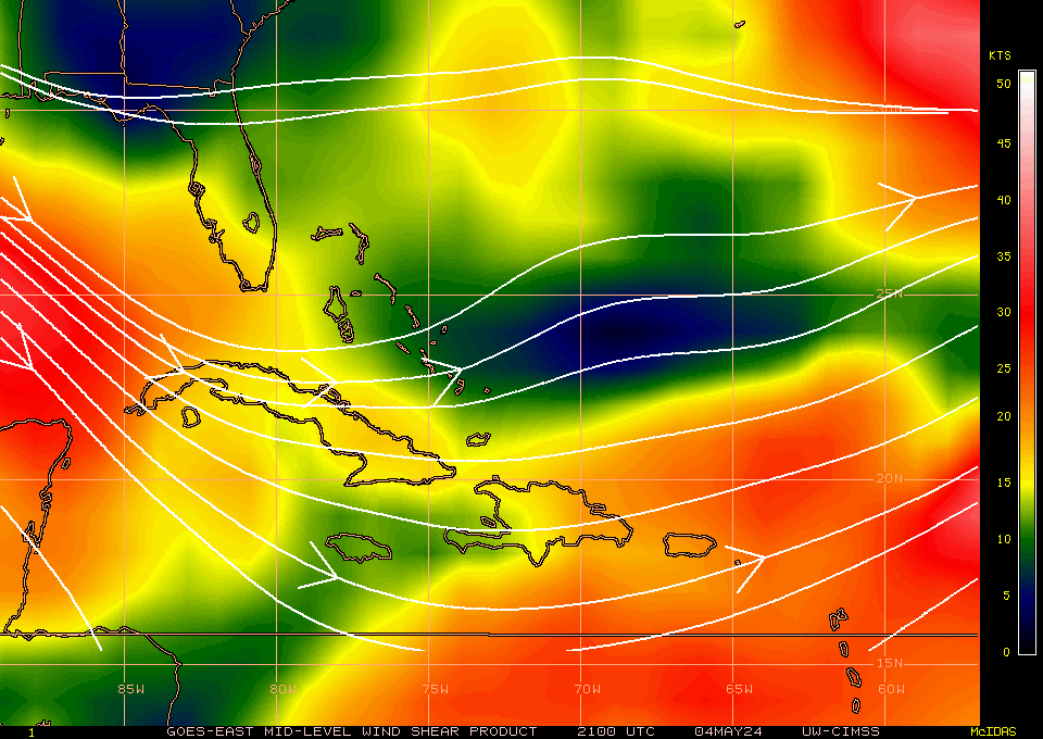
wind shear isn't bad
Hurakan,
Am I reading this right? (About 20 kts NW over 96L )Thanks in advance
Last edited by mvtrucking on Tue Jul 06, 2010 9:17 am, edited 1 time in total.
0 likes
Who is online
Users browsing this forum: No registered users and 35 guests