ATL: KATIA - Post Tropical - Discussion
Moderator: S2k Moderators
-
rainstorm


-
HurricaneWarning92
- Category 2

- Posts: 520
- Joined: Sat Jul 23, 2011 4:33 pm
- Location: Pembroke Pines, S. Florida (Lat: 26.00N, Lon: 80.22W)
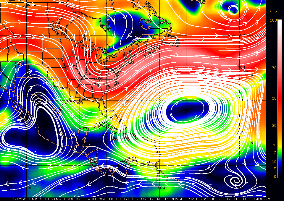
I dont think that westward motion that is taking right now, was really expected... If that high that is currently to the north of it stays a bit stronger than first thought, it may change the track a bit in the long term. JMHO.
0 likes
The posts in this forum are NOT official forecast and should not be used as such. They are just the opinion of the poster and may or may not be backed by sound meteorological data. They are NOT endorsed by any professional institution or storm2k.org. For official information, please refer to the NHC and NWS products.
-
meriland23

- Category 5

- Posts: 1239
- Age: 38
- Joined: Mon Aug 29, 2011 9:29 pm
0 likes
The posts in this forum are NOT official forecast and should not be used as such. They are just the opinion of the poster and may or may not be backed by sound meteorological data. They are NOT endorsed by any professional institution or storm2k.org. For official information, please refer to the NHC and NWS products.
Re:
meriland23 wrote:http://www.nhc.noaa.gov/storm_graphics/AT12/refresh/AL1211W5_NL_sm2+gif/083515W5_NL_sm.gif
you can also see in comparison to 11 pm, the PP has curved slightly to the WSW around 60W..
Is there a way to overlay these path charts to see which way the forecast has changed from one to the other?
0 likes
-
meriland23
- Category 5
- Posts: 1239
- Age: 38
- Joined: Mon Aug 29, 2011 9:29 pm
Re: Re:
GCANE wrote:rainstorm wrote:hopefully katia will hurry up and recurve so something else can form.
Latest NOGAPS shows no recurve and GFS is a suspect late, sharp recurve.
I think a lot of people are going to start getting nervous.
Wouldn't be surprised NHC starts tasking recon.
Curious, is it truely only one of two situations at hand? Either she maintains sort of and curves up northward and lasts longer? or if she heads west, she dissipates. So either way, this is no big deal to the US? COrrect me if I am wrong, this is from what I am gathering.
0 likes
The posts in this forum are NOT official forecast and should not be used as such. They are just the opinion of the poster and may or may not be backed by sound meteorological data. They are NOT endorsed by any professional institution or storm2k.org. For official information, please refer to the NHC and NWS products.

-
meriland23
- Category 5
- Posts: 1239
- Age: 38
- Joined: Mon Aug 29, 2011 9:29 pm
Re: Re:
hipshot wrote:meriland23 wrote:http://www.nhc.noaa.gov/storm_graphics/AT12/refresh/AL1211W5_NL_sm2+gif/083515W5_NL_sm.gif[/img]
you can also see in comparison to 11 pm, the PP has curved slightly to the WSW around 60W..
Is there a way to overlay these path charts to see which way the forecast has changed from one to the other?
That is a good question, I will see what I can do, I have a image back from aug 30 and that one so I can do a little layering here with photoshop.
0 likes
The posts in this forum are NOT official forecast and should not be used as such. They are just the opinion of the poster and may or may not be backed by sound meteorological data. They are NOT endorsed by any professional institution or storm2k.org. For official information, please refer to the NHC and NWS products.
-
wxman57

- Moderator-Pro Met

- Posts: 23173
- Age: 68
- Joined: Sat Jun 21, 2003 8:06 pm
- Location: Houston, TX (southwest)
Re: Re:
hipshot wrote:meriland23 wrote:http://www.nhc.noaa.gov/storm_graphics/AT12/refresh/AL1211W5_NL_sm2+gif/083515W5_NL_sm.gif
you can also see in comparison to 11 pm, the PP has curved slightly to the WSW around 60W..
Is there a way to overlay these path charts to see which way the forecast has changed from one to the other?
Sure, right on the NHC website. It's not an overlay, it's an animated set of track forecasts, but it's easy to see how the forecast has changed from day to day:
http://www.nhc.noaa.gov/archive/2011/gr ... p_5W.shtml
Track has continued to shift farther and farther north of the eastern Caribbean. I still don't see any impact across the NE Caribbean, and I think Katia will recurve close to Bermuda or a bit west of the island. No U.S. landfall from Katia.
0 likes
Re: Re:
wxman57 wrote:hipshot wrote:meriland23 wrote:http://www.nhc.noaa.gov/storm_graphics/AT12/refresh/AL1211W5_NL_sm2+gif/083515W5_NL_sm.gif
you can also see in comparison to 11 pm, the PP has curved slightly to the WSW around 60W..
Is there a way to overlay these path charts to see which way the forecast has changed from one to the other?
Sure, right on the NHC website. It's not an overlay, it's an animated set of track forecasts, but it's easy to see how the forecast has changed from day to day:
http://www.nhc.noaa.gov/archive/2011/gr ... p_5W.shtml
Track has continued to shift farther and farther north of the eastern Caribbean. I still don't see any impact across the NE Caribbean, and I think Katia will recurve close to Bermuda or a bit west of the island. No U.S. landfall from Katia.
Wow, I need to go check that out. Thanks WXman.
0 likes
-
Aric Dunn
- Category 5
- Posts: 21238
- Age: 43
- Joined: Sun Sep 19, 2004 9:58 pm
- Location: Ready for the Chase.
- Contact:
Not surprised to see the straight west motion. was talking about it yesterday that ridging that has built in is quite strong and is building westward.
0 likes
Note: If I make a post that is brief. Please refer back to previous posts for the analysis or reasoning. I do not re-write/qoute what my initial post said each time.
If there is nothing before... then just ask
Space & Atmospheric Physicist, Embry-Riddle Aeronautical University,
I believe the sky is falling...
If there is nothing before... then just ask
Space & Atmospheric Physicist, Embry-Riddle Aeronautical University,
I believe the sky is falling...

those two ulls in front of Katia, especially the one closest to it are moving up and not that powerful. can anyone confirm this visual observation? That and the core mess may have this too close for comfort in a few day, she continues to fly west, hopefully that will make her encounter with those two more likely.
0 likes
-
Gustywind

- Category 5
- Posts: 12334
- Joined: Mon Sep 03, 2007 7:29 am
- Location: Baie-Mahault, GUADELOUPE
Re:
Adoquín wrote:Straight west at what forward speed?
000
WTNT32 KNHC 010835
TCPAT2
BULLETIN
HURRICANE KATIA ADVISORY NUMBER 13
NWS NATIONAL HURRICANE CENTER MIAMI FL AL122011
500 AM AST THU SEP 01 2011
...KATIA CHANGES LITTLE IN STRENGTH DURING THE PAST SEVERAL HOURS...
SUMMARY OF 500 AM AST...0900 UTC...INFORMATION
----------------------------------------------
LOCATION...15.2N 45.9W
ABOUT 1065 MI...1710 KM E OF THE LEEWARD ISLANDS
MAXIMUM SUSTAINED WINDS...75 MPH...120 KM/H
PRESENT MOVEMENT...W OR 280 DEGREES AT 20 MPH...32 KM/H
MINIMUM CENTRAL PRESSURE...987 MB...29.15 INCHES
0 likes
-
Gustywind
- Category 5
- Posts: 12334
- Joined: Mon Sep 03, 2007 7:29 am
- Location: Baie-Mahault, GUADELOUPE
Dr. Rick Knabb, The Weather Channel
Sep 1, 2011 7:12 am ET
- Katia could become a major hurricane this weekend, but still uncertain if it will directly impact any land areas
ATLANTIC BASIN
Hurricane Katia
- No direct threat to land for at least the next few days
- Will probably become a major (Category 3+) hurricane within the next few days
- Will reach the longitude of the Leeward Islands by the end of this weekend; models forecast the center of Katia to pass north of the islands, but they will at least experience large waves and perhaps outer rain bands
- Too soon to determine what other land areas might eventually be directly affected
- Landfall somewhere on the U.S. mainland cannot yet be ruled out
- Katia could be of a strength, size, and track to at least propagate swells to the U.S. East Coast and result in an elevated rip current risk there next week, even if there are never any direct effects
0 likes
-
ouragans

- Category 2
- Posts: 501
- Age: 54
- Joined: Sun Jun 12, 2011 12:09 pm
- Location: Abymes, Guadeloupe F.W.I
- Contact:
Re:
Adoquín wrote:Straight west at what forward speed?
Nope, 280 deg (278 to be accurate)
0 likes
Personal forecast disclaimer
This post is a personal point of view, not an information. Please refer to official statements for life-threatening decisions.
David '79, Frederic '79, Hugo '89, Iris, Luis & Marilyn '95, Georges '98, Lenny '99, Dean '07, Irma '17, Maria '17, Fiona '22, Philippe '23, Tammy '23
16°13'33.3,"6N -61°36'39.5"W
Who is online
Users browsing this forum: No registered users and 52 guests