artist wrote:cycloneye wrote:cycloneye wrote:Hopefully,this mornings mission doesn't have problems.
Well,more problems it seems as plane is returning to St Croix.
do you know what time the next flight is in eastern time cycloneye?
11:45 EDT
Code: Select all
FLIGHT ONE -- TEAL 72
A. 04/1800Z,05/0000Z
B. AFXXX 1105A EMILY
C. 04/1530Z
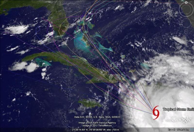
D. 20.0N 74.0W
E. 04/1730Z TO 04/2330Z
F. SFC TO 15,000 FT