mf_dolphin wrote: If you're talking about the HurricaneTrack live feed, they are having some issues but expect to have it back on-line soon.
Thank you!
Moderator: S2k Moderators

mf_dolphin wrote: If you're talking about the HurricaneTrack live feed, they are having some issues but expect to have it back on-line soon.
Code: Select all
Start
Time of Center Fix: 26th day of the month at 11:45:30Z
Center Fix Coordinates: 30°00'N 77°19'W

End
Time of Center Fix: 26th day of the month at 17:06:00Z
Center Fix Coordinates: 31°02'N 77°29'W


xironman wrote:Interesting run by the air force plane, five hours and the center is tiny bit west of the startCode: Select all
Start
Time of Center Fix: 26th day of the month at 11:45:30Z
Center Fix Coordinates: 30°00'N 77°19'W

End
Time of Center Fix: 26th day of the month at 17:06:00Z
Center Fix Coordinates: 31°02'N 77°29'W

deltadog03 wrote:Im sorry....but, until this changes its not gonna start moving NNE (not saying its going west or anything like that, but a NNW to N movement should continue)...Morehead City looks like the place to be for landfall....IMO....
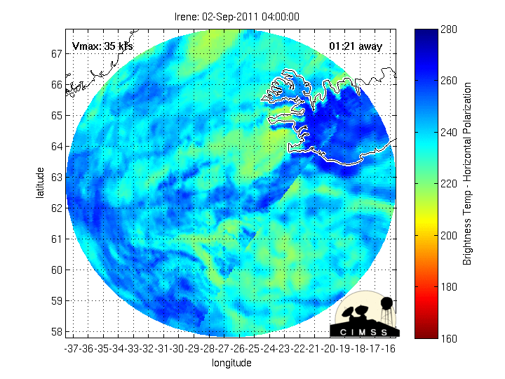
http://tropic.ssec.wisc.edu/real-time/d ... oom=&time=
sorry that is the steering map...**Current**
micktooth wrote:" I wish hurricanes didn't have categories"..Bill Read Director of NHC on TWC.
I couldn't have said it better myself. I hope people don't let their guard down. This is a large and dangerous storm.
The second sentence of the above post is NOT an official forecast and should not be used as such. It is just the opinion of the poster and may or may not be backed by sound meteorological data. It is NOT endorsed by any professional institution including storm2k.org For Official Information please refer to the NHC and NWS products.
Hogweed wrote:CronkPSU wrote:xironman wrote:Interesting run by the air force plane, five hours and the center is tiny bit west of the startCode: Select all
Start
Time of Center Fix: 26th day of the month at 11:45:30Z
Center Fix Coordinates: 30°00'N 77°19'W

End
Time of Center Fix: 26th day of the month at 17:06:00Z
Center Fix Coordinates: 31°02'N 77°29'W
and the turn to NNE is suppose to starting now..
That's not the latest fix


CronkPSU wrote:deltadog03 wrote:Im sorry....but, until this changes its not gonna start moving NNE (not saying its going west or anything like that, but a NNW to N movement should continue)...Morehead City looks like the place to be for landfall....IMO....
http://tropic.ssec.wisc.edu/real-time/d ... oom=&time=
sorry that is the steering map...**Current**
is that a tad east of the NC/SC border?
Users browsing this forum: No registered users and 17 guests


