ROCK wrote:looks like the NAM run from earlier.....
Yes it is Rock
Moderator: S2k Moderators
ROCK wrote:looks like the NAM run from earlier.....


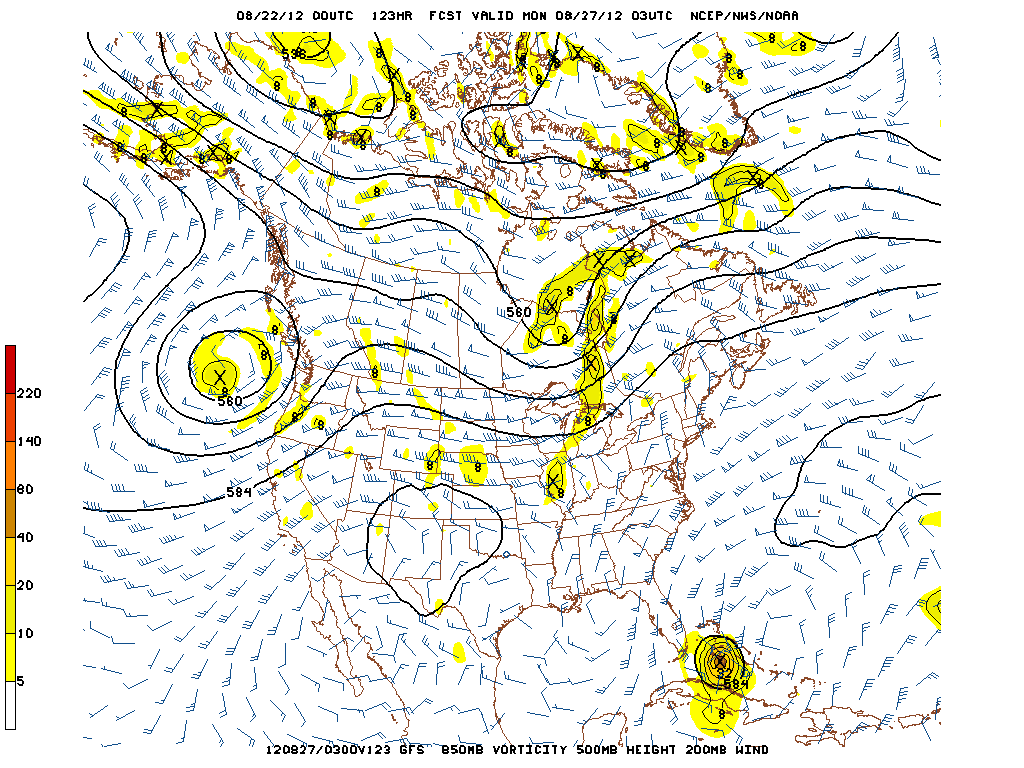
Javlin wrote:Intense Cane half way up Kuba now 120hrs.
Javlin wrote:Intense Cane half way up Kuba now 120hrs.


Users browsing this forum: No registered users and 26 guests


