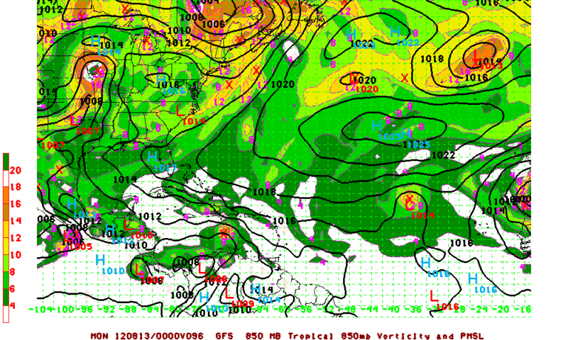
THE CIRCULATION ASSOCIATED WITH A SMALL LOW PRESSURE SYSTEM LOCATED
ABOUT 950 MILES WEST OF THE SOUTHERN CAPE VERDE ISLANDS HAS
CONTINUED TO BECOME BETTER DEFINED OVER THE PAST SEVERAL HOURS.
THUNDERSTORM ACTIVITY IS ORGANIZING AROUND THE SURFACE CENTER...AND
UPPER-LEVEL WINDS ARE EXPECTED TO BE CONDUCIVE FOR THE DEVELOPMENT
OF A TROPICAL DEPRESSION OVER THE NEXT COUPLE OF DAYS. THIS SYSTEM
HAS A HIGH CHANCE...70 PERCENT...OF BECOMING A TROPICAL CYCLONE
DURING THE NEXT 48 HOURS AS IT MOVES WESTWARD AT ABOUT 15 MPH.

Uhhh. Well you get the point.