ftp://goes.gsfc.nasa.gov/pub/goeseast/

Moderator: S2k Moderators


Portastorm wrote:Wxman57, is Bones in the house? Do I hear him being paged over the loudspeaker?

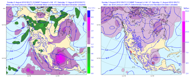
wkwally wrote:I have been looking at the water vapor image from the NHC it it looks like a lot of dry air. Also I could be wrong but do I see a low forming in the Gulf. if so and with the high in the ATL. this could be a game changer.
The posts in this forum are NOT official forecast and should not be used as such. They are just the opinion of the poster and may or may not be backed by sound meteorological data. They are NOT endorsed by any professional institution or storm2k.org. For official information, please refer to the NHC and NWS products.

Sanibel wrote:This could break open and bust. However my guess is once it gets further west the remnant center will spark another burst and everybody will be back on board.
Portastorm wrote:wkwally wrote:I have been looking at the water vapor image from the NHC it it looks like a lot of dry air. Also I could be wrong but do I see a low forming in the Gulf. if so and with the high in the ATL. this could be a game changer.
The posts in this forum are NOT official forecast and should not be used as such. They are just the opinion of the poster and may or may not be backed by sound meteorological data. They are NOT endorsed by any professional institution or storm2k.org. For official information, please refer to the NHC and NWS products.
wkwally ... I believe what you may be seeing in the Gulf is a large, broad upper level low. Nothing at the surface.
ConvergenceZone wrote:Sanibel wrote:This could break open and bust. However my guess is once it gets further west the remnant center will spark another burst and everybody will be back on board.
Well, I'm not sure, since Ernesto is now Mexico bound, the interest in Ernesto from the board's perspective has died down significantly, so even if the storm rebounds, it might attract a few more poeple back, but that's about it. This board is still going to be pretty quiet even if it becomes a hurricane since most of the board members are from either FL, Tx, LA, MS etc....It's not as if Mexico is less important, it's just that when it goes to Mexico, you don't get the live reporting/media coverage and specific storm reports etc which when all combined builds into a high level of adrenalin which attracts everyone to this board.

wkwally wrote:Portastorm wrote:wkwally wrote:I have been looking at the water vapor image from the NHC it it looks like a lot of dry air. Also I could be wrong but do I see a low forming in the Gulf. if so and with the high in the ATL. this could be a game changer.
The posts in this forum are NOT official forecast and should not be used as such. They are just the opinion of the poster and may or may not be backed by sound meteorological data. They are NOT endorsed by any professional institution or storm2k.org. For official information, please refer to the NHC and NWS products.
wkwally ... I believe what you may be seeing in the Gulf is a large, broad upper level low. Nothing at the surface.
that is why I said that I could be wrong


Users browsing this forum: No registered users and 19 guests


