wxman57 wrote:northjaxpro wrote:95L is looking better by the hour. Air Force Recon Hurricane Hunter aircraft I believe has been scheduled to fly down there to check the system out later this afternoon.
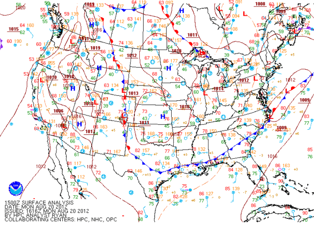
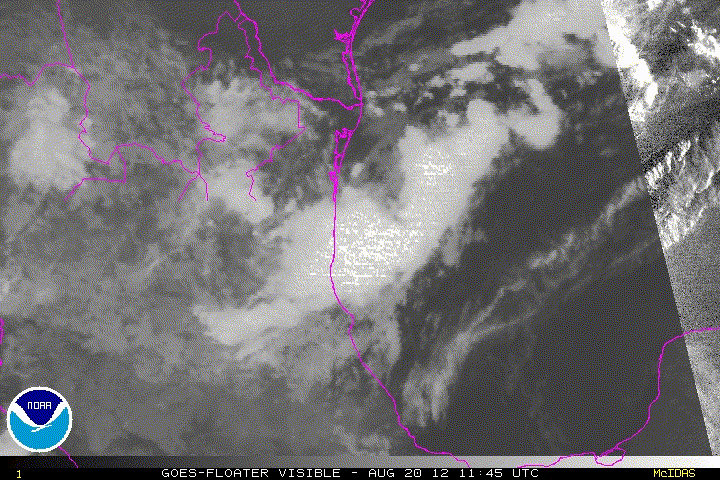
Not what I'm seeing. Looks like it's merging with the pre-frontal trof as wind shear increases overhead. Convection elongating to the NE. No LLC. Recon will probably not fly.
I respectfully disagree with you. There is a elongated low level circulation which is stationary just off the coastline. RGB and visible satellite imagery will show that. Also, it is evidently significant enough for NHC to send out Air Force Recon down there to see what is going on later this afternoon.
Post is not official forecast. Just the opinion of this poster. Please refer to the latest information from NHC or NWS offices.