ATL: INVEST 95L

Moderator: S2k Moderators

Message
Author
User avatar
brunota2003
S2K Supporter
S2K Supporter
Posts: 9476
Age: 33
Joined: Sat Jul 30, 2005 9:56 pm
Location: Stanton, KY...formerly Havelock, NC
Contact:

Re: ATL: INVEST 95L

#61 Postby brunota2003 » Mon Aug 20, 2012 2:41 am

Have fun figuring out which one it is! It is getting busy in the ATL :lol:

TROPICAL WEATHER OUTLOOK
NWS NATIONAL HURRICANE CENTER MIAMI FL
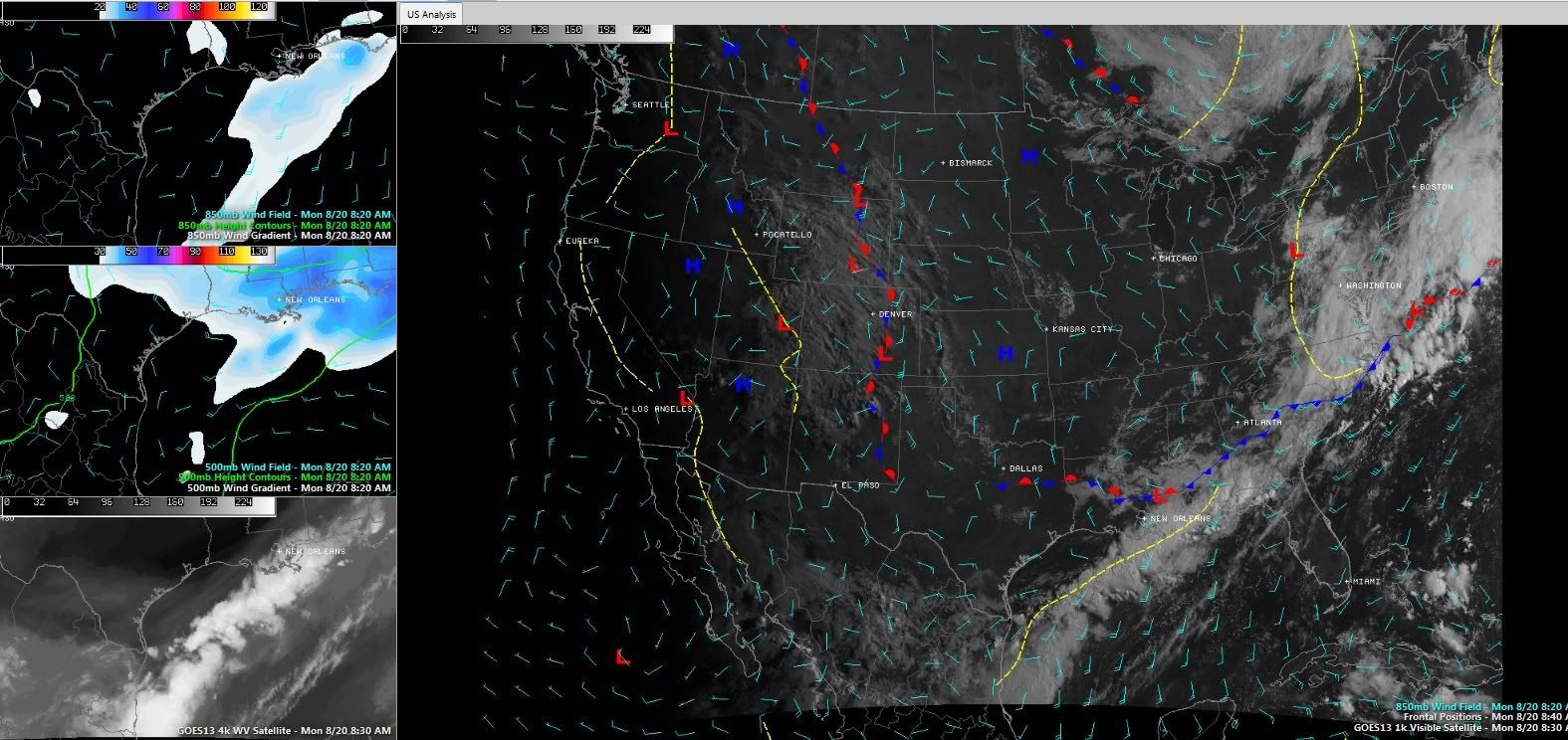
200 AM EDT MON AUG 20 2012

FOR THE NORTH ATLANTIC...CARIBBEAN SEA AND THE GULF OF MEXICO...

THE NATIONAL HURRICANE CENTER IS ISSUING ADVISORIES ON HURRICANE
GORDON...LOCATED OVER THE NORTHEASTERN ATLANTIC OCEAN IN THE EASTERN
AZORES ISLANDS ABOUT 20 MILES NORTH OF SANTA MARIA ISLAND AND ABOUT
40 MILES SOUTHEAST OF SAO MIGUEL ISLAND.

SHOWERS AND THUNDERSTORMS CONTINUE TO SHOW SIGNS OF ORGANIZATION
ASSOCIATED WITH A TROPICAL WAVE AND A LOW PRESSURE AREA LOCATED
ABOUT 1250 MILES EAST OF THE LESSER ANTILLES. ENVIRONMENTAL
CONDITIONS ARE CONDUCIVE FOR A TROPICAL DEPRESSION TO FORM
DURING THE NEXT DAY OR SO AS THE LARGE DISTURBANCE MOVES WESTWARD
AT 20 TO 25 MPH. THIS SYSTEM HAS A HIGH CHANCE...80 PERCENT...OF
BECOMING A TROPICAL CYCLONE DURING THE NEXT 48 HOURS.

CLOUDINESS AND SHOWERS ASSOCIATED WITH A SURFACE TROUGH LOCATED
OVER THE SOUTHWESTERN GULF OF MEXICO HAVE CHANGED LITTLE DURING
THE PAST SEVERAL HOURS. HOWEVER...SOME GRADUAL DEVELOPMENT OF THIS
SYSTEM IS POSSIBLE DURING THE NEXT DAY OR SO IF THE DISTURBANCE
REMAINS OFFSHORE. THIS SYSTEM HAS A LOW CHANCE...20 PERCENT...OF
BECOMING A TROPICAL CYCLONE DURING THE NEXT 48 HOURS. REGARDLESS OF
DEVELOPMENT...HEAVY RAINFALL IS POSSIBLE IN THE MEXICAN STATES OF
TAMAULIPAS AND VERACRUZ DURING THE NEXT DAY OR TWO.


A TROPICAL WAVE LOCATED ABOUT 150 MILES SOUTH OF THE CAPE VERDE
ISLANDS IS PRODUCING SCATTERED SHOWERS AND A FEW THUNDERSTORMS.
SOME GRADUAL DEVELOPMENT IS POSSIBLE OVER THE NEXT FEW DAYS AS THE
DISTURBANCE MOVES WESTWARD AT 15 TO 20 MPH. THIS SYSTEM HAS A LOW
CHANCE...20 PERCENT...OF BECOMING A TROPICAL CYCLONE DURING THE
NEXT 48 HOURS.

ELSEWHERE...TROPICAL CYCLONE FORMATION IS NOT EXPECTED DURING THE
NEXT 48 HOURS.

$$
FORECASTER STEWART
0 likes   
Just a small town southern boy helping other humans.

User avatar
northjaxpro
S2K Supporter
S2K Supporter
Posts: 8900
Joined: Mon Sep 27, 2010 11:21 am
Location: Jacksonville, FL

#62 Postby northjaxpro » Mon Aug 20, 2012 5:48 am

Impressive convective burst occuring early this morning right over the LLC which is basically stationary just off the Mexican coast. or right along the coastline. If this trend continues with the convection and 95L can manage to stay off the coast, we may see this become a TD or possibly a TS by late this afternoon or this evening. This is definitely going to have to be monitored closely as 95L I believe will meander around for a couple days or drift slowly north.
Also, look at the progress of the frontal system making it all the way down into GOM. Amazing seeing this type of front in late August. ____________________________

The posts in this forum are NOT official forecast. For official information, please refer to the NHC and NWS products.
0 likes   
NEVER, EVER SAY NEVER in the tropics and weather in general, and most importantly, with life itself!!

________________________________________________________________________________________

Fay 2008 Beryl 2012 Debby 2012 Colin 2016 Hermine 2016 Julia 2016 Matthew 2016 Irma 2017 Dorian 2019

User avatar
cycloneye
Admin
Admin
Posts: 139131
Age: 67
Joined: Thu Oct 10, 2002 10:54 am
Location: San Juan, Puerto Rico

Re: ATL: INVEST 95L

#63 Postby cycloneye » Mon Aug 20, 2012 6:48 am

Up to 30%

SHOWER AND THUNDERSTORM ACTIVITY HAS INCREASED OVER THE WESTERN GULF
OF MEXICO IN ASSOCIATION WITH A SURFACE TROUGH. SOME GRADUAL
DEVELOPMENT OF THIS SYSTEM IS POSSIBLE DURING THE NEXT DAY OR SO IF
IT REMAINS OFFSHORE. THIS SYSTEM HAS A MEDIUM CHANCE...30
PERCENT...OF BECOMING A TROPICAL CYCLONE DURING THE NEXT 48 HOURS.
REGARDLESS OF DEVELOPMENT...HEAVY RAINFALL IS POSSIBLE IN THE
MEXICAN STATES OF TAMAULIPAS AND VERACRUZ DURING THE NEXT DAY OR
TWO. AN AIR FORE RESERVE HURRICANE HUNTER AIRCRAFT IS SCHEDULED TO
INVESTIGATE THIS SYSTEM LATER TODAY.
0 likes   
Visit the Caribbean-Central America Weather Thread where you can find at first post web cams,radars
and observations from Caribbean basin members Click Here

Dean4Storms
S2K Supporter
S2K Supporter
Posts: 6355
Age: 61
Joined: Sun Aug 31, 2003 1:01 pm
Location: Miramar Bch. FL

#64 Postby Dean4Storms » Mon Aug 20, 2012 7:47 am

I would bet we have a closed Low and a TD at least down there by the time Recon gets there. Some very cold cloud tops on IR Satellite and rotation now on radar.......


http://radar.weather.gov/ridge/radar.ph ... O&loop=yes
0 likes   

User avatar
cycloneye
Admin
Admin
Posts: 139131
Age: 67
Joined: Thu Oct 10, 2002 10:54 am
Location: San Juan, Puerto Rico

Re: ATL: INVEST 95L

#65 Postby cycloneye » Mon Aug 20, 2012 7:49 am

12z Best Track

AL, 95, 2012082012, , BEST, 0, 232N, 972W, 20, 1008, DB

ftp://ftp.nhc.noaa.gov/atcf/tcweb/inves ... 012.invest
0 likes   
Visit the Caribbean-Central America Weather Thread where you can find at first post web cams,radars
and observations from Caribbean basin members Click Here

Dean4Storms
S2K Supporter
S2K Supporter
Posts: 6355
Age: 61
Joined: Sun Aug 31, 2003 1:01 pm
Location: Miramar Bch. FL

#66 Postby Dean4Storms » Mon Aug 20, 2012 7:49 am

The big question now is....... Does the trough digging into the northern Gulf pull it East Bound or does it miss it and sit there a bit then head north or NW?
0 likes   

Dean4Storms
S2K Supporter
S2K Supporter
Posts: 6355
Age: 61
Joined: Sun Aug 31, 2003 1:01 pm
Location: Miramar Bch. FL

#67 Postby Dean4Storms » Mon Aug 20, 2012 7:54 am

The trough and dry air has dug all the way into south TX.... I don't see it sitting there if it develops quickly today. All the steering in the mid levels looks east.......

http://www.ssd.noaa.gov/goes/east/gmex/flash-wv.html
0 likes   

Dean4Storms
S2K Supporter
S2K Supporter
Posts: 6355
Age: 61
Joined: Sun Aug 31, 2003 1:01 pm
Location: Miramar Bch. FL

#68 Postby Dean4Storms » Mon Aug 20, 2012 8:00 am

Wonder how much also the convection being really heavy and to the east of the Low gets it to form further east?
0 likes   

User avatar
northjaxpro
S2K Supporter
S2K Supporter
Posts: 8900
Joined: Mon Sep 27, 2010 11:21 am
Location: Jacksonville, FL

Re: ATL: INVEST 95L

#69 Postby northjaxpro » Mon Aug 20, 2012 8:24 am

95L is looking better by the hour. Air Force Recon Hurricane Hunter aircraft I believe has been scheduled to fly down there to check the system out later this afternoon.
0 likes   
NEVER, EVER SAY NEVER in the tropics and weather in general, and most importantly, with life itself!!

________________________________________________________________________________________

Fay 2008 Beryl 2012 Debby 2012 Colin 2016 Hermine 2016 Julia 2016 Matthew 2016 Irma 2017 Dorian 2019

Aric Dunn
Category 5
Category 5
Posts: 21228
Age: 41
Joined: Sun Sep 19, 2004 9:58 pm
Location: Ready for the Chase.
Contact:

#70 Postby Aric Dunn » Mon Aug 20, 2012 8:24 am

there does appear to be an elongated circ developing. does need to be watched today.
0 likes   
Note: If I make a post that is brief. Please refer back to previous posts for the analysis or reasoning. I do not re-write/qoute what my initial post said each time.
If there is nothing before... then just ask :)

Space & Atmospheric Physicist, Embry-Riddle Aeronautical University,
I believe the sky is falling...

User avatar
wxman57
Moderator-Pro Met
Moderator-Pro Met
Posts: 22482
Age: 66
Joined: Sat Jun 21, 2003 8:06 pm
Location: Houston, TX (southwest)

Re: ATL: INVEST 95L

#71 Postby wxman57 » Mon Aug 20, 2012 8:46 am

northjaxpro wrote:95L is looking better by the hour. Air Force Recon Hurricane Hunter aircraft I believe has been scheduled to fly down there to check the system out later this afternoon.


Not what I'm seeing. Looks like it's merging with the pre-frontal trof as wind shear increases overhead. Convection elongating to the NE. No LLC. Recon will probably not fly.
0 likes   

RL3AO
Moderator-Pro Met
Moderator-Pro Met
Posts: 16308
Joined: Thu Jun 14, 2007 10:03 pm
Location: NC

#72 Postby RL3AO » Mon Aug 20, 2012 8:55 am

Image

Doesn't look good. Surface trough moving over the GOM and wind shear picking up.
0 likes   

Stormlover2012
Category 1
Category 1
Posts: 262
Joined: Sat Jun 23, 2012 11:03 am

Re: ATL: INVEST 95L

#73 Postby Stormlover2012 » Mon Aug 20, 2012 8:57 am

Ya it looks horrible
0 likes   

ozonepete
Professional-Met
Professional-Met
Posts: 4743
Joined: Mon Sep 07, 2009 3:23 pm
Location: From Ozone Park, NYC / Now in Brooklyn, NY

Re: ATL: INVEST 95L

#74 Postby ozonepete » Mon Aug 20, 2012 9:25 am

:uarrow: You mean worse than Helene, lol?
0 likes   

Stormcenter
S2K Supporter
S2K Supporter
Posts: 6617
Joined: Wed Sep 03, 2003 11:27 am
Location: Houston, TX

Re: ATL: INVEST 95L

#75 Postby Stormcenter » Mon Aug 20, 2012 9:41 am

Well the NHC doesn't seem to feel that it has no development chance if they upped to 30%. IMO
0 likes   

HurrMark
Category 2
Category 2
Posts: 769
Joined: Tue Aug 12, 2008 10:18 pm
Location: Somerville, MA

Re: ATL: INVEST 95L

#76 Postby HurrMark » Mon Aug 20, 2012 9:48 am

Agreed...this looks terrible. This is totally frontal in nature, and I don't see this becoming a tropical system (my opinion only).
0 likes   

Stormcenter
S2K Supporter
S2K Supporter
Posts: 6617
Joined: Wed Sep 03, 2003 11:27 am
Location: Houston, TX

#77 Postby Stormcenter » Mon Aug 20, 2012 9:55 am

0 likes   

Aric Dunn
Category 5
Category 5
Posts: 21228
Age: 41
Joined: Sun Sep 19, 2004 9:58 pm
Location: Ready for the Chase.
Contact:

#78 Postby Aric Dunn » Mon Aug 20, 2012 9:58 am

there is definitely a circ down there. its small a little elongated but appears to be becoming more defined. the trof its attached too is weak and narrow and if a solid circ does take shape it would not take much to break from the trof. it has a 40 to 50 % chance right now.
0 likes   
Note: If I make a post that is brief. Please refer back to previous posts for the analysis or reasoning. I do not re-write/qoute what my initial post said each time.
If there is nothing before... then just ask :)

Space & Atmospheric Physicist, Embry-Riddle Aeronautical University,
I believe the sky is falling...

User avatar
cycloneye
Admin
Admin
Posts: 139131
Age: 67
Joined: Thu Oct 10, 2002 10:54 am
Location: San Juan, Puerto Rico

Re: ATL: INVEST 95L

#79 Postby cycloneye » Mon Aug 20, 2012 10:01 am

Recon will fly this afternoon so we will have a much better idea about what is there.

viewtopic.php?f=59&t=113403&p=2253022#p2253022
0 likes   
Visit the Caribbean-Central America Weather Thread where you can find at first post web cams,radars
and observations from Caribbean basin members Click Here

Stormcenter
S2K Supporter
S2K Supporter
Posts: 6617
Joined: Wed Sep 03, 2003 11:27 am
Location: Houston, TX

Re:

#80 Postby Stormcenter » Mon Aug 20, 2012 10:02 am

Agree.

Aric Dunn wrote:there is definitely a circ down there. its small a little elongated but appears to be becoming more defined. the trof its attached too is weak and narrow and if a solid circ does take shape it would not take much to break from the trof. it has a 40 to 50 % chance right now.
0 likes   


Return to “2012”

Who is online

Users browsing this forum: No registered users and 48 guests