#101 Postby Rgv20 » Sun Aug 31, 2014 12:05 pm
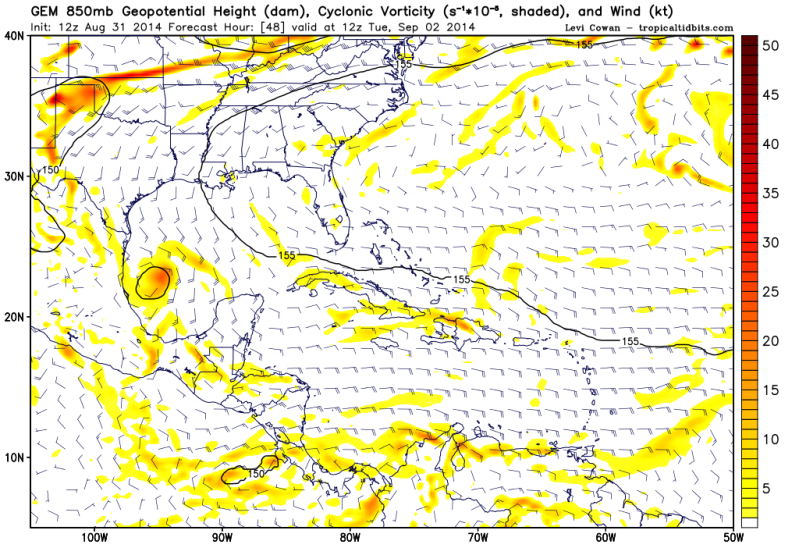
CMC is not as enthusiastic of developing 99L but it does show a decent 850mb Vorticity moving to NE Mexico early next week
12zCMC 48hrs
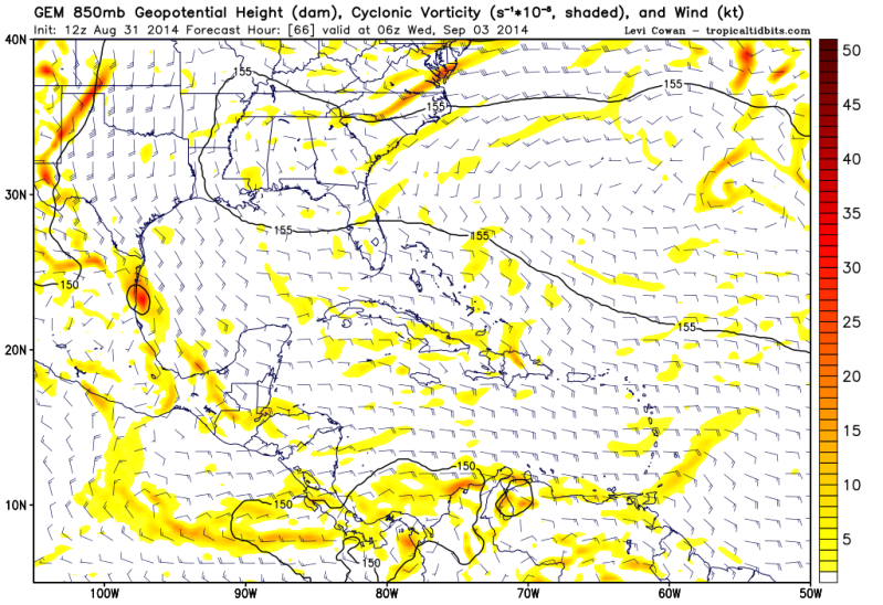
12zCMC 66hrs
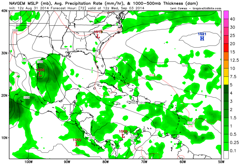
12zNAVGEM develops 99L to a TD/TS with Landfall in NE Mexico/Deep South Texas....more of an outlier right now.
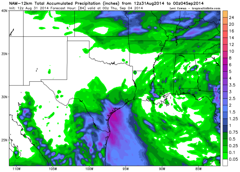
While the 12zNAM dropped on developing 99L it does show the moisture streaming NW to NE Mexico and South/East Texas...Best case scenario!
12zNAM Rainfall Totals thru Wednesday Evening..
0 likes
The following post is NOT an official forecast and should not be used as such. It is just the opinion of the poster and may or may not be backed by sound meteorological data. It is NOT endorsed by any professional institution including storm2k.org For Official Information please refer to the NHC and NWS products.


