#2 Postby ouragans » Thu Sep 04, 2014 5:39 am
Up to 40%
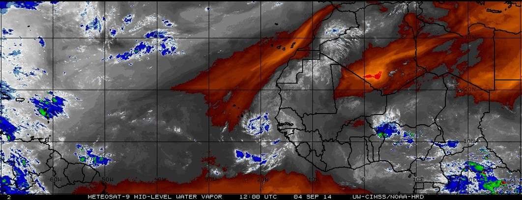
TROPICAL WEATHER OUTLOOK
NWS NATIONAL HURRICANE CENTER MIAMI FL
200 AM EDT THU SEP 4 2014
For the North Atlantic...Caribbean Sea and the Gulf of Mexico:
1. A tropical wave, accompanied by a broad low pressure system, has
emerged off the coast of Africa a few hundred miles east-southeast
of the Cape Verde Islands. Environmental conditions are expected to
be conducive for gradual development of this disturbance through
early next week while it moves westward at about 15 mph.
* Formation chance through 48 hours...low...10 percent.
* Formation chance through 5 days...medium...40 percent.
Forecaster Stewart
0 likes
Personal forecast disclaimer
This post is a personal point of view, not an information. Please refer to official statements for life-threatening decisions.
David '79, Frederic '79, Hugo '89, Iris, Luis & Marilyn '95, Georges '98, Lenny '99, Dean '07, Irma '17, Maria '17, Fiona '22, Philippe '23, Tammy '23
16°13'33.3,"6N -61°36'39.5"W


