Global model runs discussion

Moderator: S2k Moderators

Message
Author
User avatar
BigA
Professional-Met
Professional-Met
Posts: 1317
Joined: Sun Jul 24, 2005 10:56 pm

Re: Global Model Runs Discussion

#2661 Postby BigA » Sat Sep 03, 2011 7:12 am

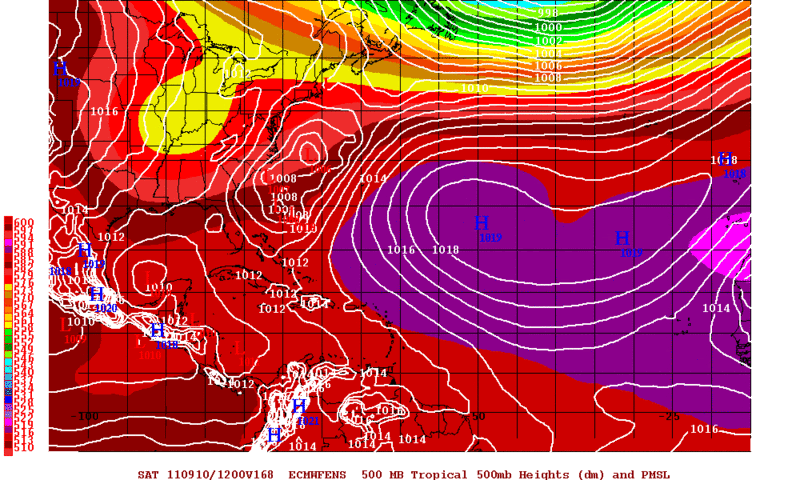
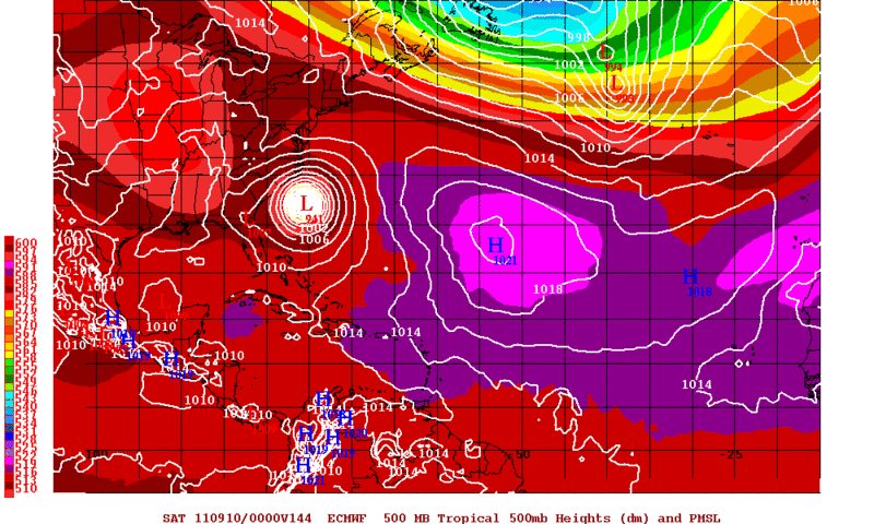
cycloneye wrote:On the long range,plenty of more action is instored,but my attention went more to that big Bermuda high anchored after mid September.


No reason that that couldn't happen. Mid September CV storms tracking west are rare, but not unheared of. Gloria (1985), Inez (1966), and the 1893 Charleston hurricane (formed on September 25 and tracked all the way across the Atlantic)! come to mind, and I'm sure you remember Georges. The shift in favor of a robust Bermuda high seems to be a common theme in the long range models.

Not sure how the developing La Nina would influence a robust bermuda high later in the season, but it could be a factor.
0 likes   

User avatar
Vortex
S2K Supporter
S2K Supporter
Posts: 4644
Age: 52
Joined: Fri Aug 01, 2003 9:34 pm
Location: Hilton Head, SC

#2662 Postby Vortex » Sat Sep 03, 2011 8:57 am

I'm beginning to notice in the long range the globals namely the GFS is starting to lower pressure across the western carribean..As we transition into Fall this will become the focal point for activity...I still expect CV activity just after mid-september it becomes less likely that storms will travers the entire pond as troughiness becomes more progressive and amplified.
0 likes   

User avatar
cycloneye
Admin
Admin
Posts: 139782
Age: 67
Joined: Thu Oct 10, 2002 10:54 am
Location: San Juan, Puerto Rico

Re: Global Model Runs Discussion

#2663 Postby cycloneye » Sat Sep 03, 2011 11:09 am

From Dr Jeff Masters:

Lee is the 12th named storm this year, and came eight days before the half-way point of the Atlantic hurricane season. Climatologically, September 10 marks the half-way point. A typical hurricane season has just 10 - 11 named storms, so we've already had more than a whole season's worth of storms before reaching the half-way point. At this rate, 2011 will see 24 - 26 named storms, making it the 2nd busiest season on record, behind 2005. Lee's formation date of September 2 puts 2011 in 5th place for earliest date of arrival of the season's 12th storm. Only 2005, 1995, 1936, and 1933 had an earlier 12th storm.

0 likes   
Visit the Caribbean-Central America Weather Thread where you can find at first post web cams,radars
and observations from Caribbean basin members Click Here

User avatar
cycloneye
Admin
Admin
Posts: 139782
Age: 67
Joined: Thu Oct 10, 2002 10:54 am
Location: San Juan, Puerto Rico

Re: Global Model Runs Discussion

#2664 Postby cycloneye » Sat Sep 03, 2011 2:02 pm

For the first time,ECMWF has an area in the Caribbean that looks to develop. We will have to see if it continues to show it in further runs.

Image
0 likes   
Visit the Caribbean-Central America Weather Thread where you can find at first post web cams,radars
and observations from Caribbean basin members Click Here

User avatar
BigA
Professional-Met
Professional-Met
Posts: 1317
Joined: Sun Jul 24, 2005 10:56 pm

Re: Global Model Runs Discussion

#2665 Postby BigA » Sat Sep 03, 2011 2:20 pm

[quote="cycloneye"]For the first time,ECMWF has an area in the Caribbean that looks to develop. We will have to see if it continues to show it in further runs.
quote]

Looks like the origin of that is from a Cape-Verde wave, not a homebrew. Could be a Caribbean cruiser if the Bermuda High sets up strong, but given that it's ten days out, this is mere conjecture.
0 likes   

User avatar
cycloneye
Admin
Admin
Posts: 139782
Age: 67
Joined: Thu Oct 10, 2002 10:54 am
Location: San Juan, Puerto Rico

Re: Global Model Runs Discussion

#2666 Postby cycloneye » Sat Sep 03, 2011 5:59 pm

GFS in the extreme long range is loaded with cyclones everywhere.

Image

Saved image.
0 likes   
Visit the Caribbean-Central America Weather Thread where you can find at first post web cams,radars
and observations from Caribbean basin members Click Here

User avatar
Macrocane
Category 5
Category 5
Posts: 4218
Age: 35
Joined: Sun May 24, 2009 5:35 pm
Location: El Salvador

Re: Global Model Runs Discussion

#2667 Postby Macrocane » Sat Sep 03, 2011 6:02 pm

:uarrow: Interesting that the GFS has a strong trough in the East coast of US and a strong high behind it, it shows a pattern more typical of mid October, that may take the Caribbean cyclone to Florida, however it's still to early for that kind of pattern so I don't believe it yet.
0 likes   

User avatar
BigA
Professional-Met
Professional-Met
Posts: 1317
Joined: Sun Jul 24, 2005 10:56 pm

Re: Global Model Runs Discussion

#2668 Postby BigA » Sat Sep 03, 2011 7:15 pm

Macrocane wrote::uarrow: Interesting that the GFS has a strong trough in the East coast of US and a strong high behind it, it shows a pattern more typical of mid October, that may take the Caribbean cyclone to Florida, however it's still to early for that kind of pattern so I don't believe it yet.


Probably part of the GFS's tendency to overdo troughiness, especially in the long run. But the Bermuda High looks well-established still, despite the relatively late date.
0 likes   

bigdan35
Tropical Depression
Tropical Depression
Posts: 83
Age: 48
Joined: Sat Jun 04, 2011 9:56 am
Location: Sarasota Florida
Contact:

Re: Global Model Runs Discussion

#2669 Postby bigdan35 » Sat Sep 03, 2011 9:10 pm

0 likes   

WeatherEmperor
S2K Supporter
S2K Supporter
Posts: 4806
Age: 40
Joined: Thu Sep 04, 2003 2:54 pm
Location: South Florida

Re: Global Model Runs Discussion

#2670 Postby WeatherEmperor » Sat Sep 03, 2011 11:37 pm

bigdan35 wrote:Nogaps trys to develope another storm in gulf :cheesy:
https://www.fnmoc.navy.mil/wxmap_cgi/cg ... t=Tropical


http://stormcenter2011.ucoz.com/


The Nogaps is not alone with this. Tonight's 00Z GFS run also shows another storm in the GOM.

Image

Uploaded with ImageShack.us
0 likes   

User avatar
cycloneye
Admin
Admin
Posts: 139782
Age: 67
Joined: Thu Oct 10, 2002 10:54 am
Location: San Juan, Puerto Rico

Re: Global Model Runs Discussion

#2671 Postby cycloneye » Sat Sep 03, 2011 11:39 pm

:uarrow: And is in less than 10 days.

Image

Saved image.
0 likes   
Visit the Caribbean-Central America Weather Thread where you can find at first post web cams,radars
and observations from Caribbean basin members Click Here

WeatherEmperor
S2K Supporter
S2K Supporter
Posts: 4806
Age: 40
Joined: Thu Sep 04, 2003 2:54 pm
Location: South Florida

Re: Global Model Runs Discussion

#2672 Postby WeatherEmperor » Sat Sep 03, 2011 11:42 pm

Yes Luis that is correct. This needs to be watched closely. We will see if other models (Euro, CMC, etc.) will develop this in the future. Where is Michael? I am sure he would be very interested in this run.....
0 likes   

User avatar
HurricaneMaster_PR
Category 2
Category 2
Posts: 795
Joined: Tue Jul 22, 2003 6:23 pm
Location: San Juan, Puerto Rico

Re: Global Model Runs Discussion

#2673 Postby HurricaneMaster_PR » Sat Sep 03, 2011 11:46 pm

00Z GFS Long Range

Image

Uploaded with ImageShack.us

Image

Uploaded with ImageShack.us
0 likes   

User avatar
cycloneye
Admin
Admin
Posts: 139782
Age: 67
Joined: Thu Oct 10, 2002 10:54 am
Location: San Juan, Puerto Rico

Re: Global Model Runs Discussion

#2674 Postby cycloneye » Sat Sep 03, 2011 11:52 pm

:uarrow: And at the end of this 00z run,that system in the Caribbean ends up in the GOM.

Image

Uploaded by Imageshack.us
0 likes   
Visit the Caribbean-Central America Weather Thread where you can find at first post web cams,radars
and observations from Caribbean basin members Click Here

maxintensity
Tropical Storm
Tropical Storm
Posts: 165
Joined: Tue Aug 02, 2011 9:54 pm

Re: Global Model Runs Discussion

#2675 Postby maxintensity » Sat Sep 03, 2011 11:56 pm

Its been 3 years since a major hurricane was in the caribbean sea. Guess you could say we're overdue. It would be strange if we could make it 4 years without a single major hurricane in the caribbean. I wouldn't say unprecedented because I havent done the research but it would feel weird.
0 likes   

User avatar
Macrocane
Category 5
Category 5
Posts: 4218
Age: 35
Joined: Sun May 24, 2009 5:35 pm
Location: El Salvador

Re: Global Model Runs Discussion

#2676 Postby Macrocane » Sun Sep 04, 2011 12:22 am

And again the FIM was one of the first models to develop something in that area and also the cape verde system, this is yesterday 12z run at 204 hours:

Image
0 likes   

User avatar
Rgv20
S2K Supporter
S2K Supporter
Posts: 2458
Age: 37
Joined: Wed Jan 05, 2011 5:42 pm
Location: Edinburg/McAllen Tx

#2677 Postby Rgv20 » Sun Sep 04, 2011 1:48 am

I'm gonna be paying close attention to the BOC and Southwestern GOM as the 12zECMWF Ensembles and the New 9-04-2011 0zECMWF suggest lowering pressures down there starting around Friday.

12zECMWF Ensembles forecast valid for Saturday Morning.
Image

0zECMWF forecast valid for Friday Evening.
Image
0 likes   
The following post is NOT an official forecast and should not be used as such. It is just the opinion of the poster and may or may not be backed by sound meteorological data. It is NOT endorsed by any professional institution including storm2k.org For Official Information please refer to the NHC and NWS products.

User avatar
HurricaneMaster_PR
Category 2
Category 2
Posts: 795
Joined: Tue Jul 22, 2003 6:23 pm
Location: San Juan, Puerto Rico

Re: Global Model Runs Discussion

#2678 Postby HurricaneMaster_PR » Sun Sep 04, 2011 1:51 am

00Z Euro is showing something similar to the 00Z GFS near the same location (just east of the Caribbean) in 192 hrs...

00Z Euro at 192 hrs
Image

Uploaded with ImageShack.us

00Z GFS at 192 hrs
Image

Uploaded with ImageShack.us
0 likes   

User avatar
perk
Category 3
Category 3
Posts: 825
Joined: Mon Aug 09, 2004 9:35 am
Location: Richmond Texas

Re: Global Model Runs Discussion

#2679 Postby perk » Sun Sep 04, 2011 7:59 am

And not one of those models show any hope for Texas.I'm done with watching these models.
0 likes   

jabman98
Category 1
Category 1
Posts: 346
Joined: Fri Apr 25, 2003 12:15 pm
Location: Houston, TX

Re: Global Model Runs Discussion

#2680 Postby jabman98 » Sun Sep 04, 2011 8:15 am

What's up with something shown to develop down in the Bay of Campeche?
0 likes   


Return to “2015”

Who is online

Users browsing this forum: No registered users and 3 guests