Global model runs discussion
Moderator: S2k Moderators


-
ConvergenceZone
.gif)
- Category 5

- Posts: 5241
- Joined: Fri Jul 29, 2005 1:40 am
- Location: Northern California
Re: Global Model Runs Discussion
cycloneye, do you think we will get any activity in August?, or do you think we will have to wait until early-mid September to get any activity?
0 likes
-
cycloneye

- Admin

- Posts: 149480
- Age: 69
- Joined: Thu Oct 10, 2002 10:54 am
- Location: San Juan, Puerto Rico
Re: Global Model Runs Discussion
ConvergenceZone wrote:cycloneye, do you think we will get any activity in August?, or do you think we will have to wait until early-mid September to get any activity?
No waiting as from mid to late August things will blossom for a period of time before El Nino halts the ladder part of season.
0 likes
Visit the Caribbean-Central America Weather Thread where you can find at first post web cams,radars
and observations from Caribbean basin members Click Here
and observations from Caribbean basin members Click Here
-
ConvergenceZone
- Category 5
- Posts: 5241
- Joined: Fri Jul 29, 2005 1:40 am
- Location: Northern California
Re: Global Model Runs Discussion
cycloneye wrote:ConvergenceZone wrote:cycloneye, do you think we will get any activity in August?, or do you think we will have to wait until early-mid September to get any activity?
No waiting as from mid to late August things will blossom for a period of time before El Nino halts the ladder part of season.
Probably not a bad prediction as I heard people talking about El Nino on another board. Thus 2012 might be one of those quick hit brief seasons where we have a some good activity for 2 to 3 weeks before it winds down in September. Yep, good old El Nino.
0 likes
-
cycloneye
- Admin
- Posts: 149480
- Age: 69
- Joined: Thu Oct 10, 2002 10:54 am
- Location: San Juan, Puerto Rico
Re: Global Model Runs Discussion
CMC,NOGAPS GFS and a little bit ECMWF have some type of development of wave behind P07L in Central Atlantic. Of course we need consistency by them in future runs.
http://moe.met.fsu.edu/tcgengifs/
http://moe.met.fsu.edu/tcgengifs/
0 likes
Visit the Caribbean-Central America Weather Thread where you can find at first post web cams,radars
and observations from Caribbean basin members Click Here
and observations from Caribbean basin members Click Here

Re: Global Model Runs Discussion
the 18Z NOGAPS really likes the wave about to splash down...maybe this first wave is plowing the road for the big boy behind it....
https://www.fnmoc.navy.mil/wxmap_cgi/cg ... t=Tropical
https://www.fnmoc.navy.mil/wxmap_cgi/cg ... t=Tropical
0 likes
-
cycloneye
- Admin
- Posts: 149480
- Age: 69
- Joined: Thu Oct 10, 2002 10:54 am
- Location: San Juan, Puerto Rico
Re: Global Model Runs Discussion
Take is with a grain of salt as is only one GFS ensemble member,is long range and the operational doesn't have it. Let's see at the 12z run if this ensemble still has this and the operational shows it or not. Is a recurver but Bermuda would get wacked.


0 likes
Visit the Caribbean-Central America Weather Thread where you can find at first post web cams,radars
and observations from Caribbean basin members Click Here
and observations from Caribbean basin members Click Here
-
OuterBanker
- S2K Supporter

- Posts: 1761
- Joined: Wed Feb 26, 2003 10:53 am
- Location: Nags Head, NC
- Contact:
Re: Global Model Runs Discussion
Nogaps is indeed very interesting. But, have they ever been right?
GFS I think is too strong too early.
Euro is too weak I think, but I do think the track will be more south.
Anyway, It should bring Cycloneye some much needed rain.
Meanwhile, we are over our drought. It can stop raining now. I can't remember a stormier July here.
Before we start season over let's remember the first hurricane of last year. It was Irene, remember
0 likes

Re:
mcheer23 wrote:GFS has something VERY low latitude ..
http://moe.met.fsu.edu/cgi-bin/gfstc2.c ... =Animation
Both models developing the 1011mb surface low currently at ~10N 30W
http://www.met.nps.edu/~mtmontgo/satana ... t_TAFB.png
0 likes


Re: Global Model Runs Discussion
0 likes
Re: Global Model Runs Discussion
RAM has some semi floaters on the TW heading into the LA's and the other low lat one behind it.
BTW- that low lat looks very good. I suspect the first wave was the fullback and this one the models are hinting on is the running back....
http://rammb.cira.colostate.edu/ramsdis ... opical.asp
BTW- that low lat looks very good. I suspect the first wave was the fullback and this one the models are hinting on is the running back....
http://rammb.cira.colostate.edu/ramsdis ... opical.asp
0 likes
Re: Global Model Runs Discussion
18z GFS is showing our low lat guy into the lower Ant....at 150hr
http://mag.ncep.noaa.gov/NCOMAGWEB/appc ... mageSize=M
carib cruiser in 7 days....168hr
http://mag.ncep.noaa.gov/NCOMAGWEB/appc ... mageSize=M
after 7 days we get into la la land but I will keep posting for entertainment purposes only....
http://mag.ncep.noaa.gov/NCOMAGWEB/appc ... mageSize=M
carib cruiser in 7 days....168hr
http://mag.ncep.noaa.gov/NCOMAGWEB/appc ... mageSize=M
after 7 days we get into la la land but I will keep posting for entertainment purposes only....
0 likes
-
cycloneye
- Admin
- Posts: 149480
- Age: 69
- Joined: Thu Oct 10, 2002 10:54 am
- Location: San Juan, Puerto Rico
Re: Global Model Runs Discussion
ROCK wrote:18z GFS is showing our low lat guy into the lower Ant....at 150hr
http://mag.ncep.noaa.gov/NCOMAGWEB/appc ... mageSize=M
carib cruiser in 7 days....168hr
http://mag.ncep.noaa.gov/NCOMAGWEB/appc ... mageSize=M
after 7 days we get into la la land but I will keep posting for entertainment purposes only....
A much stronger run that past ones.
0 likes
Visit the Caribbean-Central America Weather Thread where you can find at first post web cams,radars
and observations from Caribbean basin members Click Here
and observations from Caribbean basin members Click Here

Re: Global Model Runs Discussion
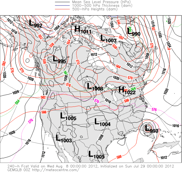
18z 276hr
Into the SE U.S.
http://raleighwx.americanwx.com/models/ ... SLP276.gif
Regardless of were it goes, the one thing I am looking at for a few days is that strong ridge in the Atlantic. So far most of the models are showing this and have been for many days. Alot of times you get a pattern that settles in and stays that way throughout the season. Let's see what happens because if we have this setup in September I am going to be a little concerned.
0 likes
The following post is NOT an official forecast and should not be used as such. It is just the opinion of the poster and may or may not be backed by sound meteorological data. It is NOT endorsed by any professional institution including storm2k.org For Official Information please refer to the NHC and NWS products.
-
cycloneye
- Admin
- Posts: 149480
- Age: 69
- Joined: Thu Oct 10, 2002 10:54 am
- Location: San Juan, Puerto Rico
Re: Global Model Runs Discussion
Searching the internet I found a neat site of the HWRF model.It has the past runs of the 2012 systems so far and with restricted access,you can see actual runs every six hours. Is actually developing one of the Pouches in the MDR.
http://www.emc.ncep.noaa.gov/gc_wmb/vxt/index.html

http://www.emc.ncep.noaa.gov/gc_wmb/vxt/index.html
0 likes
Visit the Caribbean-Central America Weather Thread where you can find at first post web cams,radars
and observations from Caribbean basin members Click Here
and observations from Caribbean basin members Click Here
Re: Global Model Runs Discussion
cycloneye wrote:Searching the internet I found a neat site of the HWRF model.It has the past runs of the 2012 systems so far and with restricted access,you can see actual runs every six hours. Is actually developing one of the Pouches in the MDR.
http://www.emc.ncep.noaa.gov/gc_wmb/vxt/index.html
[]http://i228.photobucket.com/albums/ee88/nrtiwlnvragn/8b8c4da3.png[/img]
Excellent site. Thanks for sharing.
0 likes
The following post is NOT an official forecast and should not be used as such. It is just the opinion of the poster and may or may not be backed by sound meteorological data. It is NOT endorsed by any professional institution including storm2k.org For Official Information please refer to the NHC and NWS products.
Who is online
Users browsing this forum: No registered users and 50 guests