txwatcher91 wrote:toad strangler wrote:txwatcher91 wrote:
But climo is not always right. No one thought we would have so many cat 5 hurricanes last year but we did... when the Euro and Nam both show a period of steady to quick deepening it catches my eye. GFS is rolling let’s see what it does.
We are talking about MAY climo. Not SEPTEMBER clomp. Gigantic difference.
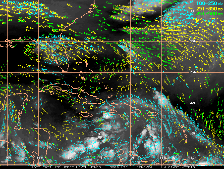
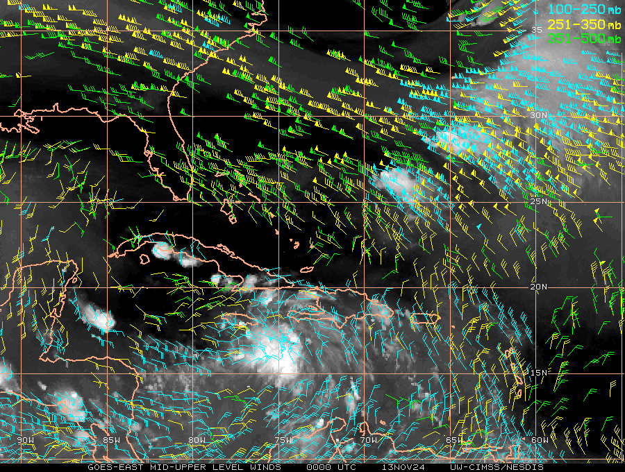
It doesn’t matter, September climo doesn’t favor multiple cat 5s but it happened. Point is the models are tools and to be used as such. The Euro and NAM showing a storm that deepens quickly up until landfall, possibly sub 980mb, is worth considering as a possibility. The shear charts show an anticyclone developing providing nice outflow and reducing shear dramatically. The loop current is plenty warm at 27-29C as well. May climo says there should be 50kts of shear to rip this apart but if modeling is correct it will be very low and favor steady intensification...

From my perspective, climo doesn't say what will definitely happen or not happen. Instead, it is a tool that suggests probabilities. So, in those cases where climo didn't/did favor something and it still happened/didn't happen, I don't look at that as saying climo was "wrong" per se. Rather, I'd think of climo as not helping in those cases. Regardless, climo will, of course, be helpful in most cases if used correctly.
Sometimes climo based suggestions are stronger than others. That there won't be a 0Z 3K NAM type major H (955 mb) in late May in the Gulf is an EXTREMELY strong suggestion by climo because there has not been one on record back to 1851. Heck, there has been only one H of any strength in the Gulf on record since 1851 and even that was over 150 years ago! That there won't be a major H is something I'd bet heavily on and feel very comfortable about my chances.